Old Maps of Addyston, Miami Township for Academic Research
Study the evolution of Addyston with 22 high-resolution historic maps. Whether you're teaching, researching, or modeling changes in land use, these maps provide essential visual documentation of urban, environmental, and geographic change.
- Analyze long-term change: Track patterns in development, transportation, and natural features.
- Ideal for environmental or urban studies: Support academic projects with primary historical map data.
- Use in the classroom or lab: Educators and researchers rely on these maps to bring historical context to life.
These maps are a powerful tool for teaching, research, and visualizing how Addyston has changed over the decades.
Addyston, Miami Township maps
(22)- 1914 Map of West Cincinnati
 1914 West Cincinnati1914 Print · USGSCincinnati and the Ohio River valley appear here in a period of intense industrial growth and suburban expansion just before the First World War. Researchers can trace the dense rail networks of the Chesapeake and Ohio or locate early institutions like the Ohio Military Institute and Spring Grove Cemetery.4 unique versions available
 - 1951 Map of Burlington, 1953 Print
 1951 Burlington1953 Print · USGSBoone County and the Ohio River shoreline appear here in the early fifties, showing the region as it transitioned into a major aviation hub. Genealogists can locate family burial sites like I O O F Cem and Watts Cem, or trace early roads near Hebron and Florence.
 - 1953 Map of Cincinnati, 1965 Print
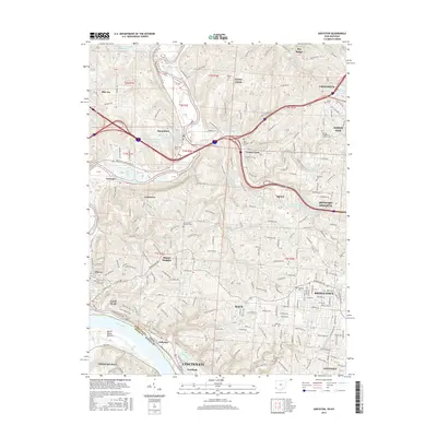
 1953 Cincinnati1965 Print · USGSThe Ohio River valley and the industrial heartland of Indiana and Ohio are captured here during the mid-century peak of rail and river commerce. Genealogists and historians can trace connections between Cincinnati and outlying military sites like Camp Atterbury and Bakalar AFB.3 unique versions available
 - 1954 Map of Addyston, 1955 Print
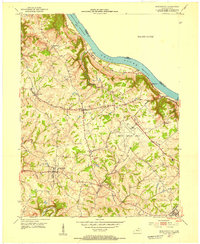
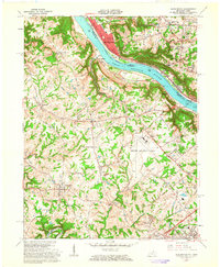
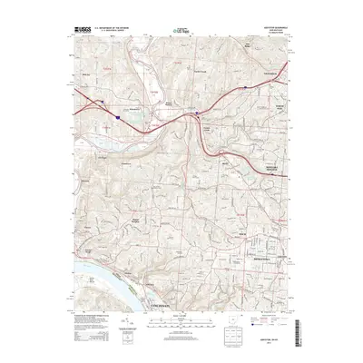
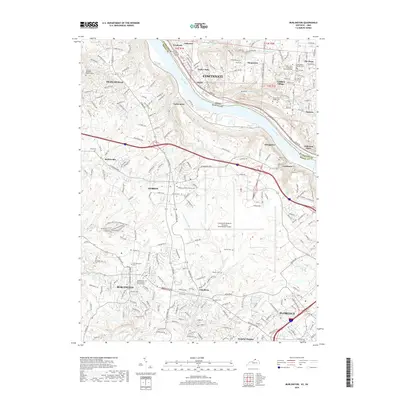
 1954 Addyston1955 Print · USGSThe Ohio River valley and its industrial corridors are captured here in the mid-fifties as the Cincinnati suburbs began to crest the western hills. Genealogists and historians can trace the paths of the Baltimore and Ohio railroad through Addyston, North Bend, and landmarks like Bethel Cem.
 - 1955 Map of Burlington, 1956 Print
 1955 Burlington1956 Print · USGSThe Ohio River valley in the mid-fifties reveals a bustling industrial riverfront alongside quiet Kentucky hillsides. Genealogists and historians can trace family cemeteries like Chambers Cem, locate the Anderson Ferry, and see the early Greater Cincinnati Airport.
 - 1957 Map of Cincinnati
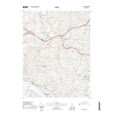
 1957 Cincinnati1957 Print · USGSThe Ohio River valley and its surrounding highlands thrived during the mid-fifties industrial peak, centered on the bustling Cincinnati and Dayton metropolitan hubs. Researchers can trace the extensive rail networks and military sites like Wright-Patterson AFB and Camp Atterbury.
 - 1960 Map of Addyston, 1963 Print
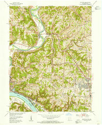
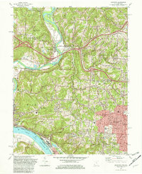
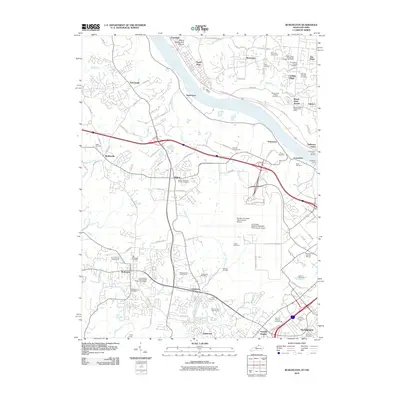
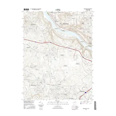
 1960 Addyston1963 Print · USGSGreater Cincinnati's western riverfront is captured here in the early sixties, showing the industrial pulse of Addyston and North Bend along the river. Genealogists can trace family names at the Bridgetown Cemetery or locate schools like Oak Hill High Sch.3 unique versions available
 - 1961 Map of Burlington, 1963 Print
 1961 Burlington1963 Print · USGSNorthern Kentucky and the Cincinnati riverfront meet in the early sixties during a period of rapid suburban and industrial growth. Genealogists and local historians can trace family burial sites like the Col Abraham Depew Grave and river crossings like the Anderson Ferry.3 unique versions available
 - 1982 Map of Addyston
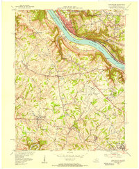
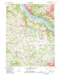
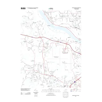
 1982 Addyston1982 Print · USGSThe confluence of the Ohio and Great Miami Rivers defines this Hamilton County landscape in the early eighties. Researchers can trace the river-and-rail economy through the Chessie System line and find family sites at Miamitown Cem and Cleves.3 unique versions available
 - 1983 Map of Burlington
 1983 Burlington1983 Print · USGSBoone County and the Cincinnati riverfront are captured here in the early eighties as aviation and suburban growth transformed the landscape. Researchers can find old family sites like the Col Abraham Depew Grave, the Anderson Ferry, and the Latonia Racetrack.4 unique versions available
 - 1986 Map of Cincinnati
 1986 Cincinnati1986 Print · USGSGreater Cincinnati and its tri-state surrounds are captured here in the mid-eighties as suburban growth reached into the neighboring hills and river valleys. Researchers can trace the development of transit hubs like Greater Cincinnati International Airport and historic sites such as Spring Grove Cemetery.3 unique versions available
 - 1996 Map of Addyston, 1999 Print
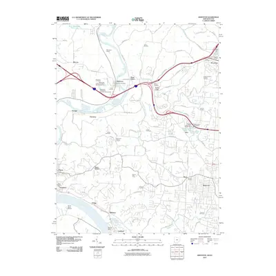
 1996 Addyston1999 Print · USGSThe Great Miami and Ohio River valleys show a mix of industrial riverfront and growing suburban centers in the 1990s. Trace local landmarks like the Miamitown Airport, Miami Cem, and the CSX rail corridor as it winds through North Bend and Addyston.
 - 2010 Map of Burlington, 2010 Print
 2010 Burlington2010 Print · USGSCovers Addyston, including Cincinnati, Florence, and other nearby areas
 - 2010 Map of Addyston, 2010 Print
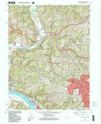
 2010 Addyston2010 Print · USGSCovers Addyston, including Cincinnati, Cheviot, and other nearby areas
 - 2013 Map of Burlington, 2013 Print
 2013 Burlington2013 Print · USGSCovers Addyston, including Cincinnati, Florence, and other nearby areas
 - 2013 Map of Addyston, 2013 Print
 2013 Addyston2013 Print · USGSCovers Addyston, including Cincinnati, Cheviot, and other nearby areas
 - 2016 Map of Burlington, 2016 Print
 2016 Burlington2016 Print · USGSCovers Addyston, including Cincinnati, Florence, and other nearby areas
 - 2016 Map of Addyston, 2016 Print
 2016 Addyston2016 Print · USGSCovers Addyston, including Cincinnati, Cheviot, and other nearby areas
 - 2019 Map of Burlington, 2019 Print
 2019 Burlington2019 Print · USGSCovers Addyston, including Cincinnati, Florence, and other nearby areas
 - 2019 Map of Addyston, 2019 Print
 2019 Addyston2019 Print · USGSCovers Addyston, including Cincinnati, Cheviot, and other nearby areas
 - 2022 Map of Burlington, 2022 Print
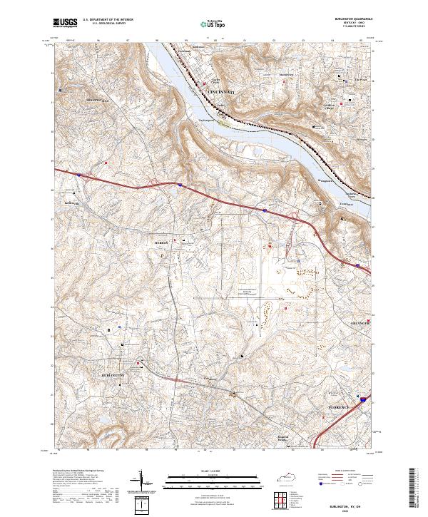 2022 Burlington2022 Print · USGSNorthern Kentucky and the Cincinnati riverfront are captured here in the early twenty-first century. Researchers can trace family sites at the Old Burlington Cem, Hebron Lutheran Church Cem, and the Boone County Justice Center.
 - 2023 Map of Addyston, 2023 Print
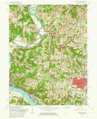
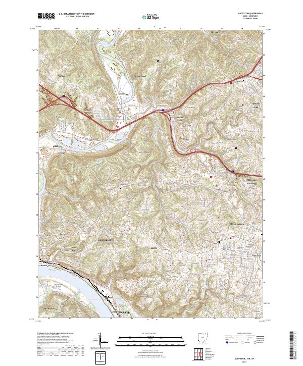 2023 Addyston2023 Print · USGSHamilton County's riverfront communities are captured here as they stand today, from the industrial banks of the Ohio River to the residential ridges. Researchers can locate numerous local burial sites including Miami Cem and Ebenezer Cem or trace the winding course of the Great Miami River.
End of results
Showing maps 1-22 of 22
Top cities near Addyston
- Cincinnati historical maps
- Hamilton historical maps
- Fairfield historical maps
- Covington historical maps
- Florence historical maps
- Independence historical maps
See more
Top neighborhoods of Addyston
Frequently asked questions
- What are the different types of historical maps available for Addyston?
- What is the oldest map of Addyston?
- Where can I purchase historical maps of Addyston for my home or office?
- Where can I download high-res historical maps of Addyston?
- Are there historical topographic maps available for Addyston?
- Is there historical aerial imagery available for Addyston?
- Where are historical maps of Addyston sourced from?