Old Maps of Findlay, Ohio for Hiking & Exploration
Hike through history with 28 historic maps of Findlay. Explore old trails, ghost towns, and forgotten backroads — perfect for outdoor adventurers and local explorers.
- Rediscover forgotten places: Map out old mining camps, roads, and footpaths that no longer exist on modern maps.
- Layer with modern tools: Combine with LiDAR or satellite views to plan hikes through historical terrain.
- Made for exploration: Popular among hikers, overlanders, and local history lovers.
Use these maps to find adventure and explore the hidden past of Findlay.
Findlay, OH maps
(28)- 1903 Map of Findlay, 1939 Print
 1903 Findlay1939 Print · USGSNorthwest Ohio at the turn of the century was a powerhouse of rail commerce and early industrial energy. Genealogists and historians can trace the intricate grid of Findlay or find the boom-era roots of Oil Center, Arcadia, and Cygnet.2 unique versions available
 - 1905 Map of Arlington, 1961 Print
 1905 Arlington1961 Print · USGSNorthwest Ohio at the turn of the century was a landscape of dense rail junctions and drainage-fed farmlands. You can trace the intersecting lines of the Northern Ohio RR and Ohio Central Lines at Arlington, or locate rural landmarks like Mt Moriah Church and the Treece School.
 - 1907 Map of Arlington
 1907 Arlington1907 Print · USGSNorthwestern Ohio's fertile landscape is captured here during the peak of its rail-and-river economy. Genealogists can trace family roots through local landmarks like North Washington PO, Jones School, and the Mt Olivet Church.2 unique versions available
 - 1950 Map of Marion
 1950 Marion1950 Print · USGSCentral Ohio was a powerhouse of rail and river industry at the mid-century point, serving as a vital corridor between the Great Lakes and the Ohio River valley. Genealogists and rail historians can trace the paths of the Erie RR and Nickel Plate Road through towns like Bucyrus, Galion, and Upper Sandusky.
 - 1956 Map of Toledo, 1968 Print
 1956 Toledo1968 Print · USGSNorthwest Ohio and the Lake Erie shoreline are shown in detail during the late fifties, showcasing a landscape of heavy industry, railroads, and island communities. Genealogists and historians can trace rail networks like the Chesapeake & Ohio RR or locate landmarks such as the Erie Proving Ground and Kelleys Island.4 unique versions available
 - 1960 Map of Arlington, 1961 Print
 1960 Arlington1961 Print · USGSSouthern Hancock County appears at the dawn of the 1960s as a thriving agricultural and energy-producing landscape. Researchers can trace the legacy of small-town Ohio through family cemeteries like Hartman Cem and the rail-side growth of Jenera and Arlington.4 unique versions available
 - 1960 Map of Findlay, 1962 Print
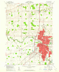 1960 Findlay1962 Print · USGSMid-century Findlay and its surroundings show a thriving hub of education, industry, and rail transport. Researchers can locate family landmarks like Aurand Cem, the Findlay College campus, and the extensive rail yards of the New York Central RR.4 unique versions available
 - 1960 Map of Arcadia, 1962 Print
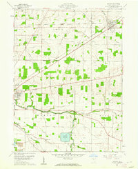 1960 Arcadia1962 Print · USGSHancock County was a landscape of small townships and rail-fed villages in the early sixties. Researchers can trace rural lineages through sites like Hamlin Cem, High Bank Cem, and the waters of the Findlay Reservoir.3 unique versions available
 - 1961 Map of Toledo
 1961 Toledo1961 Print · USGSThe western basin of Lake Erie and the industrial heart of Northern Ohio are captured here during the post-war era. Researchers can trace historical rail lines like the New York Central or locate landmarks like the Erie Ordnance Depot and Pelee Island.
 - 1962 Map of Marion
 1962 Marion1962 Print · USGSCentral Ohio during the post-war era showcases a dense network of railroad towns and emerging interstate highways. Genealogists can trace family roots in smaller settlements like Houcktown and Marseilles or locate landmarks near Indian Lake.
 - 1966 Map of Marion, 1968 Print
 1966 Marion1968 Print · USGSCentral Ohio in the mid-sixties is captured during a period of rapid highway expansion and industrial connectivity. Genealogists and historians can trace rail-and-river networks through towns like Marion, Urbana, and Mount Vernon, or locate landmarks such as Malabar Farm and Black Hand Rock.3 unique versions available
 - 1986 Map of Marion
 1986 Marion1986 Print · USGSNorthwest Ohio's agricultural and rail heartland is captured here in the mid-1980s, centered on the expansion of Marion and Kenton. Genealogists can trace family footprints near Bluffton College, old rail stops like Dola, and landmarks such as Indian Lake State Park.2 unique versions available
 - 1986 Map of Findlay
 1986 Findlay1986 Print · USGSNorthwest Ohio's industrial and agricultural heartland is documented here in the mid-1980s, centered on the major hubs of Findlay, Fostoria, and Tiffin. Researchers can trace the intersections of the BALTIMORE AND OHIO railroad and family sites near Greenlawn Cem or Sagar Ridge.2 unique versions available
 - 2010 Map of Arcadia, 2010 Print
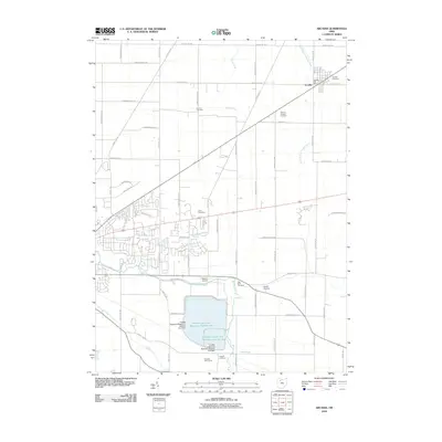 2010 Arcadia2010 Print · USGSThe village of Arcadia and the massive upground reservoirs of Hancock County appear in high detail during the early 2010s. Researchers can trace family history at Hamlin Cemetery and High Bank Cemetery or study the hydrology of the Blanchard River.
 - 2010 Map of Findlay, 2010 Print
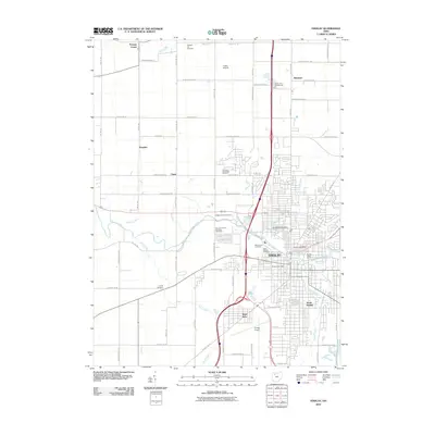 2010 Findlay2010 Print · USGSFindlay and its surrounding townships are captured here at the dawn of the 21st century as the city's modern footprint expands across the Hancock County landscape. Genealogists can trace family names and burial sites at the Hedges Family Cemetery, Aurand Cemetery, and Saint Michael Cemetery.
 - 2010 Map of Arlington, 2010 Print
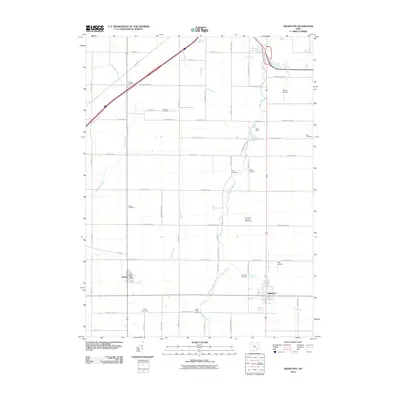 2010 Arlington2010 Print · USGSArlington and Jenera are captured during the early twenty-first century, showing a landscape defined by traditional farm grids and small-town infrastructure. Genealogists can trace a remarkable number of local burial sites, from Powell Cemetery and Keller Cemetery to Saint Pauls Cemetery.
 - 2013 Map of Arlington, 2013 Print
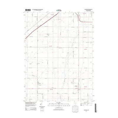 2013 Arlington2013 Print · USGSHancock County farmland is meticulously detailed in this early twenty-first-century survey of the communities south of Findlay. Genealogists and local historians can trace rural property context through numerous family-named landmarks like Keller Cem, Line Cem, and the Boehm Dairy Farm.
 - 2013 Map of Arcadia, 2013 Print
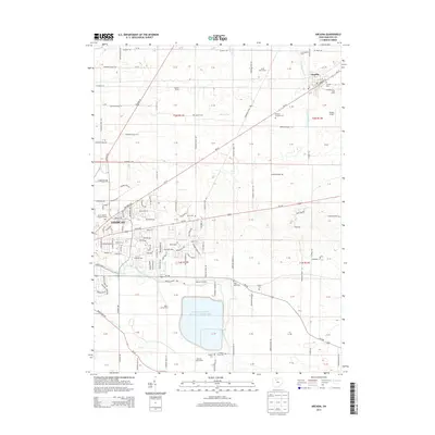 2013 Arcadia2013 Print · USGSFindlay and Arcadia are captured here in the early twenty-first century as the area's agricultural roots meet modern infrastructure. Researchers can trace family history at Memory Gardens Cem or locate legacy landmarks like Spahr Jersey Farm and Weaver Airport.
 - 2013 Map of Findlay, 2013 Print
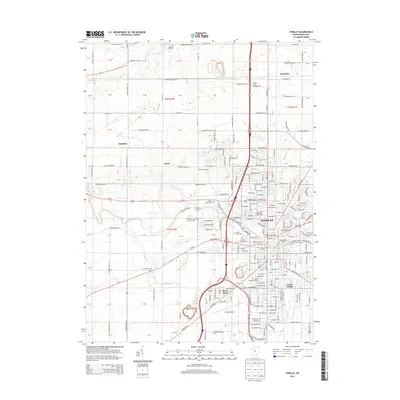 2013 Findlay2013 Print · USGSFindlay and its surrounding townships are shown in detail during a period of modern expansion along the Blanchard River. Genealogists and historians can trace numerous family and community sites, such as the Hedges Family Cem, Aurand Cem, and The Univ of Findlay.
 - 2016 Map of Arlington, 2016 Print
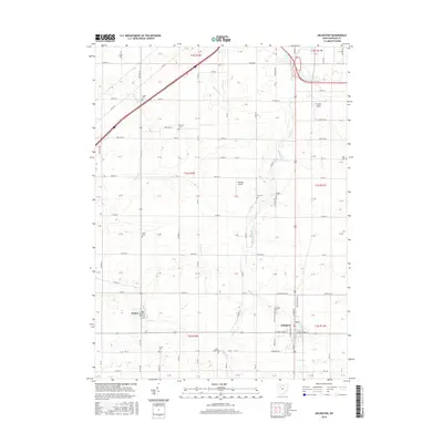 2016 Arlington2016 Print · USGSThe villages of Arlington and Jenera anchor this 2010s survey of the Hancock County landscape. Genealogists can trace family roots through several local burial grounds, such as Hartman Cem, Keller Cem, and Arlington Cem.
 - 2016 Map of Findlay, 2016 Print
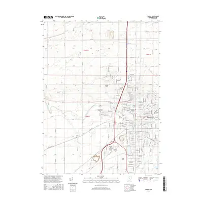 2016 Findlay2016 Print · USGSFindlay and its surrounding townships are shown here in the mid-2010s as a thriving center of education and commerce. Researchers can trace local history through the many burial grounds, including Saint Michael Cem, and landmarks like The Univ of Findlay.
 - 2016 Map of Arcadia, 2016 Print
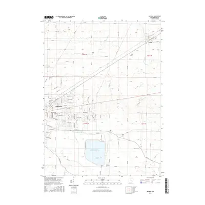 2016 Arcadia2016 Print · USGSHancock County at the turn of the twenty-first century reveals a landscape shaped by both early settlement and modern civil engineering. Researchers can trace local heritage through the many family cemeteries like Brights Cem or explore the massive footprints of Findlay Reservoir and Arcadia.
 - 2019 Map of Findlay, 2019 Print
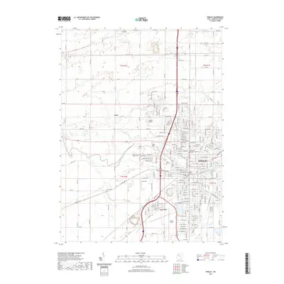 2019 Findlay2019 Print · USGSFindlay and its outlying townships are mapped here in the late 2010s, showcasing the intersection of the Blanchard River and modern interstate transit. Genealogists can locate several burial sites including Aurand Cem and the Hedges Family Cem.
 - 2019 Map of Arcadia, 2019 Print
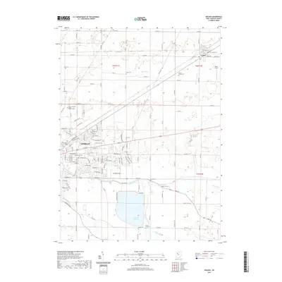 2019 Arcadia2019 Print · USGSHancock County shows a mix of educational growth and traditional rural landscapes in the late 2010s. Researchers can locate numerous family burial sites like Alspach Cem and Hickory Grove Cem or trace the development of the Findlay Reservoir.
 - 2019 Map of Arlington, 2019 Print
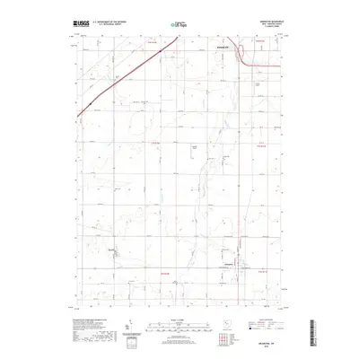 2019 Arlington2019 Print · USGSHancock County in the late twenty-tens remains a landscape of traditional township grids and quiet rural villages. Genealogists can trace family heritage across numerous burial grounds such as Arlington Cemetery, Line Cemetery, and Keller Cemetery.
Showing maps 1-25 of 28
Top cities near Findlay
- Fostoria historical maps
- North Baltimore historical maps
- McComb historical maps
- Arlington historical maps
- Bloomdale historical maps
- Risingsun historical maps
See more
Top neighborhoods of Findlay
- West Park historical maps
- Countryside Drive historical maps
- Crestwood historical maps
- Rush Creek historical maps
- Deer Ridge historical maps
- StoneBridge Estates historical maps
See more
Frequently asked questions
- What are the different types of historical maps available for Findlay?
- What is the oldest map of Findlay?
- Where can I purchase historical maps of Findlay for my home or office?
- Where can I download high-res historical maps of Findlay?
- Are there historical topographic maps available for Findlay?
- Is there historical aerial imagery available for Findlay?
- Where are historical maps of Findlay sourced from?