1990s Maps of Harrison County, Ohio
Explore 13 historic maps of Harrison County from the 1990s. These maps offer a rare glimpse into what life looked like during the 1990s — showing old roads, neighborhoods, homes, and landmarks that have changed or disappeared over time.
Whether you're researching your family's past, planning a metal detecting trip, or studying how Harrison County's landscape evolved across the 1990s, these high-resolution maps are a powerful tool for exploring the history of this region.
- Focus on a specific era: All maps on this page are from the 1990s, giving you a focused view of this time period.
- See what’s changed: Compare century-old streets, trails, and buildings to today's modern landscape using overlays and satellite layers.
- Research with precision: Use these maps for genealogy, historical research, land use analysis, or educational projects.
- View, download, or print: Maps are fully viewable online in high resolution, and can be downloaded or printed for your own records.
Start exploring Harrison County's history through authentic maps from the 1990s. This is your window into the past.
Harrison County, OH maps
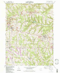
(13)- 1993 Map of Uhrichsville
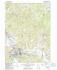 1993 Uhrichsville1993 Print · USGSUhrichsville and Dennison are captured in the early nineties, showing a landscape shaped by the rail and clay industries. Genealogists can trace family sites at Roswell Cem, St Marys Ch, and along the banks of Stillwater Creek.
 - 1993 Map of Tippecanoe
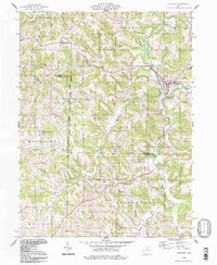
 1993 Tippecanoe1993 Print · USGSHarrison and Tuscarawas counties appear in the early nineties as a landscape of winding creek valleys and coal-country history. Researchers can trace family sites like Mays School and Rush Cem or follow the path of an old railroad grade through Stillwater.
 - 1994 Map of Deersville, 1998 Print
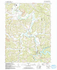
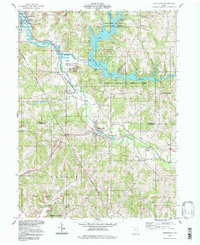
 1994 Deersville1998 Print · USGSHarrison County's lake country is captured here in the 1990s, where the high ridges of Deersville overlook the massive Muskingum Watershed reservoirs. Genealogists can locate family sites near Mount Hope Ch, Deersville Cem, and the old settlement of Minksville.
 - 1994 Map of Tippecanoe, 1998 Print
 1994 Tippecanoe1998 Print · USGSThe borderlands of Tuscarawas and Harrison Counties come into focus in the 1990s as a landscape of managed watersheds and coal heritage. Trace old family connections at Dutch Valley Cem, Rush Church, or along the Old Railroad Grade.
 - 1994 Map of Bowerston, 1998 Print
 1994 Bowerston1998 Print · USGSThe rural border of Carroll and Harrison counties in the 1990s reflects a landscape shaped by water management and mineral wealth. Genealogists can locate family landmarks like Heller Cem, the Plum Run Ch, and the winding shores of Leesville Lake.
 - 1994 Map of Piedmont, 1998 Print
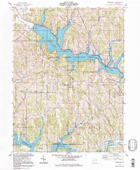
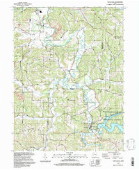
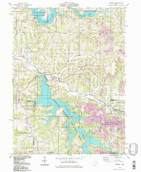 1994 Piedmont1998 Print · USGSEastern Ohio’s lake-filled landscapes and mining history are recorded here in the 1990s as reclamation efforts transformed the terrain. Genealogists can trace family sites at Belmont Ridge Cem or Quaker Cem and explore settlements like Piedmont and Holloway.
 - 1994 Map of Flushing, 1998 Print
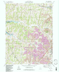
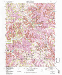 1994 Flushing1998 Print · USGSEastern Ohio's coal country in the 1990s shows a terrain defined by industrial extraction and small rural settlements. Researchers can trace the extensive Strip Mines surrounding Flushing or locate historic local landmarks like Rankin Ch and Nottingham Ch.
 - 1994 Map of Scio, 1998 Print
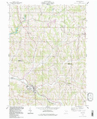 1994 Scio1998 Print · USGSHarrison and Carroll counties in the 1990s show a rugged landscape of ridges, small settlements, and commemorative history. Genealogists can locate family sites at Grandview Cem and Fairview Cem or explore the birthplace of George Custer at New Rumley.
 - 1994 Map of Richmond, 1998 Print
 1994 Richmond1998 Print · USGSJefferson County during the mid-nineties shows a landscape where coal extraction and recreation coexist among the ridges of eastern Ohio. Researchers can locate family landmarks like Montgomery Cem, the Springfield Sch, and the grounds of St John Vianney Seminary.
 - 1994 Map of Jewett, 1998 Print
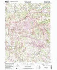
 1994 Jewett1998 Print · USGSHarrison County in the late twentieth century reveals a landscape defined by coal production and large-scale water management. Researchers can locate family landmarks such as Hines Cem, Asbury Chapel, and the historic County Home near Cadiz.
 - 1994 Map of Uhrichsville, 1998 Print
 1994 Uhrichsville1998 Print · USGSThe twin cities of Uhrichsville and Dennison anchor this 1990s study of the Tuscarawas County coal and clay country. Trace the footprints of local industry and faith at the Roanoke Kilns, the Strip Mine, and St Elizabeth Ch.
 - 1994 Map of Freeport, 1998 Print
 1994 Freeport1998 Print · USGSThe hill country where Harrison and Guernsey Counties meet is captured here in the 1990s, centered on the historic village of Freeport. Genealogists can trace family landmarks like the Scotch Covenanter Cem, Chestnut Hill Ch, and Londonderry Sch.
 - 1997 Map of Smithfield, 2000 Print
 1997 Smithfield2000 Print · USGSJefferson County, Ohio, was shaped by both the railroad and the coal industry in the late twentieth century. Genealogists and researchers can trace family landmarks like Mt Moriah Ch, Pine Run Cem, and the rail station at Weems (Smithfield Sta).
End of results
Showing maps 1-13 of 13
Top cities of Harrison County
- Cadiz historical maps
- Hopedale historical maps
- Jewett historical maps
- Scio historical maps
- Bowerston historical maps
- Moorefield historical maps
See more
Frequently asked questions
- What are the different types of historical maps available for Harrison County?
- What is the oldest map of Harrison County?
- Where can I purchase historical maps of Harrison County for my home or office?
- Where can I download high-res historical maps of Harrison County?
- Are there historical topographic maps available for Harrison County?
- Is there historical aerial imagery available for Harrison County?
- Where are historical maps of Harrison County sourced from?