Old Maps of Napoleon, Ohio for Academic Research
Study the evolution of Napoleon with 22 high-resolution historic maps. Whether you're teaching, researching, or modeling changes in land use, these maps provide essential visual documentation of urban, environmental, and geographic change.
- Analyze long-term change: Track patterns in development, transportation, and natural features.
- Ideal for environmental or urban studies: Support academic projects with primary historical map data.
- Use in the classroom or lab: Educators and researchers rely on these maps to bring historical context to life.
These maps are a powerful tool for teaching, research, and visualizing how Napoleon has changed over the decades.
Napoleon, OH maps
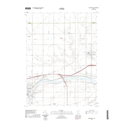
(22)- 1908 Map of Napoleon, 1942 Print
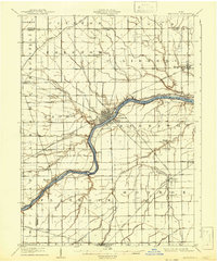 1908 Napoleon1942 Print · USGSNorthwest Ohio was a hub of steam and water transit at the turn of the century, with the Maumee River anchoring the region. Genealogists and rail historians can trace the paths of five different railroads and the historic Miami and Erie Canal through towns like Napoleon and Malinta.2 unique versions available
 - 1953 Map of Fort Wayne, 1963 Print
 1953 Fort Wayne1963 Print · USGSNortheast Indiana and its neighboring borderlands in Michigan and Ohio appear here during a peak era of rail and road expansion. Researchers can trace the massive rail networks of the Nickel Plate Road and Wabash or locate lakeside landmarks like Lake Wawasee and Clear Lake.4 unique versions available
 - 1956 Map of Fort Wayne
 1956 Fort Wayne1956 Print · USGSThe tri-state borderlands of Indiana, Michigan, and Ohio are captured here in the mid-fifties, centered on the growing industrial hub of Fort Wayne. Researchers can trace the heavy rail lines of the New York Central and Pennsylvania alongside prominent water features like Lake Wawasee and the Maumee River.2 unique versions available
 - 1959 Map of Florida, 1961 Print
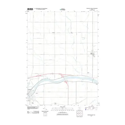
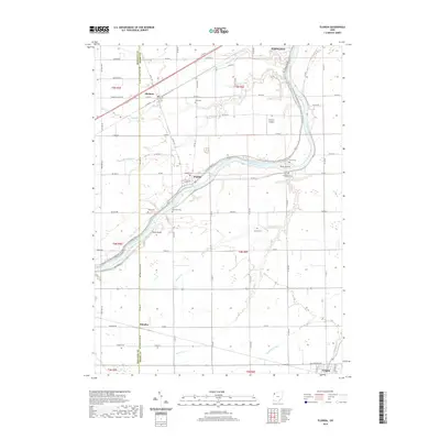
 1959 Florida1961 Print · USGSHenry County farmland meets the river in the late 1950s as the regional rail network and old canal paths still define the landscape. Genealogists can locate family landmarks such as Bethlehem Ch, Okolona, and the Miami and Erie Canal.3 unique versions available
 - 1959 Map of Napoleon West, 1961 Print
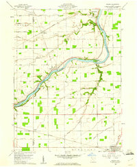
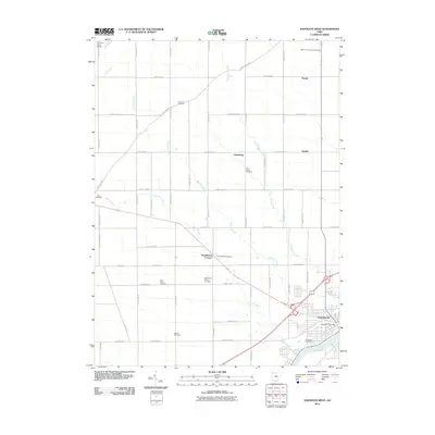
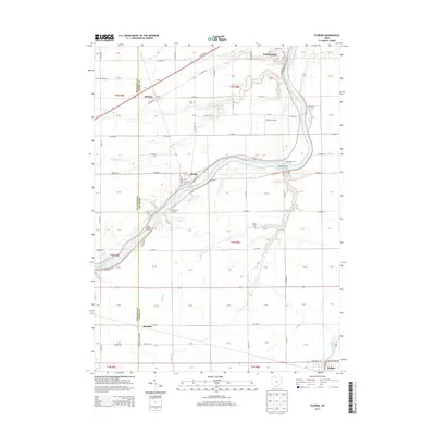
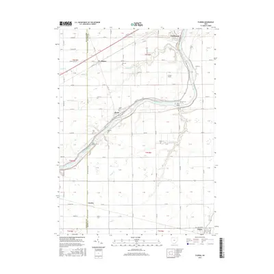
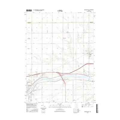
 1959 Napoleon West1961 Print · USGSHenry County is captured in a moment of post-war growth when rural townships and the riverside city of NAPOLEON were connected by rail and river. Genealogists can locate family-named landmarks like Bremer Cem and trace old routes such as the Ironton and Toledo Detroit.2 unique versions available
 - 1960 Map of Napoleon East, 1961 Print
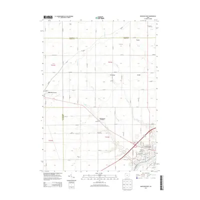
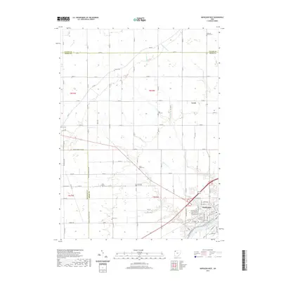
 1960 Napoleon East1961 Print · USGSHenry County in the early sixties shows a landscape shaped by the river and the rail, as the towns of Napoleon and Liberty Center anchored this farming region. Genealogists can locate family sites at Forest Hill Cemetery, Liberty Chapel, and along the old route of the Miami and Erie Canal.3 unique versions available
 - 1986 Map of Defiance, 1992 Print
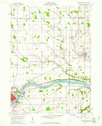
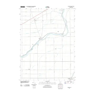
 1986 Defiance1992 Print · USGSNorthwest Ohio and Eastern Indiana appear in the late eighties as a landscape shaped by significant river confluences and rail corridors. Researchers can trace the layout of local towns and landmarks like Defiance College, Forest Hill Cem, and the path of the Norfolk and Western RR.
 - 2010 Map of Napoleon West, 2010 Print
 2010 Napoleon West2010 Print · USGSCovers Napoleon, including Lueneburg, Napoleon Township, and other nearby areas
 - 2010 Map of Napoleon East, 2010 Print
 2010 Napoleon East2010 Print · USGSCovers Napoleon, including Liberty Center, Ratsville, and other nearby areas
 - 2010 Map of Florida, 2010 Print
 2010 Florida2010 Print · USGSCovers Napoleon, including Holgate, Florida, and other nearby areas
 - 2013 Map of Napoleon West, 2013 Print
 2013 Napoleon West2013 Print · USGSCovers Napoleon, including Lueneburg, Napoleon Township, and other nearby areas
 - 2013 Map of Florida, 2013 Print
 2013 Florida2013 Print · USGSCovers Napoleon, including Holgate, Florida, and other nearby areas
 - 2013 Map of Napoleon East, 2013 Print
 2013 Napoleon East2013 Print · USGSCovers Napoleon, including Liberty Center, Ratsville, and other nearby areas
 - 2016 Map of Florida, 2016 Print
 2016 Florida2016 Print · USGSCovers Napoleon, including Holgate, Florida, and other nearby areas
 - 2016 Map of Napoleon West, 2016 Print
 2016 Napoleon West2016 Print · USGSCovers Napoleon, including Lueneburg, Napoleon Township, and other nearby areas
 - 2016 Map of Napoleon East, 2016 Print
 2016 Napoleon East2016 Print · USGSCovers Napoleon, including Liberty Center, Ratsville, and other nearby areas
 - 2019 Map of Napoleon West, 2019 Print
 2019 Napoleon West2019 Print · USGSCovers Napoleon, including Lueneburg, Napoleon Township, and other nearby areas
 - 2019 Map of Napoleon East, 2019 Print
 2019 Napoleon East2019 Print · USGSCovers Napoleon, including Liberty Center, Ratsville, and other nearby areas
 - 2019 Map of Florida, 2019 Print
 2019 Florida2019 Print · USGSCovers Napoleon, including Holgate, Florida, and other nearby areas
 - 2023 Map of Napoleon West, 2023 Print
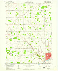
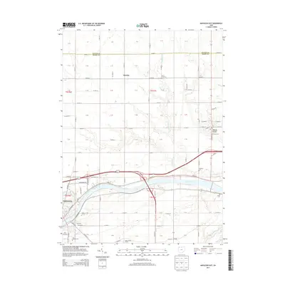
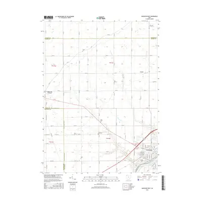
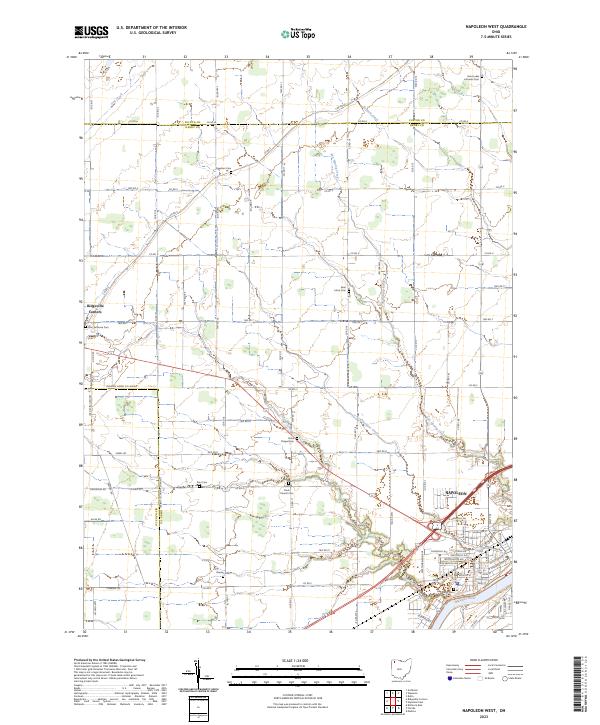 2023 Napoleon West2023 Print · USGSHenry County is showcased in this modern survey of the agricultural heartland near the Maumee River. Genealogists can trace family roots through numerous rural landmarks like Zion Lutheran Cem, Union Chapel Cem, and the village of Ridgeville Corners.
 - 2023 Map of Florida, 2023 Print
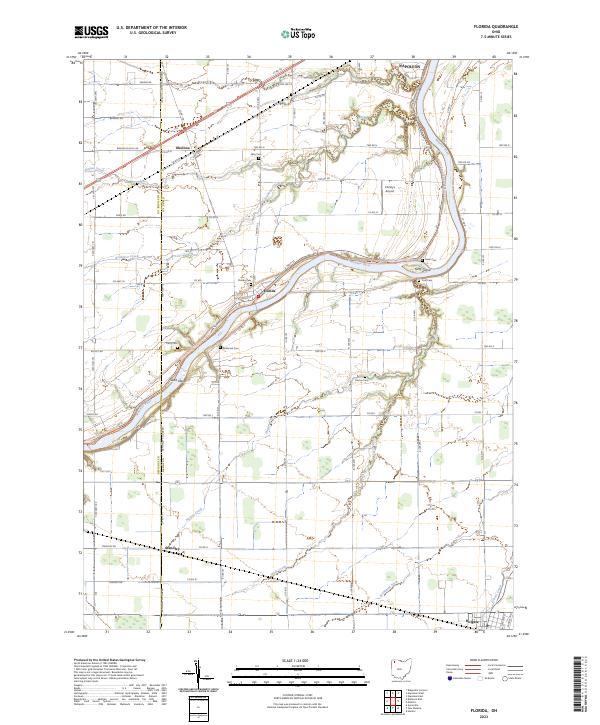 2023 Florida2023 Print · USGSThe riverfront communities and agricultural townships of Henry County are documented here in the early twenty-first century. Family historians can trace ancestral roots through numerous local burial grounds like Florida Cem, Brey Cem, and Parry Cem.
 - 2023 Map of Napoleon East, 2023 Print
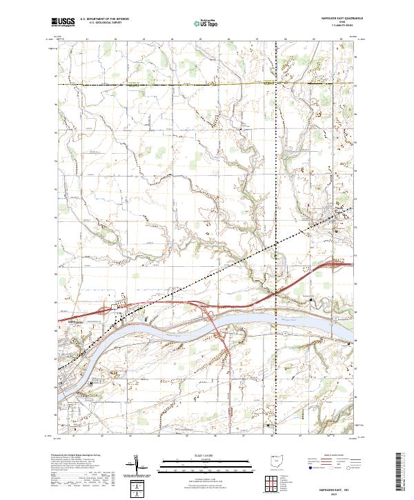 2023 Napoleon East2023 Print · USGSHenry County and the Maumee River valley are shown in contemporary detail as the landscape balances its agricultural roots with modern development. Researchers can trace family sites at Damascus Cem and Young Cem or follow the path of North Turkeyfoot Creek through Liberty Center.
End of results
Showing maps 1-22 of 22
Top cities near Napoleon
- Defiance historical maps
- Wauseon historical maps
- Archbold historical maps
- Swanton historical maps
- Delta historical maps
- Deshler historical maps
See more
Frequently asked questions
- What are the different types of historical maps available for Napoleon?
- What is the oldest map of Napoleon?
- Where can I purchase historical maps of Napoleon for my home or office?
- Where can I download high-res historical maps of Napoleon?
- Are there historical topographic maps available for Napoleon?
- Is there historical aerial imagery available for Napoleon?
- Where are historical maps of Napoleon sourced from?