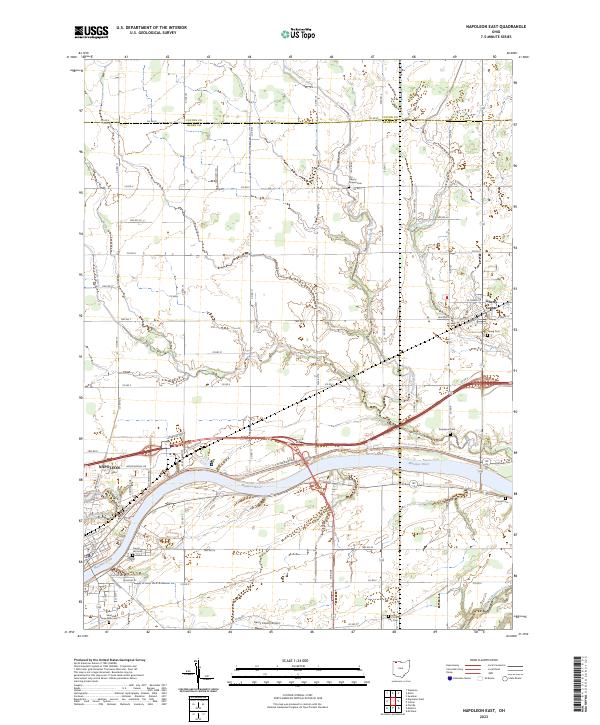
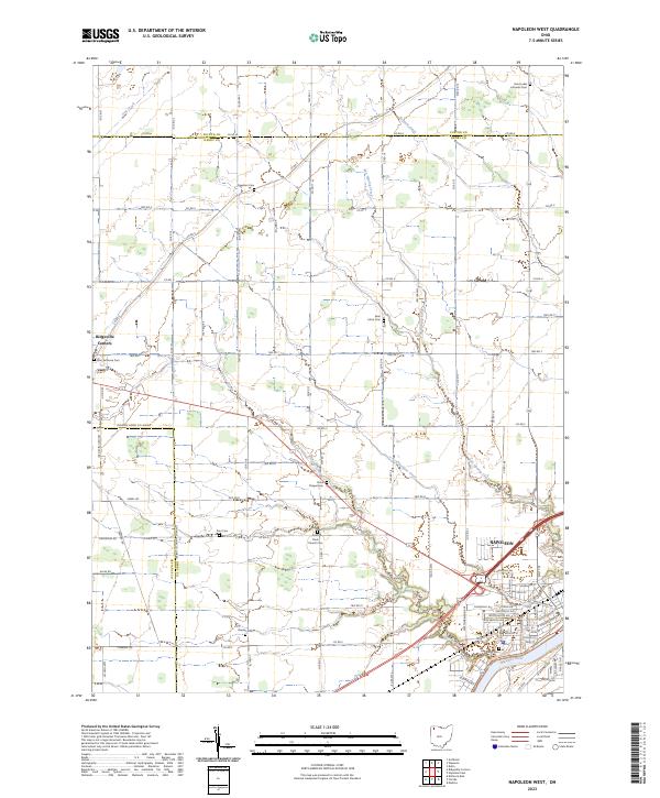
2023 Map of Napoleon East
USGS Topo · Published 2023About this map
The Maumee River corridor dominates this section of Henry County, following a historic path through the village of Napoleon and eastward toward Liberty Center. The river valley acts as a central artery for transportation and recreation, now hosting the North Country National Scenic Trail as it parallels Riverview Ave. The landscape transitions from the urban street grid of eastern Napoleon, including sites like Saint Augustine Cem and Hill Cem, into an expansive agricultural plain defined by a meticulous grid of county roads and drainage ditches like Konzen Ditch. Local history is preserved in small rural burial grounds such as Liberty Chapel Cem and Kruger Cem, while modern infrastructure is represented by the Henry County Airport located south of the river.
Find a feature on this map
45 named features on this map. Tap any name to fly to it.
Don’t see what you’re looking for? This feature index may not catch every label — zoom into the map to look around manually.
Map Details
Editions of this 2023 Napoleon East Map
This is the sole edition of this map. No revisions or reprints were ever made.
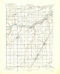
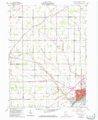
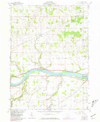
Historical Maps of Napoleon Through Time
8 maps found
Featured Locations
- Napoleon Township, OH
- Freedom Township, OH
- Harrison Township, OH
- Napoleon, OH
- Liberty Center, Liberty Township