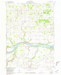
1960 Map of Colton
USGS Topo · Published 1981About this map
The Maumee River defines the landscape of this northwest Ohio region, flowing past the riverfront settlement of Texas. During this era of the early 1960s, the Norfolk and Western railway corridor serves as a primary transit link between the small rail-stop at Colton and Neapolis to the east. The map captures a detailed inventory of the area's rural heritage, noting family-named landmarks like Heath-Colton Cem and Mohler-Union Cem, as well as the Damascus Ch and Olive Branch Cem further south. The Maumee State Forest covers a significant portion of the northern terrain, contrasting with the organized agricultural grid of roads such as Bailey Rd and Krohn Rd. Engineering of the river is evident at the Grand Rapids Dam, where Thurston State Park offers recreational access via a Boat Ramp.
Find a feature on this map
54 named features on this map. Tap any name to fly to it.
Don’t see what you’re looking for? This feature index may not catch every label — zoom into the map to look around manually.
Map Details
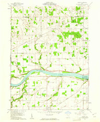
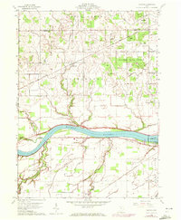
Editions of this 1960 Colton Map
3 editions found
Other maps of this area

1908 · Napoleon
USGS Topo · 1:62,500

1909 · Mc Clure
USGS Topo · 1:62,500

1911 · Wauseon
USGS Topo · 1:62,500

1911 · Swanton
USGS Topo · 1:62,500

1913 · Wauseon
USGS Topo · 1:62,500

1914 · Swanton
USGS Topo · 1:62,500

1935 · Grand Rapids
USGS Topo · 1:24,000

1935 · Whitehouse
USGS Topo · 1:24,000
1940 · Whitehouse
USGS Topo · 1:31,680

1940 · Grand Rapids
USGS Topo · 1:31,680