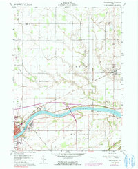
1960 Map of Napoleon East
USGS Topo · Published 1991About this map
The Maumee River corridor serves as the primary artery for transport and settlement in this Northwest Ohio landscape, which includes the eastern extent of Napoleon and the village of Liberty Center. The physical legacy of early 19th-century infrastructure is visible in the Miami and Erie Canal (Abandoned), which parallels the river alongside the Norfolk and Western tracks. These overlapping layers of transport—the canal, the railroad, and the later highways—demonstrate the evolution of the regional economy from water-based freight to rail and road.
Find a feature on this map
32 named features on this map. Tap any name to fly to it.
Don’t see what you’re looking for? This feature index may not catch every label — zoom into the map to look around manually.
Map Details
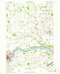
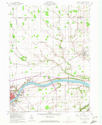
Editions of this 1960 Napoleon East Map
Other maps of this area

1908 · Napoleon
USGS Topo · 1:62,500

1909 · Mc Clure
USGS Topo · 1:62,500

1911 · Wauseon
USGS Topo · 1:62,500

1911 · Swanton
USGS Topo · 1:62,500

1913 · Wauseon
USGS Topo · 1:62,500

1914 · Swanton
USGS Topo · 1:62,500

1943 · Wauseon
USGS Topo · 1:62,500

1953 · Fort Wayne
USGS Topo · 1:250,000

1956 · Fort Wayne
USGS Topo · 1:250,000

1956 · Toledo
USGS Topo · 1:250,000