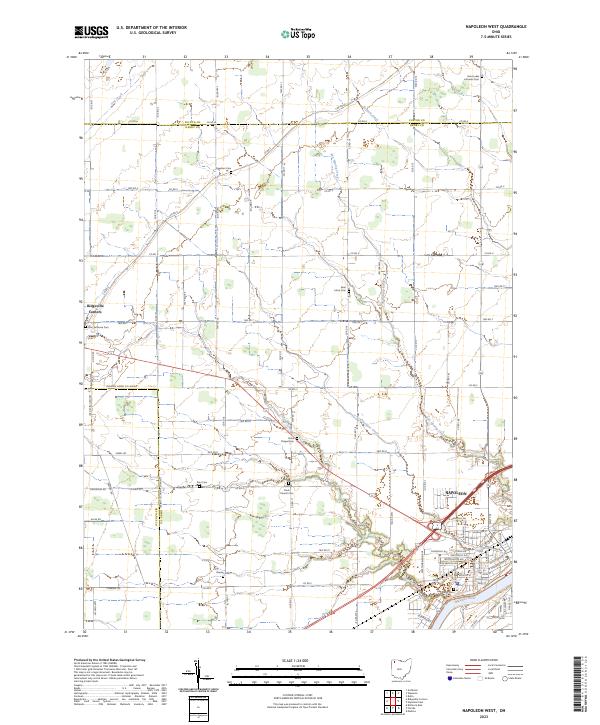
2023 Map of Napoleon West
USGS Topo · Published 2023About this map
The Maumee River corridor and the city of Napoleon anchor the southeastern corner of this Henry County landscape, where the flat agricultural plains of Northwest Ohio are defined by a meticulous grid of township and county roads. The region's Lutheran heritage and early settlement patterns are visible through a high density of rural burial grounds, including Saint Lukes Lutheran Cem, Zion Lutheran Cem, and Saint Johns Cem. These sites, along with smaller family or community plots like Freedom Cem and Bremer Cem, serve as primary markers for genealogists tracing 19th-century pioneer families.
Find a feature on this map
91 named features on this map. Tap any name to fly to it.
Don’t see what you’re looking for? This feature index may not catch every label — zoom into the map to look around manually.
Map Details
Editions of this 2023 Napoleon West Map
This is the sole edition of this map. No revisions or reprints were ever made.
Other maps of this area

1907 · Defiance
USGS Topo · 1:62,500

1908 · Napoleon
USGS Topo · 1:62,500

1909 · Defiance
USGS Topo · 1:62,500

1911 · Wauseon
USGS Topo · 1:62,500

1913 · Wauseon
USGS Topo · 1:62,500

1913 · Alvordton
USGS Topo · 1:62,500

1943 · Wauseon
USGS Topo · 1:62,500

1944 · Alvordton
USGS Topo · 1:62,500

1953 · Fort Wayne
USGS Topo · 1:250,000

1956 · Fort Wayne
USGS Topo · 1:250,000