Old Maps of Greenfield, Ohio for Metal Detecting
Plan your next treasure hunt with 19 historic maps of Greenfield. Find old homesites, ghost towns, trails, and gathering spots that may be lost to time — perfect for identifying promising metal detecting locations.
- Locate forgotten sites: Uncover places like long-lost settlements, abandoned rail lines, or gathering spots.
- Plan better hunts: Use map overlays combined with LiDAR or satellite views to narrow in on historically rich areas.
- Made for detectorists: Thousands of hobbyists use these maps to discover relics, coins, and hidden history.
Use these historic maps to boost your research and find new opportunities beneath the surface of Greenfield.
Greenfield, OH maps
(19)- 1917 Map of Greenfield, 1937 Print
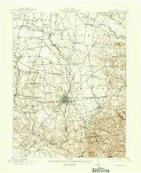 1917 Greenfield1937 Print · USGSSouthern Ohio at the start of the Great War was a network of rail-side towns and rural school districts. Genealogists can trace family roots through numerous local landmarks like Rock Mills, South Salem, and dozens of named schoolhouses such as Sunshine School.2 unique versions available
 - 1944 Map of Greenfield
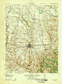 1944 Greenfield1944 Print · USGSMid-century Highland and Ross Counties center on the rail crossroads of Greenfield during the final years of the war. Genealogists can trace rural family life through dozens of named schoolhouses like Pikes Peak Sch and early settlements such as South Salem or Good Hope.
 - 1947 Map of Columbus, 1948 Print
 1947 Columbus1948 Print · USGSCentral Ohio in the late 1940s is captured in this survey, showing the post-war transition of its rail hubs and military airfield expansions. Genealogists and historians can trace the paths of the Ohio Canal, the Pennsylvania RR lines, and the Camp Sherman Military Reservation.
 - 1960 Map of Greenfield, 1962 Print
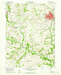 1960 Greenfield1962 Print · USGSThe industrial and rail crossroads of GREENFIELD are captured here in the early 1960s at the junction of two major rail lines. Genealogists can trace family roots through numerous rural sites like Rocky Spring Cem, New Petersburg, and McClain High Sch.3 unique versions available
 - 1961 Map of Columbus
 1961 Columbus1961 Print · USGSCentral and Southern Ohio are captured here in the early sixties, as the region's industrial rail hubs and military bases reached their peak. Genealogists and historians can trace the transition from urban Columbus to rural townships along the Scioto River, locating Lockbourne USAF and old junctions like Washington Court House.
 - 1961 Map of South Salem, 1963 Print
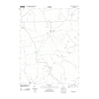
 1961 South Salem1963 Print · USGSWestern Ross County in the early 1960s was a landscape of deep valleys and vital rail connections. Genealogists and local historians can trace the paths of the Baltimore and Ohio Railroad and locate ancestral sites like Old Stone Cem or Sunnyside Ch.3 unique versions available
 - 1962 Map of Columbus
 1962 Columbus1962 Print · USGSCentral Ohio during the early sixties reveals a transition from the industrial corridors of Columbus to the forested ridges of the south. Genealogists and historians can trace the rail networks of the Baltimore & Ohio RR and find local landmarks like Washington Court House and Camp Sherman Military Reservation.
 - 1967 Map of Columbus, 1969 Print
 1967 Columbus1969 Print · USGSCentral Ohio during the late sixties serves as a vital corridor of rail and aviation, from the industrial streets of Springfield to the hangar lines of Lockbourne Air Force Base. Genealogists and researchers can trace the growth of towns like Circleville and London or locate rural landmarks such as St Paul church and the London Correctional Institution.2 unique versions available
 - 1986 Map of Hillsboro
 1986 Hillsboro1986 Print · USGSThe rural landscapes of Highland and Clinton counties appear in the mid-eighties as a busy corridor of railroads and regional airports. Genealogists and historians can trace old community centers like Reesville and Starbucktown alongside significant landmarks like Wilmington College and Fort Hill State Memorial.2 unique versions available
 - 2010 Map of South Salem, 2010 Print
 2010 South Salem2010 Print · USGSCovers Greenfield, including South Salem, Humboldt, and other nearby areas
 - 2010 Map of Greenfield, 2010 Print
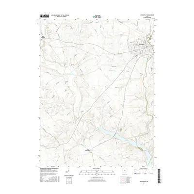
 2010 Greenfield2010 Print · USGSCovers Greenfield, including New Petersburg, East Monroe, and other nearby areas
 - 2013 Map of Greenfield, 2013 Print
 2013 Greenfield2013 Print · USGSCovers Greenfield, including New Petersburg, East Monroe, and other nearby areas
 - 2013 Map of South Salem, 2013 Print
 2013 South Salem2013 Print · USGSCovers Greenfield, including South Salem, Humboldt, and other nearby areas
 - 2016 Map of Greenfield, 2016 Print
 2016 Greenfield2016 Print · USGSCovers Greenfield, including New Petersburg, East Monroe, and other nearby areas
 - 2016 Map of South Salem, 2016 Print
 2016 South Salem2016 Print · USGSCovers Greenfield, including South Salem, Humboldt, and other nearby areas
 - 2019 Map of South Salem, 2019 Print
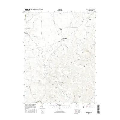
 2019 South Salem2019 Print · USGSCovers Greenfield, including South Salem, Humboldt, and other nearby areas
 - 2019 Map of Greenfield, 2019 Print
 2019 Greenfield2019 Print · USGSCovers Greenfield, including New Petersburg, East Monroe, and other nearby areas
 - 2023 Map of South Salem, 2023 Print
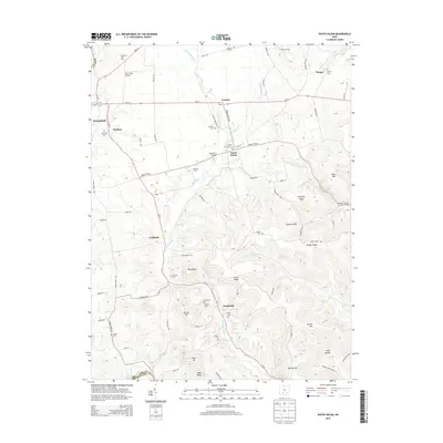
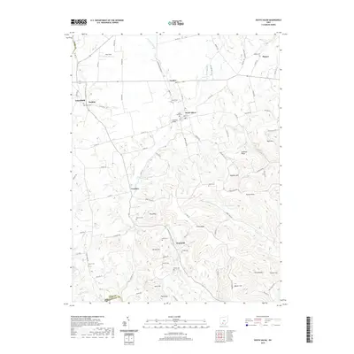
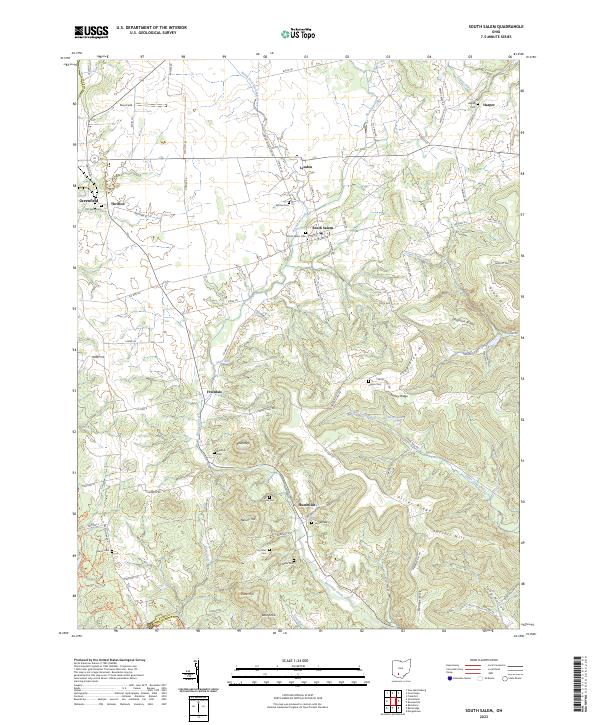 2023 South Salem2023 Print · USGSRoss and Highland Counties are captured here in a period of modern rural continuity, centered on the village of South Salem. Genealogists can locate numerous small burial sites like Old Stone Cem and Nuckols Cem or trace family lands near Fruitdale and Lyndon.
 - 2023 Map of Greenfield, 2023 Print
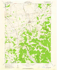
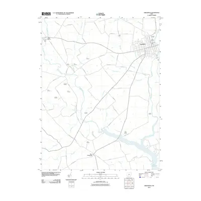
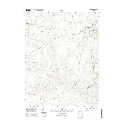
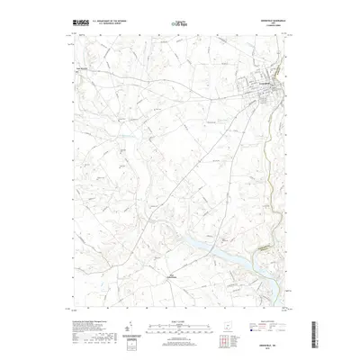
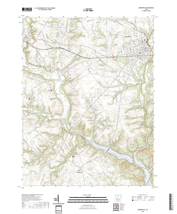 2023 Greenfield2023 Print · USGSGreenfield and the surrounding Highland County farmland are mapped here in the early twenty-first century as they border the shores of Paint Creek Lake. Researchers can locate numerous local burial sites like Saint Josephs Cem and Rocky Spring Cem or trace the routes of Rattlesnake Creek.
End of results
Showing maps 1-19 of 19
Top cities near Greenfield
- Washington Court House historical maps
- Hillsboro historical maps
- Leesburg historical maps
- Bainbridge historical maps
- Marshall historical maps
- Frankfort historical maps
See more
Frequently asked questions
- What are the different types of historical maps available for Greenfield?
- What is the oldest map of Greenfield?
- Where can I purchase historical maps of Greenfield for my home or office?
- Where can I download high-res historical maps of Greenfield?
- Are there historical topographic maps available for Greenfield?
- Is there historical aerial imagery available for Greenfield?
- Where are historical maps of Greenfield sourced from?