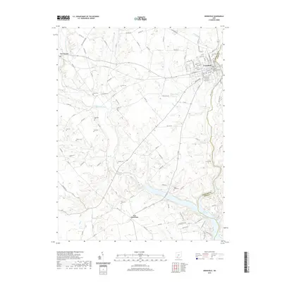
2019 Map of Greenfield
USGS Topo · Published 2019About this map
Greenfield serves as the primary hub in this portion of Southern Ohio, situated along the border of Highland and Ross Counties. The town's historic core is anchored by the Highland County Greenfield Courthouse, surrounded by a grid of named streets such as Jefferson St and McClain Ave. A short distance southwest, the landscape transitions into agricultural land and small settlements like New Petersburg and East Monroe.
Find a feature on this map
104 named features on this map. Tap any name to fly to it.
Don’t see what you’re looking for? This feature index may not catch every label — zoom into the map to look around manually.
Map Details
Editions of this 2019 Greenfield Map
This is the sole edition of this map. No revisions or reprints were ever made.
Other maps of this area

1915 · Bainbridge
USGS Topo · 1:48,000

1917 · Bainbridge
USGS Topo · 1:62,500

1917 · Greenfield
USGS Topo · 1:62,500

1917 · Hillsboro
USGS Topo · 1:62,500

1917 · Sabina
USGS Topo · 1:62,500

1943 · Sabina
USGS Topo · 1:62,500

1944 · Hillsboro
USGS Topo · 1:62,500

1944 · Greenfield
USGS Topo · 1:62,500

1947 · Columbus
USGS Topo · 1:250,000

1960 · Greenfield
USGS Topo · 1:24,000