Old Maps of Fairfield Township, Ohio for Academic Research
Study the evolution of Fairfield Township with 29 high-resolution historic maps. Whether you're teaching, researching, or modeling changes in land use, these maps provide essential visual documentation of urban, environmental, and geographic change.
- Analyze long-term change: Track patterns in development, transportation, and natural features.
- Ideal for environmental or urban studies: Support academic projects with primary historical map data.
- Use in the classroom or lab: Educators and researchers rely on these maps to bring historical context to life.
These maps are a powerful tool for teaching, research, and visualizing how Fairfield Township has changed over the decades.
Fairfield Township, OH maps
(29)- 1915 Map of Norwalk, 1936 Print
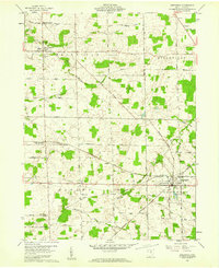
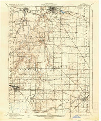 1915 Norwalk1936 Print · USGSHuron County at the peak of the steam and electric rail era shows a landscape defined by busy junction towns and rural school districts. Genealogists can trace family footprints across dozens of local districts like Egypt School or within the neighborhoods of Chicago Junction and Norwalk.2 unique versions available
 - 1944 Map of Norwalk
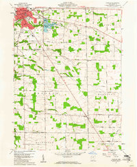
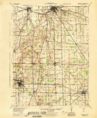 1944 Norwalk1944 Print · USGSHuron County in the mid-1940s is defined by a dense network of steam-era rail lines and small agricultural villages. Genealogists can trace family footprints across dozens of local school districts like Egypt Sch and rural settlements such as Standardsburg and Celeryville.
 - 1956 Map of Toledo, 1968 Print
 1956 Toledo1968 Print · USGSNorthwest Ohio and the Lake Erie shoreline are shown in detail during the late fifties, showcasing a landscape of heavy industry, railroads, and island communities. Genealogists and historians can trace rail networks like the Chesapeake & Ohio RR or locate landmarks such as the Erie Proving Ground and Kelleys Island.4 unique versions available
 - 1960 Map of Willard, 1961 Print
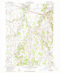
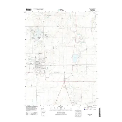
 1960 Willard1961 Print · USGSHuron County's rail and agricultural heartland is documented here during the early sixties, centered on the bustling junction of the Baltimore and Ohio. Researchers can trace family roots at St Josephs Cem, locate the small settlement of Celeryville, or explore the rural crossroads at Guinea Corners.3 unique versions available
 - 1960 Map of Monroeville, 1961 Print
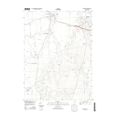
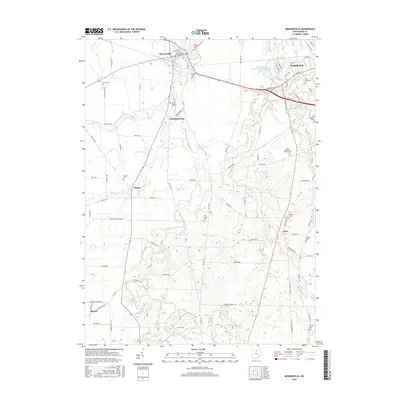
 1960 Monroeville1961 Print · USGSHuron County's rural townships and rail junctions are captured here in the early sixties, showing the agricultural heart of Northern Ohio. Researchers can trace family history through sites like Havana, St Peters Ch, and the BALTIMORE AND OHIO rail corridors.2 unique versions available
 - 1960 Map of Greenwich, 1961 Print
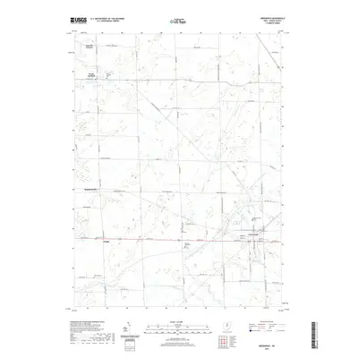
 1960 Greenwich1961 Print · USGSHuron County's rural townships and rail corridors are captured here in the early sixties, showing a landscape defined by the Connecticut Western Reserve. Genealogists can locate family landmarks like Ripley Chapel, the Township Cem, and the rail junction at Greenwich.3 unique versions available
 - 1960 Map of Norwalk, 1961 Print
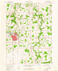
 1960 Norwalk1961 Print · USGSNorwalk and the surrounding townships of the Connecticut Western Reserve are captured here in the early sixties as the city expanded southward into Bronson. Genealogists and researchers can trace the locations of Woodlawn Cemetery, St Marys School, and the rural crossroads of Olena.2 unique versions available
 - 1961 Map of Toledo
 1961 Toledo1961 Print · USGSThe western basin of Lake Erie and the industrial heart of Northern Ohio are captured here during the post-war era. Researchers can trace historical rail lines like the New York Central or locate landmarks like the Erie Ordnance Depot and Pelee Island.
 - 1986 Map of Lorain
 1986 Lorain1986 Print · USGSThe Lake Erie shoreline and North Central Ohio interior are shown in detail during the mid-eighties, from the industrial docks of Lorain to the peninsulas of Sandusky. Researchers can trace historic transport routes like the Baltimore and Ohio Railroad or locate significant landmarks like Oberlin College and Cedar Point.2 unique versions available
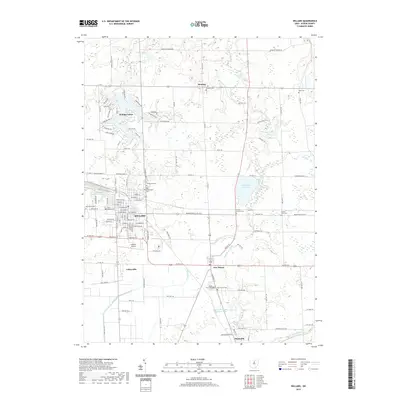
 - 2010 Map of Willard, 2010 Print
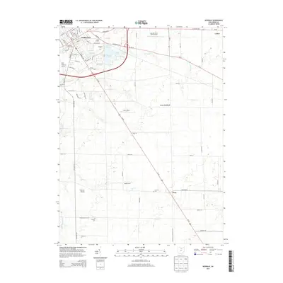
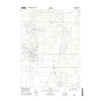
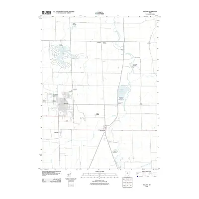 2010 Willard2010 Print · USGSCovers Fairfield Township, including Willard, New Haven, and other nearby areas
 - 2010 Map of Norwalk, 2010 Print
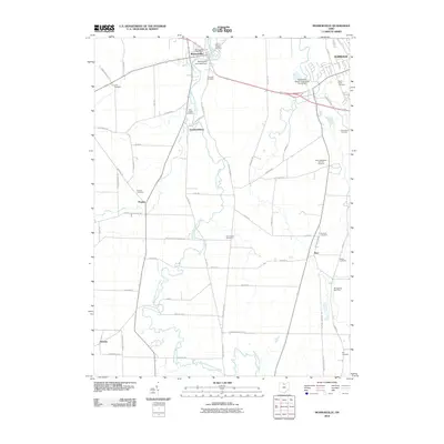
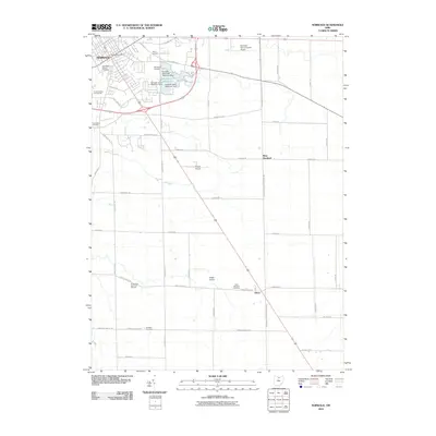 2010 Norwalk2010 Print · USGSCovers Fairfield Township, including Norwalk, Fitchville Township, and other nearby areas
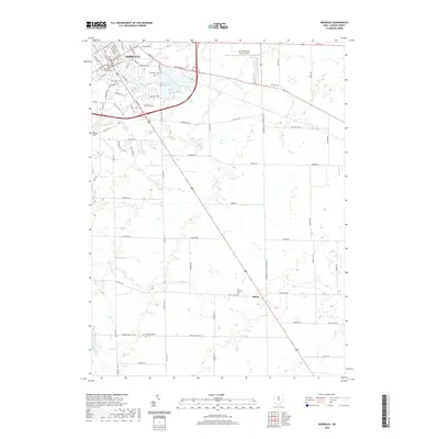
 - 2010 Map of Monroeville, 2010 Print
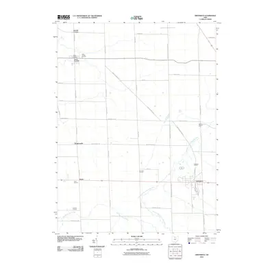
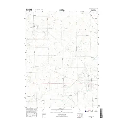
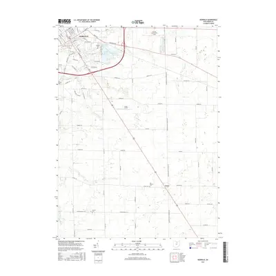
 2010 Monroeville2010 Print · USGSCovers Fairfield Township, including Norwalk, Monroeville, and other nearby areas
 - 2010 Map of Greenwich, 2010 Print
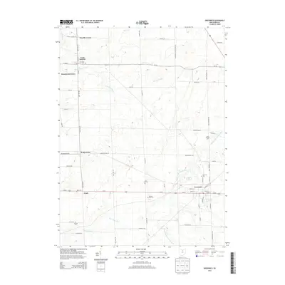
 2010 Greenwich2010 Print · USGSCovers Fairfield Township, including Greenwich, North Fairfield, and other nearby areas
 - 2013 Map of Greenwich, 2013 Print
 2013 Greenwich2013 Print · USGSCovers Fairfield Township, including Greenwich, North Fairfield, and other nearby areas
 - 2013 Map of Norwalk, 2013 Print
 2013 Norwalk2013 Print · USGSCovers Fairfield Township, including Norwalk, Fitchville Township, and other nearby areas
 - 2013 Map of Willard, 2013 Print
 2013 Willard2013 Print · USGSCovers Fairfield Township, including Willard, New Haven, and other nearby areas
 - 2013 Map of Monroeville, 2013 Print
 2013 Monroeville2013 Print · USGSCovers Fairfield Township, including Norwalk, Monroeville, and other nearby areas
 - 2016 Map of Greenwich, 2016 Print
 2016 Greenwich2016 Print · USGSCovers Fairfield Township, including Greenwich, North Fairfield, and other nearby areas
 - 2016 Map of Willard, 2016 Print
 2016 Willard2016 Print · USGSCovers Fairfield Township, including Willard, New Haven, and other nearby areas
 - 2016 Map of Monroeville, 2016 Print
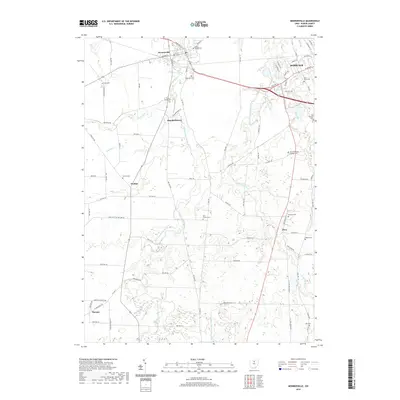
 2016 Monroeville2016 Print · USGSCovers Fairfield Township, including Norwalk, Monroeville, and other nearby areas
 - 2016 Map of Norwalk, 2016 Print
 2016 Norwalk2016 Print · USGSCovers Fairfield Township, including Norwalk, Fitchville Township, and other nearby areas
 - 2019 Map of Greenwich, 2019 Print
 2019 Greenwich2019 Print · USGSCovers Fairfield Township, including Greenwich, North Fairfield, and other nearby areas
 - 2019 Map of Monroeville, 2019 Print
 2019 Monroeville2019 Print · USGSCovers Fairfield Township, including Norwalk, Monroeville, and other nearby areas
 - 2019 Map of Willard, 2019 Print
 2019 Willard2019 Print · USGSCovers Fairfield Township, including Willard, New Haven, and other nearby areas
 - 2019 Map of Norwalk, 2019 Print
 2019 Norwalk2019 Print · USGSCovers Fairfield Township, including Norwalk, Fitchville Township, and other nearby areas
Showing maps 1-25 of 29
Top cities near Fairfield Township
- Norwalk historical maps
- Shelby historical maps
- Willard historical maps
- Bellevue historical maps
- Milan historical maps
- New Haven historical maps
See more
Top neighborhoods of Fairfield Township
Frequently asked questions
- What are the different types of historical maps available for Fairfield Township?
- What is the oldest map of Fairfield Township?
- Where can I purchase historical maps of Fairfield Township for my home or office?
- Where can I download high-res historical maps of Fairfield Township?
- Are there historical topographic maps available for Fairfield Township?
- Is there historical aerial imagery available for Fairfield Township?
- Where are historical maps of Fairfield Township sourced from?