2000s (21st Century) Maps of Greenfield Township, Ohio
Explore 10 historic maps of Greenfield Township from the 2000s (21st Century). These maps offer a rare glimpse into what life looked like during the 2000s — showing old roads, neighborhoods, homes, and landmarks that have changed or disappeared over time.
Whether you're researching your family's past, planning a metal detecting trip, or studying how Greenfield Township's landscape evolved across the 2000s, these high-resolution maps are a powerful tool for exploring the history of this region.
- Focus on a specific era: All maps on this page are from the 2000s, giving you a focused view of this time period.
- See what’s changed: Compare century-old streets, trails, and buildings to today's modern landscape using overlays and satellite layers.
- Research with precision: Use these maps for genealogy, historical research, land use analysis, or educational projects.
- View, download, or print: Maps are fully viewable online in high resolution, and can be downloaded or printed for your own records.
Start exploring Greenfield Township's history through authentic maps from the 2000s. This is your window into the past.
Greenfield Township, OH maps
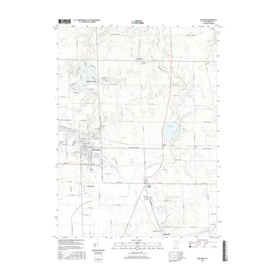
(10)- 2010 Map of Willard, 2010 Print
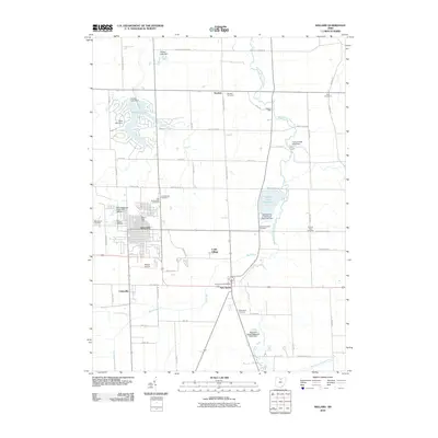 2010 Willard2010 Print · USGSCovers Greenfield Township, including Willard, New Haven, and other nearby areas
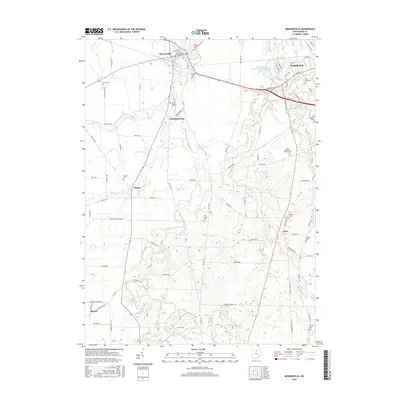
 - 2010 Map of Monroeville, 2010 Print
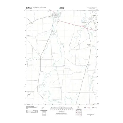 2010 Monroeville2010 Print · USGSCovers Greenfield Township, including Norwalk, Monroeville, and other nearby areas
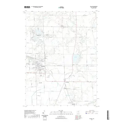
 - 2013 Map of Willard, 2013 Print
 2013 Willard2013 Print · USGSCovers Greenfield Township, including Willard, New Haven, and other nearby areas
 - 2013 Map of Monroeville, 2013 Print
 2013 Monroeville2013 Print · USGSCovers Greenfield Township, including Norwalk, Monroeville, and other nearby areas
 - 2016 Map of Willard, 2016 Print
 2016 Willard2016 Print · USGSCovers Greenfield Township, including Willard, New Haven, and other nearby areas
 - 2016 Map of Monroeville, 2016 Print
 2016 Monroeville2016 Print · USGSCovers Greenfield Township, including Norwalk, Monroeville, and other nearby areas
 - 2019 Map of Monroeville, 2019 Print
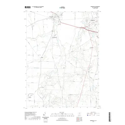 2019 Monroeville2019 Print · USGSCovers Greenfield Township, including Norwalk, Monroeville, and other nearby areas
 - 2019 Map of Willard, 2019 Print
 2019 Willard2019 Print · USGSCovers Greenfield Township, including Willard, New Haven, and other nearby areas
 - 2023 Map of Monroeville, 2023 Print
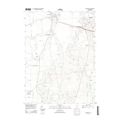
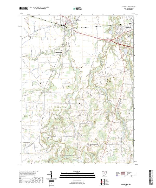 2023 Monroeville2023 Print · USGSHuron County's rural heartland is documented in the modern era, showing the persistent settlement patterns of the Firelands. Researchers can locate numerous family and church burial sites like Pontiac Cem, Hester Cem, and the uniquely named Axe Factory Cem.
 - 2023 Map of Willard, 2023 Print
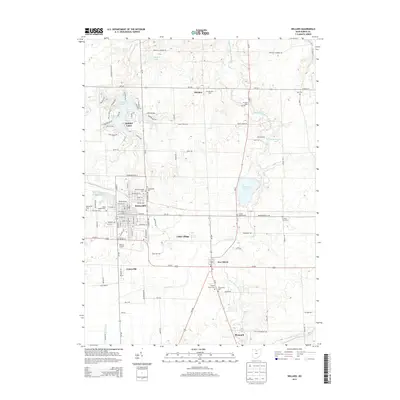
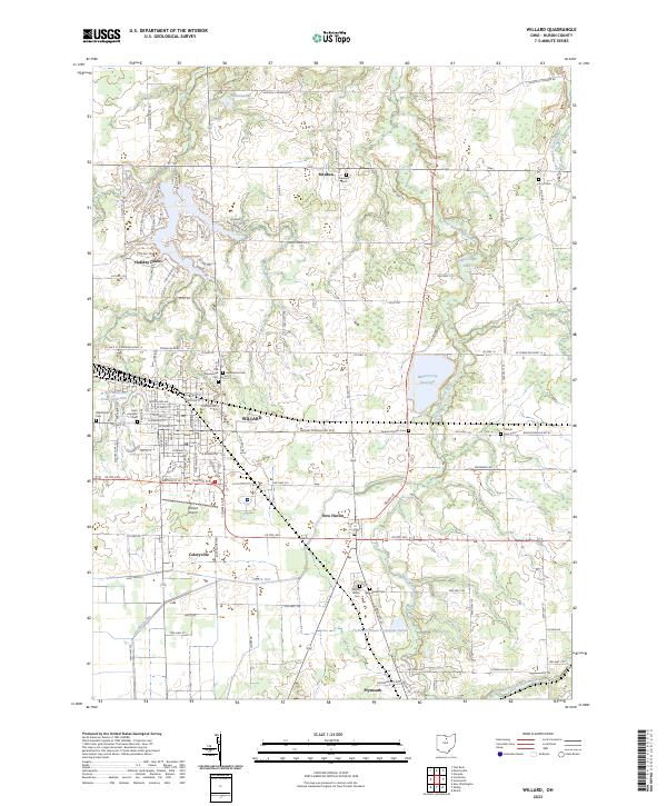 2023 Willard2023 Print · USGSHuron County's agricultural and rail heartland is captured here, centered on the hub of Willard and the surrounding muck farms. Genealogists can trace family lines through several rural burial grounds, including Old Greenwood Cem and Fullmer Farm Cem.
End of results
Showing maps 1-10 of 10
Top cities near Greenfield Township
- Norwalk historical maps
- Shelby historical maps
- Willard historical maps
- Bellevue historical maps
- Milan historical maps
- New Haven historical maps
See more
Top neighborhoods of Greenfield Township
Frequently asked questions
- What are the different types of historical maps available for Greenfield Township?
- What is the oldest map of Greenfield Township?
- Where can I purchase historical maps of Greenfield Township for my home or office?
- Where can I download high-res historical maps of Greenfield Township?
- Are there historical topographic maps available for Greenfield Township?
- Is there historical aerial imagery available for Greenfield Township?
- Where are historical maps of Greenfield Township sourced from?