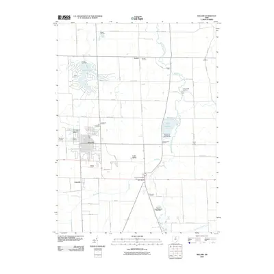
2010 Map of Willard
USGS Topo · Published 2010About this map
Willard serves as the primary hub of this north-central Ohio landscape, where the grid of city streets meets a rural expanse defined by the West Branch Huron River and its numerous tributaries. The geography reflects a blend of early settlement history and modern utility, from the small community of Steuben to the aviation facilities at Willard Airport. Local history is deeply etched into the land through a series of family and community burial grounds, including the Old Greenwood Cemetery and the Fullmer Farm Cemetery.
Find a feature on this map
60 named features on this map. Tap any name to fly to it.
Don’t see what you’re looking for? This feature index may not catch every label — zoom into the map to look around manually.
Map Details
Editions of this 2010 Willard Map
This is the sole edition of this map. No revisions or reprints were ever made.
Other maps of this area

1915 · Norwalk
USGS Topo · 1:62,500

1915 · Siam
USGS Topo · 1:62,500

1915 · Bucyrus
USGS Topo · 1:62,500

1915 · Crestline
USGS Topo · 1:62,500

1943 · Bucyrus
USGS Topo · 1:62,500

1943 · Crestline
USGS Topo · 1:62,500

1944 · Norwalk
USGS Topo · 1:62,500

1950 · Marion
USGS Topo · 1:250,000

1956 · Toledo
USGS Topo · 1:250,000

1960 · Willard
USGS Topo · 1:24,000