Old Maps of New London Township, Ohio for Hiking & Exploration
Hike through history with 28 historic maps of New London Township. Explore old trails, ghost towns, and forgotten backroads — perfect for outdoor adventurers and local explorers.
- Rediscover forgotten places: Map out old mining camps, roads, and footpaths that no longer exist on modern maps.
- Layer with modern tools: Combine with LiDAR or satellite views to plan hikes through historical terrain.
- Made for exploration: Popular among hikers, overlanders, and local history lovers.
Use these maps to find adventure and explore the hidden past of New London Township.
New London Township, OH maps
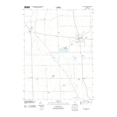
(28)- 1908 Map of New London, 1948 Print
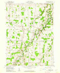
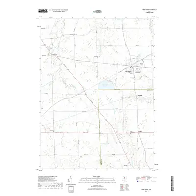
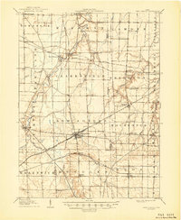 1908 New London1948 Print · USGSNorth-central Ohio at the turn of the century was a landscape of thriving rail junctions and rural school districts. Genealogists can trace family roots through numerous local landmarks like Barlams Store, Todd School, and the busy junction at New London.
 - 1956 Map of Toledo, 1968 Print
 1956 Toledo1968 Print · USGSNorthwest Ohio and the Lake Erie shoreline are shown in detail during the late fifties, showcasing a landscape of heavy industry, railroads, and island communities. Genealogists and historians can trace rail networks like the Chesapeake & Ohio RR or locate landmarks such as the Erie Proving Ground and Kelleys Island.4 unique versions available
 - 1960 Map of New London, 1961 Print
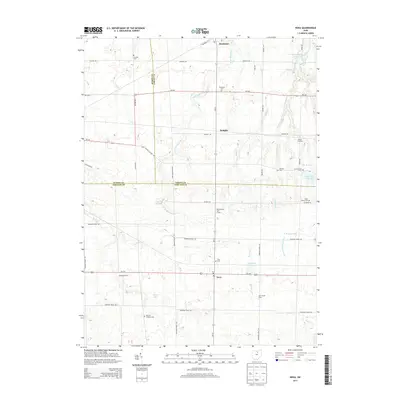
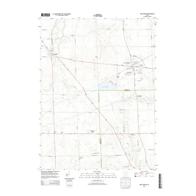
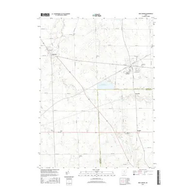
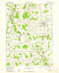 1960 New London1961 Print · USGSNew London and the surrounding farm country are captured here in the early sixties, showing a vital crossroads of major Midwestern rail lines. Local researchers can locate specific burial sites like Day Cem, the old Township Sch, and the path of the Vermilion River.4 unique versions available
 - 1960 Map of Nova, 1961 Print
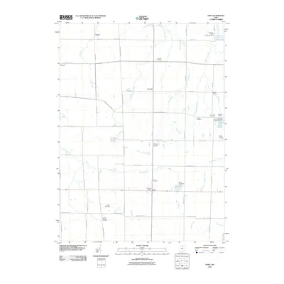
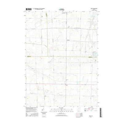
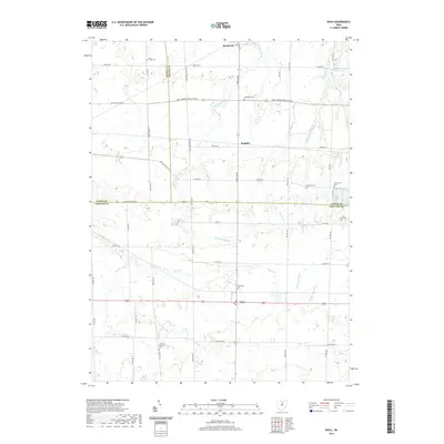
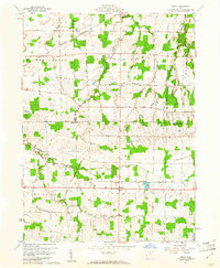 1960 Nova1961 Print · USGSAs the mid-century agricultural landscape of Ashland County remained firmly tied to the rails, the villages of Nova and Rochester thrived. Genealogists can trace family plots at Universalist Cem or Rochester Cem and follow the historic Orphanage Gore boundary.3 unique versions available
 - 1960 Map of Brighton, 1961 Print
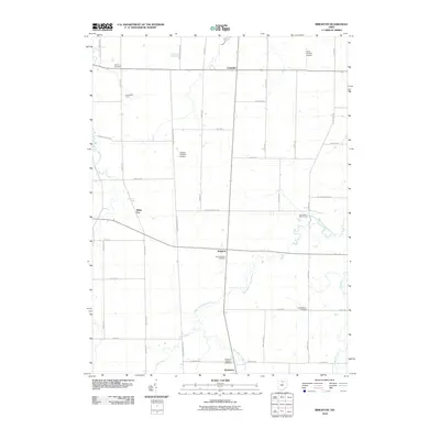
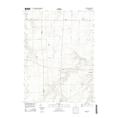
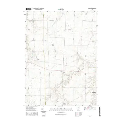
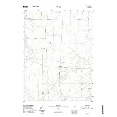
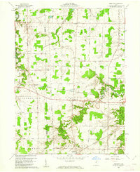 1960 Brighton1961 Print · USGSLorain County farming and rail transport are captured here at the start of the 1960s. Researchers can trace historic family-named routes and rail lines through rural settlements like Brighton, Rochester, and the small crossroads of White Fox.3 unique versions available
 - 1960 Map of Clarksfield, 1962 Print
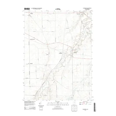
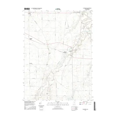
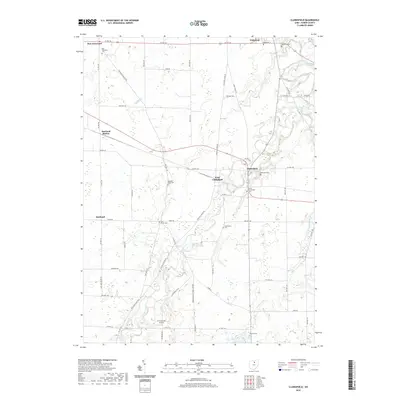
 1960 Clarksfield1962 Print · USGSHuron County's rural townships are captured here in the early sixties, showing a landscape shaped by the Connecticut Western Reserve's unique land divisions. Genealogists and historians can trace the Vermilion River to find Barretts Chapel, Hartland Station, and numerous family burial sites like Phillips Cem.2 unique versions available
 - 1961 Map of Toledo
 1961 Toledo1961 Print · USGSThe western basin of Lake Erie and the industrial heart of Northern Ohio are captured here during the post-war era. Researchers can trace historical rail lines like the New York Central or locate landmarks like the Erie Ordnance Depot and Pelee Island.
 - 1986 Map of Lorain
 1986 Lorain1986 Print · USGSThe Lake Erie shoreline and North Central Ohio interior are shown in detail during the mid-eighties, from the industrial docks of Lorain to the peninsulas of Sandusky. Researchers can trace historic transport routes like the Baltimore and Ohio Railroad or locate significant landmarks like Oberlin College and Cedar Point.2 unique versions available
 - 2010 Map of Clarksfield, 2010 Print
 2010 Clarksfield2010 Print · USGSCovers New London Township, including Clarksfield, Hartland, and other nearby areas
 - 2010 Map of Nova, 2010 Print
 2010 Nova2010 Print · USGSCovers New London Township, including Rochester, Semples, and other nearby areas
 - 2010 Map of Brighton, 2010 Print
 2010 Brighton2010 Print · USGSCovers New London Township, including Wellington, Rochester, and other nearby areas
 - 2010 Map of New London, 2010 Print
 2010 New London2010 Print · USGSCovers New London Township, including New London, Fitchville, and other nearby areas
 - 2013 Map of Nova, 2013 Print
 2013 Nova2013 Print · USGSCovers New London Township, including Rochester, Semples, and other nearby areas
 - 2013 Map of Clarksfield, 2013 Print
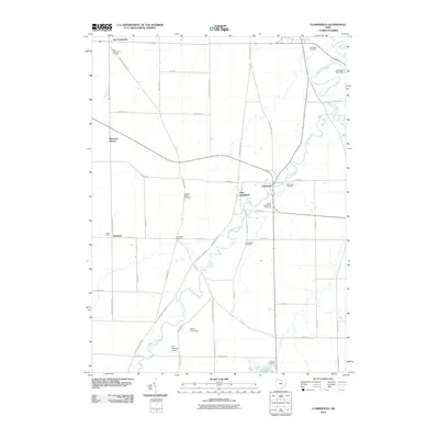
 2013 Clarksfield2013 Print · USGSCovers New London Township, including Clarksfield, Hartland, and other nearby areas
 - 2013 Map of Brighton, 2013 Print
 2013 Brighton2013 Print · USGSCovers New London Township, including Wellington, Rochester, and other nearby areas
 - 2013 Map of New London, 2013 Print
 2013 New London2013 Print · USGSCovers New London Township, including New London, Fitchville, and other nearby areas
 - 2016 Map of New London, 2016 Print
 2016 New London2016 Print · USGSCovers New London Township, including New London, Fitchville, and other nearby areas
 - 2016 Map of Clarksfield, 2016 Print
 2016 Clarksfield2016 Print · USGSCovers New London Township, including Clarksfield, Hartland, and other nearby areas
 - 2016 Map of Nova, 2016 Print
 2016 Nova2016 Print · USGSCovers New London Township, including Rochester, Semples, and other nearby areas
 - 2016 Map of Brighton, 2016 Print
 2016 Brighton2016 Print · USGSCovers New London Township, including Wellington, Rochester, and other nearby areas
 - 2019 Map of Nova, 2019 Print
 2019 Nova2019 Print · USGSCovers New London Township, including Rochester, Semples, and other nearby areas
 - 2019 Map of Clarksfield, 2019 Print
 2019 Clarksfield2019 Print · USGSCovers New London Township, including Clarksfield, Hartland, and other nearby areas
 - 2019 Map of New London, 2019 Print
 2019 New London2019 Print · USGSCovers New London Township, including New London, Fitchville, and other nearby areas
 - 2019 Map of Brighton, 2019 Print
 2019 Brighton2019 Print · USGSCovers New London Township, including Wellington, Rochester, and other nearby areas
 - 2023 Map of New London, 2023 Print
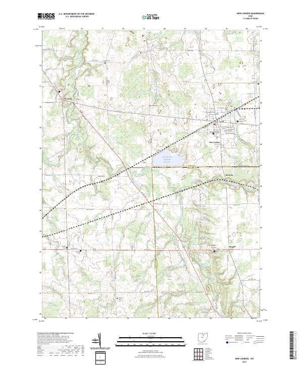 2023 New London2023 Print · USGSThis part of North Central Ohio is shown in the modern era, where traditional rural settlements and river branches converge. Local historians can trace family ties through several grounds including Fitchville Cem, Quaker Cem, and Grove Street Cem.
Showing maps 1-25 of 28
Top cities near New London Township
- Ashland historical maps
- Norwalk historical maps
- Oberlin historical maps
- Wellington historical maps
- Milan historical maps
- New London historical maps
See more
Top neighborhoods of New London Township
Frequently asked questions
- What are the different types of historical maps available for New London Township?
- What is the oldest map of New London Township?
- Where can I purchase historical maps of New London Township for my home or office?
- Where can I download high-res historical maps of New London Township?
- Are there historical topographic maps available for New London Township?
- Is there historical aerial imagery available for New London Township?
- Where are historical maps of New London Township sourced from?