Old Maps of Zane Township, Ohio for Hiking & Exploration
Hike through history with 35 historic maps of Zane Township. Explore old trails, ghost towns, and forgotten backroads — perfect for outdoor adventurers and local explorers.
- Rediscover forgotten places: Map out old mining camps, roads, and footpaths that no longer exist on modern maps.
- Layer with modern tools: Combine with LiDAR or satellite views to plan hikes through historical terrain.
- Made for exploration: Popular among hikers, overlanders, and local history lovers.
Use these maps to find adventure and explore the hidden past of Zane Township.
Zane Township, OH maps
(35)- 1913 Map of East Liberty, 1961 Print
 1913 East Liberty1961 Print · USGSLogan and Union counties are shown here just before the First World War, when a dense network of country schools and steam railroads bound the countryside together. Genealogists can trace family footprints at Marl City, Indian Mound School, or the Greenville Treaty Line.
 - 1914 Map of Mechanicsburg, 1954 Print
 1914 Mechanicsburg1954 Print · USGSChampaign County at the start of the Great War was a thriving landscape of rail-connected villages and one-room schoolhouses. Genealogists can trace family footprints at Pretty Prairie School, the ancient Indian Mound, or along the busy tracks of the Erie RR in North Lewisburg.
 - 1915 Map of East Liberty, 1941 Print
 1915 East Liberty1941 Print · USGSLogan County at the start of the twentieth century shows a landscape of established rail hubs and numerous rural school districts. Genealogists can trace family roots through landmarks like Zanesfield, Bethany School, and the historic Greenville Treaty Line.
 - 1916 Map of Mechanicsburg, 1936 Print
 1916 Mechanicsburg1936 Print · USGSChampaign County at the height of the rail era shows a landscape where small villages and rural schoolhouses thrived alongside major transit corridors. Genealogists and historians can trace family locations near landmarks like Indian Mound, Catawba Station, and Five Points School.
 - 1944 Map of East Liberty
 1944 East Liberty1944 Print · USGSThe rail-and-river network of Logan County is at its peak in the 1940s, connecting small farming towns across the Central Ohio landscape. Local researchers can trace family landmarks like Bethany Sch, the Treaty Line, and the high peak at Campbell Hill.
 - 1944 Map of Mechanicsburg
 1944 Mechanicsburg1944 Print · USGSChampaign County and its borders with Logan, Union, and Clark counties are shown here during the peak of the rail era in the 1940s. Genealogists and historians can locate numerous rural schools like Pretty Prairie Sch and landmarks such as the Indian Mound and White Cem.
 - 1950 Map of Marion
 1950 Marion1950 Print · USGSCentral Ohio was a powerhouse of rail and river industry at the mid-century point, serving as a vital corridor between the Great Lakes and the Ohio River valley. Genealogists and rail historians can trace the paths of the Erie RR and Nickel Plate Road through towns like Bucyrus, Galion, and Upper Sandusky.
 - 1960 Map of Zanesfield, 1962 Print
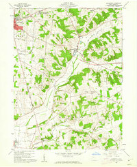 1960 Zanesfield1962 Print · USGSLogan County during the early 1960s shows a landscape of high ridges and deep river valleys anchored by the village of Zanesfield. Researchers can trace family history at Pickrell Cem, explore the site of Macochee Castle, or locate the Bellefontaine Air Force Station.3 unique versions available
 - 1961 Map of East Liberty
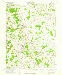 1961 East Liberty1961 Print · USGSCentral Ohio farmland at the start of the 1960s reveals a dense network of family cemeteries and rural schools. Genealogists can trace local roots through sites like Quaker Cem and Middleburg Cem, or locate the Old Railroad Grade near East Liberty.4 unique versions available
 - 1961 Map of North Lewisburg, 1962 Print
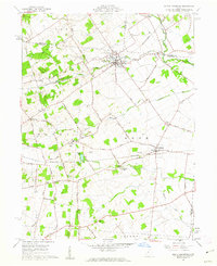 1961 North Lewisburg1962 Print · USGSChampaign and Union Counties appear here in the early sixties, showing a landscape defined by traditional family farming and crossing rail lines. Researchers can trace ancestral sites at Jenkins Chapel, Immaculate Conception Ch, and numerous family burial grounds like Graham Cem.3 unique versions available
 - 1961 Map of Kingscreek, 1962 Print
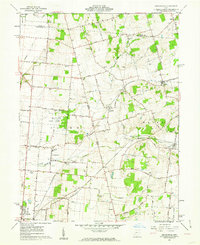 1961 Kingscreek1962 Print · USGSChampaign and Logan counties are documented here in the early sixties, showing a rural landscape of family farms and rail-stop villages. Trace local genealogy and industry through Ohio Caverns, the Township High Sch, and the Erie Lackawanna rail corridor.3 unique versions available
 - 1962 Map of Marion
 1962 Marion1962 Print · USGSCentral Ohio during the post-war era showcases a dense network of railroad towns and emerging interstate highways. Genealogists can trace family roots in smaller settlements like Houcktown and Marseilles or locate landmarks near Indian Lake.
 - 1966 Map of Marion, 1968 Print
 1966 Marion1968 Print · USGSCentral Ohio in the mid-sixties is captured during a period of rapid highway expansion and industrial connectivity. Genealogists and historians can trace rail-and-river networks through towns like Marion, Urbana, and Mount Vernon, or locate landmarks such as Malabar Farm and Black Hand Rock.3 unique versions available
 - 1986 Map of Bellefontaine
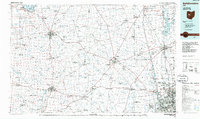 1986 Bellefontaine1986 Print · USGSWest Central Ohio in the mid-1980s reveals a landscape of growing metropolitan fringes and established rural centers. Researchers can trace historic cemeteries and civic institutions from Oak Grove Cem to the State Reformatory For Women and Cedar Bog State Nature Preserve.
 - 1992 Map of Bellefontaine
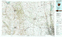 1992 Bellefontaine1992 Print · USGSWest-central Ohio in the early nineties reveals a blend of high-plateau geography and growing suburban corridors near the state capital. Genealogists can trace family connections to landmarks like Mount Tabor Church, Oak Grove Cemetery, and the high ground of Campbell Hill.
 - 2010 Map of East Liberty, 2010 Print
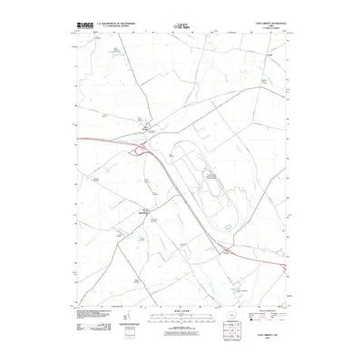 2010 East Liberty2010 Print · USGSThe crossroads of East Liberty and Middleburg are shown here during their modern transition into an automotive research hub. Researchers can trace family roots through a dense network of local burial grounds including Quaker Cemetery and Sharp Cemetery.
 - 2010 Map of Kingscreek, 2010 Print
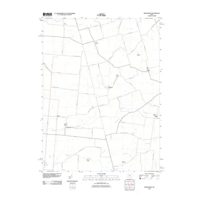 2010 Kingscreek2010 Print · USGSChampaign County at the start of the 21st century remains a landscape of established rural settlements and family-named landmarks. Researchers can trace local heritage through numerous burial sites like Piatt Cemetery and the hub of Mingo Post Office.
 - 2010 Map of Zanesfield, 2010 Print
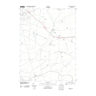 2010 Zanesfield2010 Print · USGSLogan County history comes alive in this survey of the valley near Zanesfield and Pickrelltown during the early twenty-first century. Researchers can locate numerous family burial grounds like Tharps Run Cemetery and explore the unique architectural legacy of Macacheek Castle.
 - 2010 Map of North Lewisburg, 2010 Print
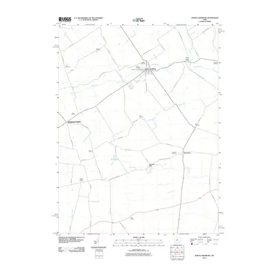 2010 North Lewisburg2010 Print · USGSChampaign County at the turn of the decade reflects a landscape of enduring agricultural roots and scattered village life. Genealogists can trace family names through numerous rural burial sites like Sodom Cemetery, Jenkins Chapel Cemetery, and Mead Cemetery.
 - 2013 Map of Zanesfield, 2013 Print
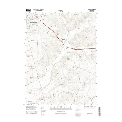 2013 Zanesfield2013 Print · USGSThe Logan County highlands come into focus in the early twenty-first century, showing a landscape shaped by the Mad River and the hills around Zanesfield. Researchers can trace local lineage through sites like Macochee Castle, Pickrelltown, and the Tharps Run Cemetery.
 - 2013 Map of North Lewisburg, 2013 Print
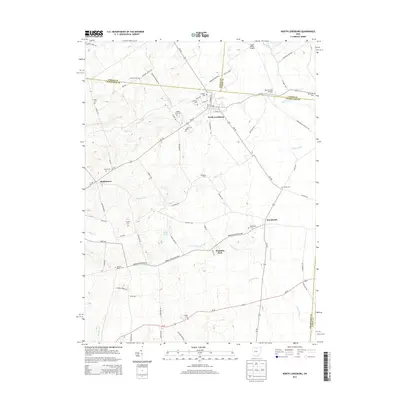 2013 North Lewisburg2013 Print · USGSThe rural borderlands of Champaign and Union counties come into focus in the early 2010s, showing a landscape defined by small villages and historic burial grounds. Family historians can locate several resting places like Maple Grove Cem and Martin Cem alongside local landmarks like Brush Lake.
 - 2013 Map of Kingscreek, 2013 Print
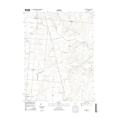 2013 Kingscreek2013 Print · USGSChampaign County at the start of the 2010s reveals a quiet agricultural landscape of small hamlets and family-named crossroads. Genealogists and local historians can trace legacy sites like Mt Tabor Cem, the settlement of Mingo, and the Dugan Prairie marshlands.
 - 2013 Map of East Liberty, 2013 Print
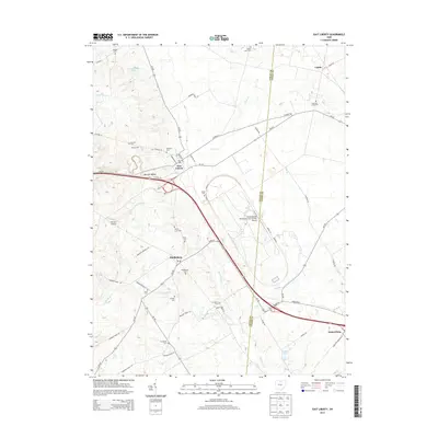 2013 East Liberty2013 Print · USGSSettled rural townships in Logan and Union counties show a mix of deep agricultural roots and modern industrial research at the start of the 21st century. Genealogists can trace family sites at Inskeep Cemetery or Middleburg Cemetery while mapping the landscape around East Liberty and Pottersburg.
 - 2016 Map of East Liberty, 2016 Print
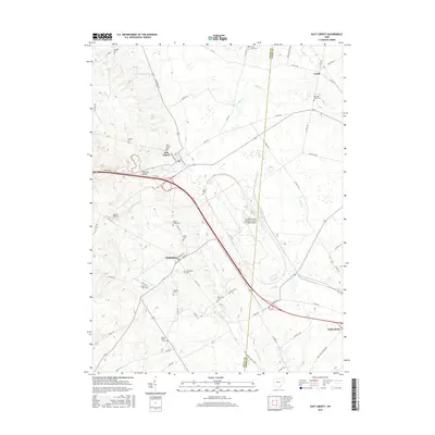 2016 East Liberty2016 Print · USGSThe headwaters of the Big Darby and Little Darby Creeks flow through this rural Ohio landscape as it appeared in the mid-2010s. Researchers can locate numerous family burial grounds and small-town centers like Middleburg, East Liberty Cem, and Pottersburg.
 - 2016 Map of Zanesfield, 2016 Print
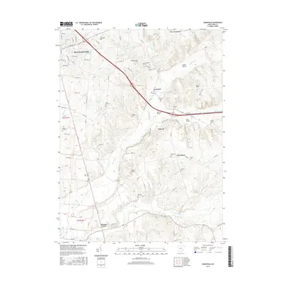 2016 Zanesfield2016 Print · USGSLogan County’s high ground and the Mad River headwaters are documented in this recent survey, capturing the rural character of the eastern Bellefontaine area. Genealogists can locate numerous family burial sites like Tharps Run Cem and the landmark Macochee Castle.
Showing maps 1-25 of 35
Top cities near Zane Township
- Marysville historical maps
- Bellefontaine historical maps
- Urbana historical maps
- West Liberty historical maps
- Mechanicsburg historical maps
- North Lewisburg historical maps
See more
Top neighborhoods of Zane Township
Frequently asked questions
- What are the different types of historical maps available for Zane Township?
- What is the oldest map of Zane Township?
- Where can I purchase historical maps of Zane Township for my home or office?
- Where can I download high-res historical maps of Zane Township?
- Are there historical topographic maps available for Zane Township?
- Is there historical aerial imagery available for Zane Township?
- Where are historical maps of Zane Township sourced from?