2000s (21st Century) Maps of Oregon, Ohio
Explore 25 historic maps of Oregon from the 2000s (21st Century). These maps offer a rare glimpse into what life looked like during the 2000s — showing old roads, neighborhoods, homes, and landmarks that have changed or disappeared over time.
Whether you're researching your family's past, planning a metal detecting trip, or studying how Oregon's landscape evolved across the 2000s, these high-resolution maps are a powerful tool for exploring the history of this region.
- Focus on a specific era: All maps on this page are from the 2000s, giving you a focused view of this time period.
- See what’s changed: Compare century-old streets, trails, and buildings to today's modern landscape using overlays and satellite layers.
- Research with precision: Use these maps for genealogy, historical research, land use analysis, or educational projects.
- View, download, or print: Maps are fully viewable online in high resolution, and can be downloaded or printed for your own records.
Start exploring Oregon's history through authentic maps from the 2000s. This is your window into the past.
Oregon, OH maps
(25)- 2010 Map of Rossford, 2010 Print
 2010 Rossford2010 Print · USGSCovers Oregon, including Toledo, Perrysburg, and other nearby areas
 - 2010 Map of Walbridge, 2010 Print
 2010 Walbridge2010 Print · USGSCovers Oregon, including Northwood, Millbury, and other nearby areas
 - 2010 Map of Reno Beach, 2010 Print
 2010 Reno Beach2010 Print · USGSCovers Oregon, including Reno Beach, Niles Beach, and other nearby areas
 - 2011 Map of Oregon, 2011 Print
 2011 Oregon2011 Print · USGSCovers Oregon, including Toledo, Erie Township, and other nearby areas
 - 2011 Map of Toledo, 2011 Print
 2011 Toledo2011 Print · USGSCovers Oregon, including Toledo, Bedford Township, and other nearby areas
 - 2013 Map of Walbridge, 2013 Print
 2013 Walbridge2013 Print · USGSCovers Oregon, including Northwood, Millbury, and other nearby areas
 - 2013 Map of Oregon, 2013 Print
 2013 Oregon2013 Print · USGSCovers Oregon, including Toledo, Erie Township, and other nearby areas
 - 2013 Map of Rossford, 2013 Print
 2013 Rossford2013 Print · USGSCovers Oregon, including Toledo, Perrysburg, and other nearby areas
 - 2013 Map of Toledo, 2013 Print
 2013 Toledo2013 Print · USGSCovers Oregon, including Toledo, Bedford Township, and other nearby areas
 - 2013 Map of Reno Beach, 2013 Print
 2013 Reno Beach2013 Print · USGSCovers Oregon, including Reno Beach, Niles Beach, and other nearby areas
 - 2016 Map of Oregon, 2016 Print
 2016 Oregon2016 Print · USGSCovers Oregon, including Toledo, Erie Township, and other nearby areas
 - 2016 Map of Toledo, 2016 Print
 2016 Toledo2016 Print · USGSCovers Oregon, including Toledo, Bedford Township, and other nearby areas
 - 2016 Map of Reno Beach, 2016 Print
 2016 Reno Beach2016 Print · USGSCovers Oregon, including Reno Beach, Niles Beach, and other nearby areas
 - 2016 Map of Walbridge, 2016 Print
 2016 Walbridge2016 Print · USGSCovers Oregon, including Northwood, Millbury, and other nearby areas
 - 2016 Map of Rossford, 2016 Print
 2016 Rossford2016 Print · USGSCovers Oregon, including Toledo, Perrysburg, and other nearby areas
 - 2019 Map of Toledo, 2019 Print
 2019 Toledo2019 Print · USGSCovers Oregon, including Toledo, Bedford Township, and other nearby areas
 - 2019 Map of Oregon, 2019 Print
 2019 Oregon2019 Print · USGSCovers Oregon, including Toledo, Erie Township, and other nearby areas
 - 2019 Map of Reno Beach, 2019 Print
 2019 Reno Beach2019 Print · USGSCovers Oregon, including Reno Beach, Niles Beach, and other nearby areas
 - 2019 Map of Rossford, 2019 Print
 2019 Rossford2019 Print · USGSCovers Oregon, including Toledo, Perrysburg, and other nearby areas
 - 2019 Map of Walbridge, 2019 Print
 2019 Walbridge2019 Print · USGSCovers Oregon, including Northwood, Millbury, and other nearby areas
 - 2023 Map of Walbridge, 2023 Print
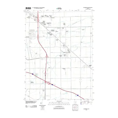
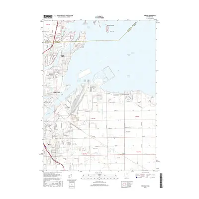
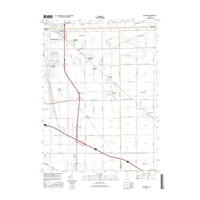
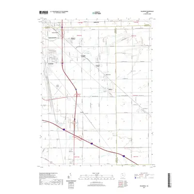
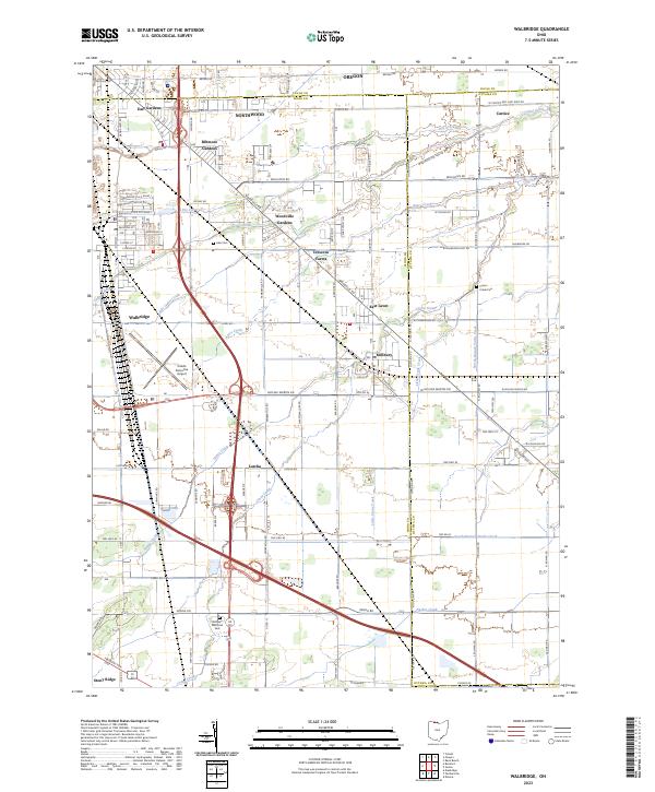 2023 Walbridge2023 Print · USGSThe Wood County suburbs and transit corridors east of Toledo are captured here in the early 2020s. Researchers can trace the layout of Walbridge and Millbury, or find family sites at Lake Cem and Restlawn Memorial Park.
 - 2023 Map of Oregon, 2023 Print
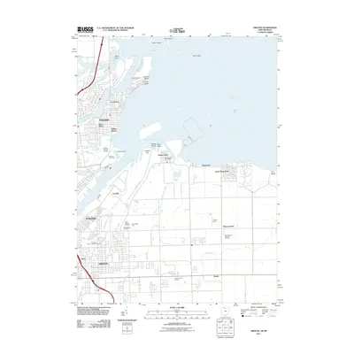
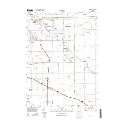
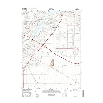
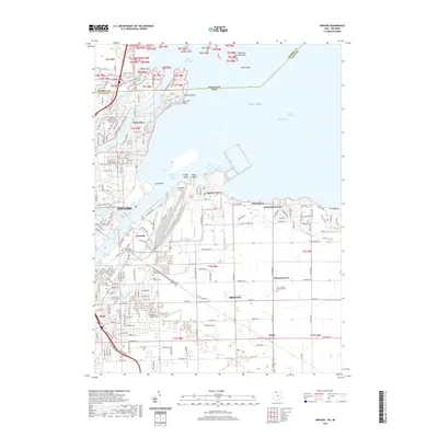
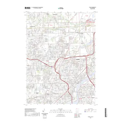
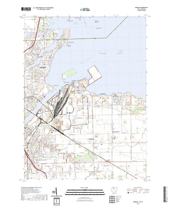 2023 Oregon2023 Print · USGSThe industrial shoreline of Lake Erie and the Maumee River are captured here in the early twenty-first century. Genealogists and local historians can trace family plots at Beth Shalom Cem or explore the waterfront layouts of Harbor View and Point Place.
 - 2023 Map of Rossford, 2023 Print
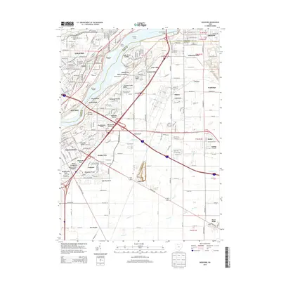
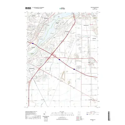
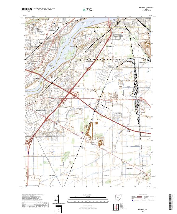 2023 Rossford2023 Print · USGSThe Maumee River corridor south of Toledo is shown here in its modern industrial and residential complexity. Researchers can trace the layout of family cemeteries and institutions, from the Toledo State Hospital Old Cem to the neighborhoods of Rossford and Lime City.
 - 2023 Map of Reno Beach, 2023 Print
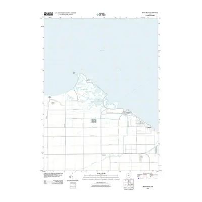
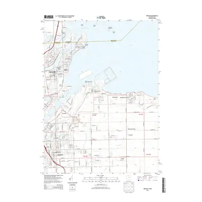
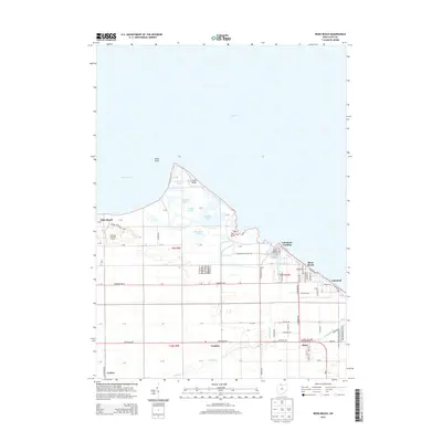
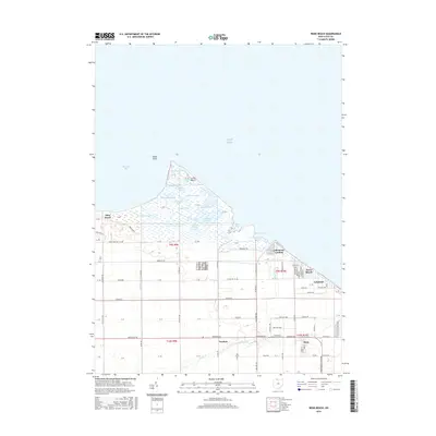
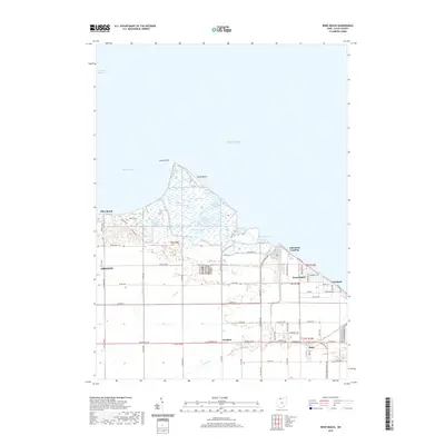
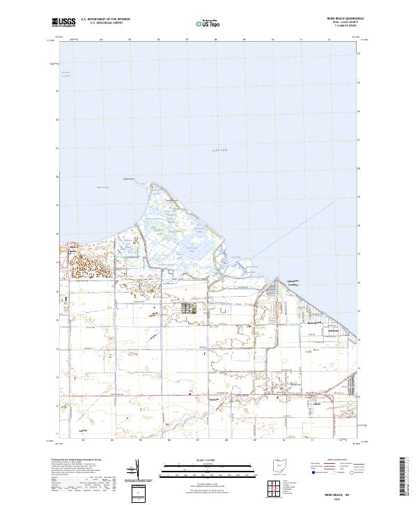 2023 Reno Beach2023 Print · USGSThe Lucas County shoreline and its intricate marshlands are documented here in the early 2020s. Researchers can trace the layout of waterfront communities like Reno Beach and Niles Beach alongside local landmarks such as Wards Canal and Bono.
 - 2023 Map of Toledo, 2023 Print
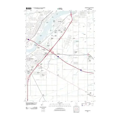
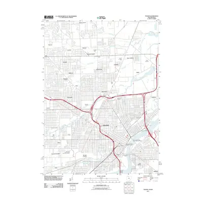
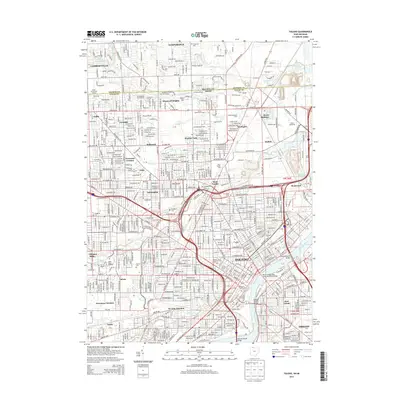
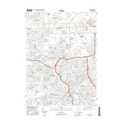
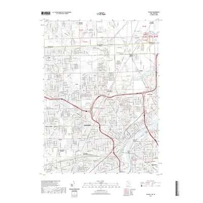
 2023 Toledo2023 Print · USGSToledo and the Maumee River waterfront appear in extensive detail during the early twenty-first century. Researchers can trace the massive rail infrastructure at Air Line Junction and locate family landmarks like Calvary Cem or the University of Toledo.
End of results
Showing maps 1-25 of 25
Top cities near Oregon
- Toledo historical maps
- Bedford Township historical maps
- Perrysburg historical maps
- Monroe historical maps
- Monroe Charter Township historical maps
- Maumee historical maps
See more
Top neighborhoods of Oregon
- Yorktown Village historical maps
- Delta Addition historical maps
- East Meadow historical maps
- Foxgate historical maps
- Hallschild historical maps
- Heritage Estates historical maps
See more
Frequently asked questions
- What are the different types of historical maps available for Oregon?
- What is the oldest map of Oregon?
- Where can I purchase historical maps of Oregon for my home or office?
- Where can I download high-res historical maps of Oregon?
- Are there historical topographic maps available for Oregon?
- Is there historical aerial imagery available for Oregon?
- Where are historical maps of Oregon sourced from?