2010s Maps of Jefferson Township, Ohio
Explore 12 historic maps of Jefferson Township from the 2010s. These maps offer a rare glimpse into what life looked like during the 2010s — showing old roads, neighborhoods, homes, and landmarks that have changed or disappeared over time.
Whether you're researching your family's past, planning a metal detecting trip, or studying how Jefferson Township's landscape evolved across the 2010s, these high-resolution maps are a powerful tool for exploring the history of this region.
- Focus on a specific era: All maps on this page are from the 2010s, giving you a focused view of this time period.
- See what’s changed: Compare century-old streets, trails, and buildings to today's modern landscape using overlays and satellite layers.
- Research with precision: Use these maps for genealogy, historical research, land use analysis, or educational projects.
- View, download, or print: Maps are fully viewable online in high resolution, and can be downloaded or printed for your own records.
Start exploring Jefferson Township's history through authentic maps from the 2010s. This is your window into the past.
Jefferson Township, OH maps
(12)- 2010 Map of Galloway, 2010 Print
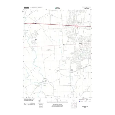 2010 Galloway2010 Print · USGSThe Darby Plains west of Columbus are captured here in a moment of suburban and industrial growth. Researchers can locate numerous local burial sites like Sunset Cemetery and Postle Cemetery or trace the rail lines of the Conrail Buckeye Yards.
 - 2010 Map of West Jefferson, 2010 Print
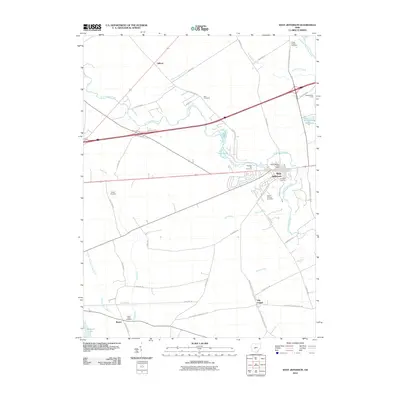 2010 West Jefferson2010 Print · USGSMadison County at the start of the twenty-first century reveals a landscape of established villages and quiet creek bottoms. Researchers can trace local lineage at Foster Chapel Cemetery or Blair Cemetery and locate early settlements like Lilly Chapel and Gillivan.
 - 2010 Map of Plain City, 2010 Print
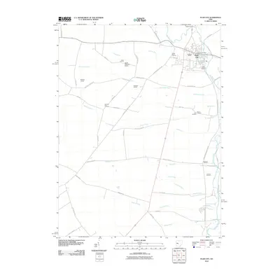 2010 Plain City2010 Print · USGSPlain City and the fertile lands of central Ohio are captured here in the early twenty-first century as the area maintained its rural and agricultural identity. Genealogists and local historians can trace family plots at Smith Cemetery, Big Darby Cemetery, or Sharon Finch Cemetery.
 - 2013 Map of Plain City, 2013 Print
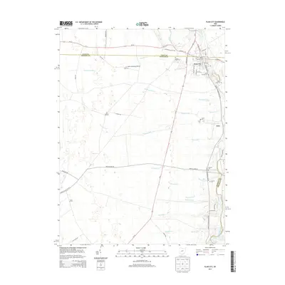 2013 Plain City2013 Print · USGSThe village of Plain City and the surrounding prairie lands are captured here at the start of the 2010s. Genealogists and local historians can trace numerous burial sites and family landmarks, including Smith Cemetery Prairie, Darby Township Cem, and the settlement of Amity.
 - 2013 Map of Galloway, 2013 Print
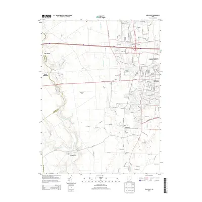 2013 Galloway2013 Print · USGSFranklin and Madison Counties meet along the winding Big Darby Creek during this early 21st-century period of suburban growth. Genealogists can locate several local burial sites such as Gundy Cem and Saint James Lutheran Cem, while researchers trace the area's aviation history at Bolton Field Airport.
 - 2013 Map of West Jefferson, 2013 Print
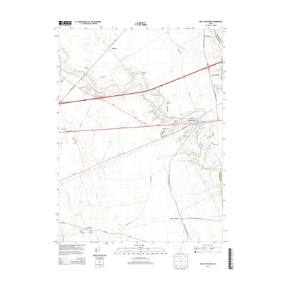 2013 West Jefferson2013 Print · USGSMadison County at the start of the 2010s shows a landscape where historic transit corridors and modern farming meet. Researchers can trace family history through sites like Lilly Chapel, Gillivan, and various local markers such as Lower Glade Cem.
 - 2016 Map of Plain City, 2016 Print
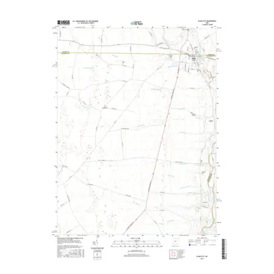 2016 Plain City2016 Print · USGSPlain City and the rural borderlands of Union and Madison counties are documented here in the mid-2010s. Researchers can locate numerous local burial sites like United Bethel Cemetery and the Sharon Cemetery while tracing the Big Darby Creek corridor.
 - 2016 Map of Galloway, 2016 Print
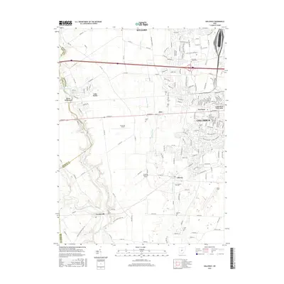 2016 Galloway2016 Print · USGSFranklin and Madison counties are shown here as the Columbus suburbs push westward into traditional farmland during the twenty-first century. Genealogists and local historians can trace small rural burial sites like Gundy Cem and Oak Grove Cem or locate the historic center of Galloway.
 - 2016 Map of West Jefferson, 2016 Print
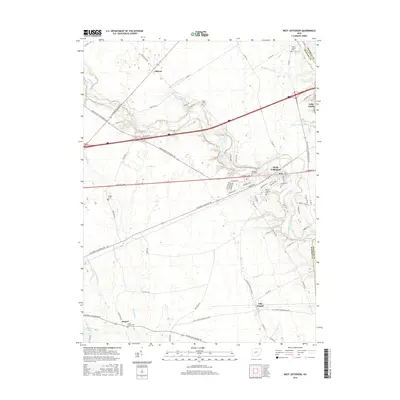 2016 West Jefferson2016 Print · USGSMadison County farmland and the village of West Jefferson appear in detail in the mid-2010s. Researchers can trace family history through numerous burial grounds like Blair Cem and Wright Cem or explore the area around Madison Lake.
 - 2019 Map of Galloway, 2019 Print
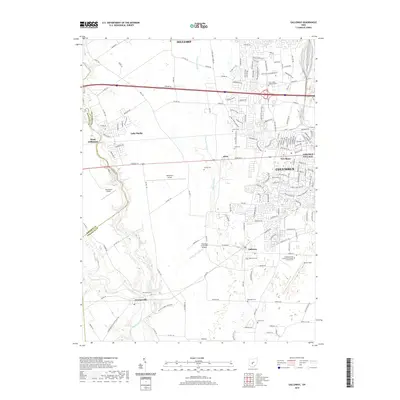 2019 Galloway2019 Print · USGSWestern Franklin County in the late 2010s shows a unique mix of suburban growth and preserved river corridors. Researchers can trace family history at Saint James Lutheran Cem or explore the valley landscape of Battelle Darby Creek Park and Georgesville.
 - 2019 Map of West Jefferson, 2019 Print
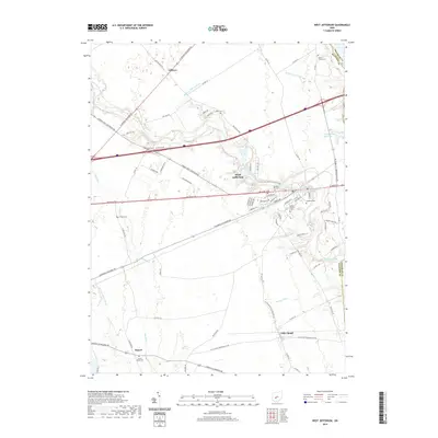 2019 West Jefferson2019 Print · USGSWest Jefferson and the Madison County plains are shown here in the late 2010s as a landscape of historic thoroughfares and complex agricultural drainage. Researchers can trace the path of the National Pike and locate local settlements like Lilly Chapel, Gillivan, and Rupert.
 - 2019 Map of Plain City, 2019 Print
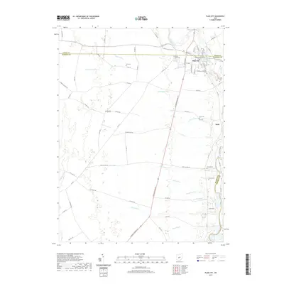 2019 Plain City2019 Print · USGSPlain City and the surrounding rural townships are captured here in the late twenty-teens, showing the established crossroads of Union and Madison counties. Genealogists and local historians can locate several family and community landmarks, including Forest Grove Cem, Sharon Cem, and the small settlement of Amity.
End of results
Showing maps 1-12 of 12
Top cities near Jefferson Township
- Columbus historical maps
- Dublin historical maps
- Hilliard historical maps
- Upper Arlington historical maps
- Grove City historical maps
- Powell historical maps
See more
Top neighborhoods of Jefferson Township
Frequently asked questions
- What are the different types of historical maps available for Jefferson Township?
- What is the oldest map of Jefferson Township?
- Where can I purchase historical maps of Jefferson Township for my home or office?
- Where can I download high-res historical maps of Jefferson Township?
- Are there historical topographic maps available for Jefferson Township?
- Is there historical aerial imagery available for Jefferson Township?
- Where are historical maps of Jefferson Township sourced from?