Old Maps of Jefferson Township, Ohio for Academic Research
Study the evolution of Jefferson Township with 34 high-resolution historic maps. Whether you're teaching, researching, or modeling changes in land use, these maps provide essential visual documentation of urban, environmental, and geographic change.
- Analyze long-term change: Track patterns in development, transportation, and natural features.
- Ideal for environmental or urban studies: Support academic projects with primary historical map data.
- Use in the classroom or lab: Educators and researchers rely on these maps to bring historical context to life.
These maps are a powerful tool for teaching, research, and visualizing how Jefferson Township has changed over the decades.
Jefferson Township, OH maps
(34)- 1907 Map of London, 1940 Print
 1907 London1940 Print · USGSMadison County at the turn of the century shows a landscape transitioning through the height of the electric railway era. Genealogists can trace the rural schoolhouses like Dunn School and Glade School or locate family sites near Lilly Chapel and Lafayette.2 unique versions available
 - 1916 Map of Milford Center, 1948 Print
 1916 Milford Center1948 Print · USGSThe rural expanse of central Ohio is captured here in the mid-nineteen-tens, centered on the rail junctions of Marysville and Milford Center. Genealogists and local historians can trace family roots through numerous country schools like Minoque School and the Industrial Home for Women.
 - 1923 Map of West Columbus, 1955 Print
 1923 West Columbus1955 Print · USGSFranklin County in the early twenties shows the growing western edge of Columbus and its surrounding rural townships. Genealogists and historians can trace the paths of the National Road and find landmarks like Camp Chase, Urbancrest, and Pisgah School.
 - 1925 Map of West Columbus, 1946 Print
 1925 West Columbus1946 Print · USGSFranklin and Pickaway counties are shown here in the mid-twenties, when the growing state capital met a landscape of electric railways and rural schoolhouses. Researchers can trace the National Road and locate sites like the Pisgah School, Mt Calvary Cemetery, and the State Hospital.
 - 1944 Map of Milford Center
 1944 Milford Center1944 Print · USGSCentral Ohio during the war years shows a landscape of busy rail junctions and fertile creek valleys. Genealogists and local historians can locate old rural schoolhouses like Lombard Sch and trace the paths of the Pennsylvania railroad through Milford Center.
 - 1947 Map of Columbus, 1948 Print
 1947 Columbus1948 Print · USGSCentral Ohio in the late 1940s is captured in this survey, showing the post-war transition of its rail hubs and military airfield expansions. Genealogists and historians can trace the paths of the Ohio Canal, the Pennsylvania RR lines, and the Camp Sherman Military Reservation.
 - 1950 Map of Marion
 1950 Marion1950 Print · USGSCentral Ohio was a powerhouse of rail and river industry at the mid-century point, serving as a vital corridor between the Great Lakes and the Ohio River valley. Genealogists and rail historians can trace the paths of the Erie RR and Nickel Plate Road through towns like Bucyrus, Galion, and Upper Sandusky.
 - 1955 Map of Galloway, 1956 Print
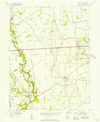 1955 Galloway1956 Print · USGSThe rural fringes of western Columbus during the mid-fifties reveal a landscape of creek-side camps and rail-stop villages. Genealogists can trace family names through sites like Oak Grove Cem and Gundy Cem, or locate the historic Alton Station along the Pennsylvania Railroad.
 - 1961 Map of Columbus
 1961 Columbus1961 Print · USGSCentral and Southern Ohio are captured here in the early sixties, as the region's industrial rail hubs and military bases reached their peak. Genealogists and historians can trace the transition from urban Columbus to rural townships along the Scioto River, locating Lockbourne USAF and old junctions like Washington Court House.
 - 1961 Map of West Jefferson, 1962 Print
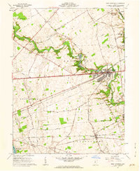 1961 West Jefferson1962 Print · USGSMadison County's agricultural heartland is documented here in the early sixties, centered on the rail-and-river hub of West Jefferson. Researchers can trace family roots through sites like Hampton Cem and the rural community at Lilly Chapel.4 unique versions available
 - 1961 Map of Plain City, 1962 Print
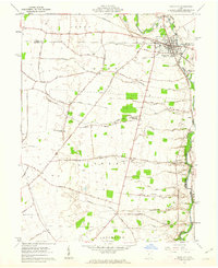 1961 Plain City1962 Print · USGSThe border of Madison and Union counties comes alive in the early sixties, centered on the growing village of Plain City. Researchers can trace ancestral farmsteads near Sweeney Cem, local schools like Canaan Sch, and the winding path of Big Darby Creek.3 unique versions available
 - 1962 Map of Columbus
 1962 Columbus1962 Print · USGSCentral Ohio during the early sixties reveals a transition from the industrial corridors of Columbus to the forested ridges of the south. Genealogists and historians can trace the rail networks of the Baltimore & Ohio RR and find local landmarks like Washington Court House and Camp Sherman Military Reservation.
 - 1962 Map of Marion
 1962 Marion1962 Print · USGSCentral Ohio during the post-war era showcases a dense network of railroad towns and emerging interstate highways. Genealogists can trace family roots in smaller settlements like Houcktown and Marseilles or locate landmarks near Indian Lake.
 - 1966 Map of Marion, 1968 Print
 1966 Marion1968 Print · USGSCentral Ohio in the mid-sixties is captured during a period of rapid highway expansion and industrial connectivity. Genealogists and historians can trace rail-and-river networks through towns like Marion, Urbana, and Mount Vernon, or locate landmarks such as Malabar Farm and Black Hand Rock.3 unique versions available
 - 1966 Map of Galloway, 1968 Print
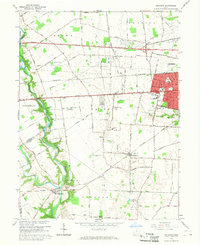 1966 Galloway1968 Print · USGSWestern Franklin County was a landscape of transitioning farmsteads and new suburban tracts in the mid-sixties. Genealogists and local historians can trace old family cemetery plots like Clover Cem and Galloway Cem alongside vanished landmarks like Columbus Airpark.4 unique versions available
 - 1967 Map of Columbus, 1969 Print
 1967 Columbus1969 Print · USGSCentral Ohio during the late sixties serves as a vital corridor of rail and aviation, from the industrial streets of Springfield to the hangar lines of Lockbourne Air Force Base. Genealogists and researchers can trace the growth of towns like Circleville and London or locate rural landmarks such as St Paul church and the London Correctional Institution.2 unique versions available
 - 1986 Map of Bellefontaine
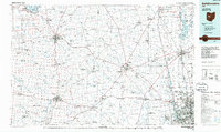 1986 Bellefontaine1986 Print · USGSWest Central Ohio in the mid-1980s reveals a landscape of growing metropolitan fringes and established rural centers. Researchers can trace historic cemeteries and civic institutions from Oak Grove Cem to the State Reformatory For Women and Cedar Bog State Nature Preserve.
 - 1986 Map of Springfield
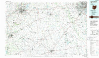 1986 Springfield1986 Print · USGSCentral Ohio in the mid-1980s shows the bustling rail-and-road network connecting Springfield and Xenia to the western outskirts of Columbus. Researchers can trace old family sites and transit routes through Glen Haven Mem Cem, Madison Lake State Park, and the CONRAIL line.2 unique versions available
 - 1992 Map of Bellefontaine
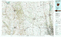 1992 Bellefontaine1992 Print · USGSWest-central Ohio in the early nineties reveals a blend of high-plateau geography and growing suburban corridors near the state capital. Genealogists can trace family connections to landmarks like Mount Tabor Church, Oak Grove Cemetery, and the high ground of Campbell Hill.
 - 2010 Map of Galloway, 2010 Print
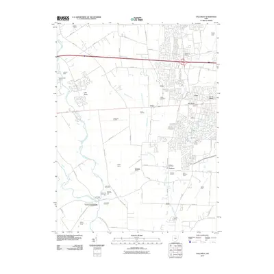 2010 Galloway2010 Print · USGSThe Darby Plains west of Columbus are captured here in a moment of suburban and industrial growth. Researchers can locate numerous local burial sites like Sunset Cemetery and Postle Cemetery or trace the rail lines of the Conrail Buckeye Yards.
 - 2010 Map of West Jefferson, 2010 Print
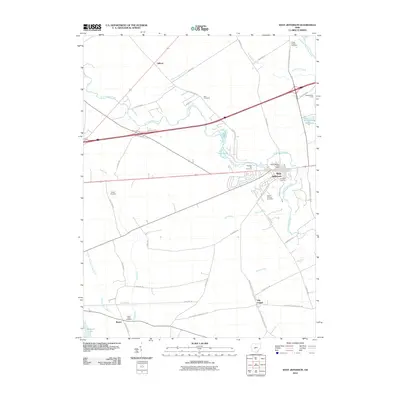 2010 West Jefferson2010 Print · USGSMadison County at the start of the twenty-first century reveals a landscape of established villages and quiet creek bottoms. Researchers can trace local lineage at Foster Chapel Cemetery or Blair Cemetery and locate early settlements like Lilly Chapel and Gillivan.
 - 2010 Map of Plain City, 2010 Print
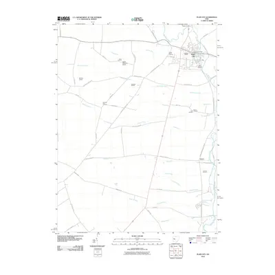 2010 Plain City2010 Print · USGSPlain City and the fertile lands of central Ohio are captured here in the early twenty-first century as the area maintained its rural and agricultural identity. Genealogists and local historians can trace family plots at Smith Cemetery, Big Darby Cemetery, or Sharon Finch Cemetery.
 - 2013 Map of Plain City, 2013 Print
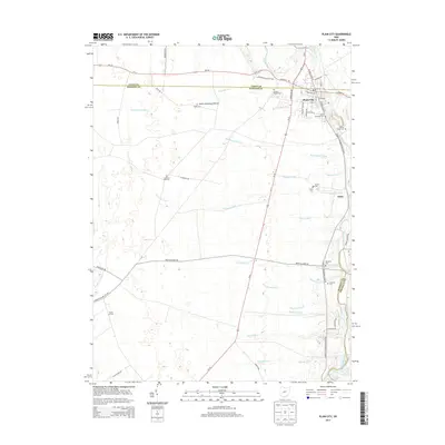 2013 Plain City2013 Print · USGSThe village of Plain City and the surrounding prairie lands are captured here at the start of the 2010s. Genealogists and local historians can trace numerous burial sites and family landmarks, including Smith Cemetery Prairie, Darby Township Cem, and the settlement of Amity.
 - 2013 Map of Galloway, 2013 Print
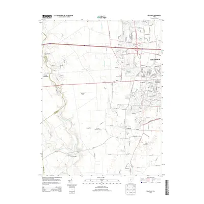 2013 Galloway2013 Print · USGSFranklin and Madison Counties meet along the winding Big Darby Creek during this early 21st-century period of suburban growth. Genealogists can locate several local burial sites such as Gundy Cem and Saint James Lutheran Cem, while researchers trace the area's aviation history at Bolton Field Airport.
 - 2013 Map of West Jefferson, 2013 Print
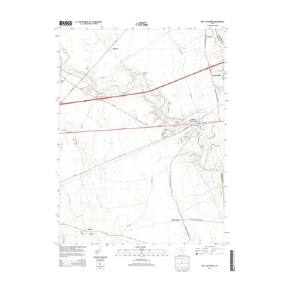 2013 West Jefferson2013 Print · USGSMadison County at the start of the 2010s shows a landscape where historic transit corridors and modern farming meet. Researchers can trace family history through sites like Lilly Chapel, Gillivan, and various local markers such as Lower Glade Cem.
Showing maps 1-25 of 34
Top cities near Jefferson Township
- Columbus historical maps
- Dublin historical maps
- Hilliard historical maps
- Upper Arlington historical maps
- Grove City historical maps
- Powell historical maps
See more
Top neighborhoods of Jefferson Township
Frequently asked questions
- What are the different types of historical maps available for Jefferson Township?
- What is the oldest map of Jefferson Township?
- Where can I purchase historical maps of Jefferson Township for my home or office?
- Where can I download high-res historical maps of Jefferson Township?
- Are there historical topographic maps available for Jefferson Township?
- Is there historical aerial imagery available for Jefferson Township?
- Where are historical maps of Jefferson Township sourced from?