Old Maps of Range Township, Ohio for Hiking & Exploration
Hike through history with 39 historic maps of Range Township. Explore old trails, ghost towns, and forgotten backroads — perfect for outdoor adventurers and local explorers.
- Rediscover forgotten places: Map out old mining camps, roads, and footpaths that no longer exist on modern maps.
- Layer with modern tools: Combine with LiDAR or satellite views to plan hikes through historical terrain.
- Made for exploration: Popular among hikers, overlanders, and local history lovers.
Use these maps to find adventure and explore the hidden past of Range Township.
Range Township, OH maps
(39)- 1906 Map of Mt Sterling, 1946 Print
 1906 Mt Sterling1946 Print · USGSCentral Ohio at the start of the twentieth century is a landscape of thriving rail hubs and rural townships. Trace the convergence of five railroads at Washington Courthouse and find family landmarks like the County Infirmary or Bloomingburg.
 - 1907 Map of London, 1940 Print
 1907 London1940 Print · USGSMadison County at the turn of the century shows a landscape transitioning through the height of the electric railway era. Genealogists can trace the rural schoolhouses like Dunn School and Glade School or locate family sites near Lilly Chapel and Lafayette.2 unique versions available
 - 1916 Map of Octa, 1941 Print
 1916 Octa1941 Print · USGSFayette and Greene Counties are captured here at a peak of rural development, prior to the consolidation of its numerous neighborhood school districts. You can trace the rail-era infrastructure of Octa and Jeffersonville or locate early community sites like Dakin Chapel and the Selden PO.
 - 1944 Map of Octa
 1944 Octa1944 Print · USGSSouthwestern Ohio at the end of the Second World War shows a landscape dense with rural schoolhouses and rail-connected villages. Genealogists can trace family roots through dozens of local landmarks like Sugar Grove Sch, Selden PO, and the junction at Octa.
 - 1947 Map of Columbus, 1948 Print
 1947 Columbus1948 Print · USGSCentral Ohio in the late 1940s is captured in this survey, showing the post-war transition of its rail hubs and military airfield expansions. Genealogists and historians can trace the paths of the Ohio Canal, the Pennsylvania RR lines, and the Camp Sherman Military Reservation.
 - 1961 Map of Columbus
 1961 Columbus1961 Print · USGSCentral and Southern Ohio are captured here in the early sixties, as the region's industrial rail hubs and military bases reached their peak. Genealogists and historians can trace the transition from urban Columbus to rural townships along the Scioto River, locating Lockbourne USAF and old junctions like Washington Court House.
 - 1961 Map of Big Plain, 1962 Print
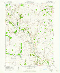 1961 Big Plain1962 Print · USGSMadison County farmland is captured here in the early sixties, showing a landscape defined by drainage ditches and quiet crossroads. Researchers can locate family cemeteries like Graham Cem, the historic Indian Mound, and vanished rural hubs like Kiousville and Big Plain.2 unique versions available
 - 1961 Map of Walnut Run, 1962 Print
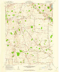 1961 Walnut Run1962 Print · USGSMadison County's rural landscape is captured in the early sixties, showing a transition from traditional farming to modern infrastructure. Genealogists can locate family burial grounds like Kirkwood Cem and Evans Cem alongside the waters of Walnut Run.2 unique versions available
 - 1961 Map of Jeffersonville, 1963 Print
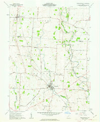 1961 Jeffersonville1963 Print · USGSThe rural crossing of Fayette and Madison counties is captured here in the early sixties, centered on the rail hub of Jeffersonville. Trace family history through numerous small plots like Hogue-Allen Cem and the Bookwalter Sch.3 unique versions available
 - 1961 Map of Midway, 1963 Print
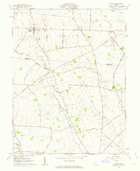 1961 Midway1963 Print · USGSMidway and the rural townships of Madison and Fayette counties are captured here in the early sixties, within the bounds of the old Virginia Military District. Genealogists and local historians can trace family roots at Union Chapel, Bethel Cem, or the small settlement of Yatesville.2 unique versions available
 - 1961 Map of Mount Sterling, 1963 Print
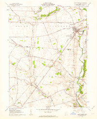 1961 Mount Sterling1963 Print · USGSMadison and Fayette counties come into focus during the early sixties as a network of rail and river commerce. Genealogists can trace family names at McClimansville Cemetery or Madison Mills Cem, and locate the Covered Bridge on Deer Creek.2 unique versions available
 - 1962 Map of Columbus
 1962 Columbus1962 Print · USGSCentral Ohio during the early sixties reveals a transition from the industrial corridors of Columbus to the forested ridges of the south. Genealogists and historians can trace the rail networks of the Baltimore & Ohio RR and find local landmarks like Washington Court House and Camp Sherman Military Reservation.
 - 1967 Map of Columbus, 1969 Print
 1967 Columbus1969 Print · USGSCentral Ohio during the late sixties serves as a vital corridor of rail and aviation, from the industrial streets of Springfield to the hangar lines of Lockbourne Air Force Base. Genealogists and researchers can trace the growth of towns like Circleville and London or locate rural landmarks such as St Paul church and the London Correctional Institution.2 unique versions available
 - 1986 Map of Springfield
 1986 Springfield1986 Print · USGSCentral Ohio in the mid-1980s shows the bustling rail-and-road network connecting Springfield and Xenia to the western outskirts of Columbus. Researchers can trace old family sites and transit routes through Glen Haven Mem Cem, Madison Lake State Park, and the CONRAIL line.2 unique versions available
 - 2010 Map of Walnut Run, 2010 Print
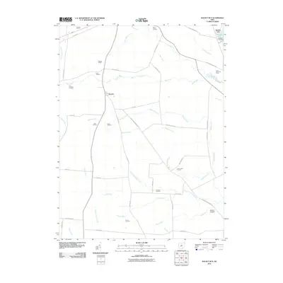 2010 Walnut Run2010 Print · USGSIn the early twenty-first century, this Madison County landscape reflects a deeply rooted rural history centered on Newport. Genealogists and historians can locate numerous family burial sites such as Sifrit Cemetery, Kilgore Cemetery, and Carson Cemetery.
 - 2010 Map of Mount Sterling, 2010 Print
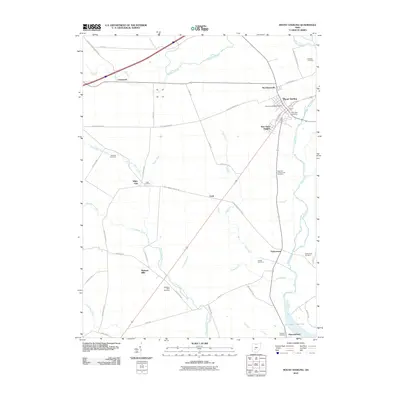 2010 Mount Sterling2010 Print · USGSMount Sterling and the surrounding central Ohio farmland are documented here during the early twenty-first century. Researchers can locate family heritage sites like Bostwick-Loofbourrow Cemetery, the village of Madison Mills, and the waters of Deer Creek Lake.
 - 2010 Map of Jeffersonville, 2010 Print
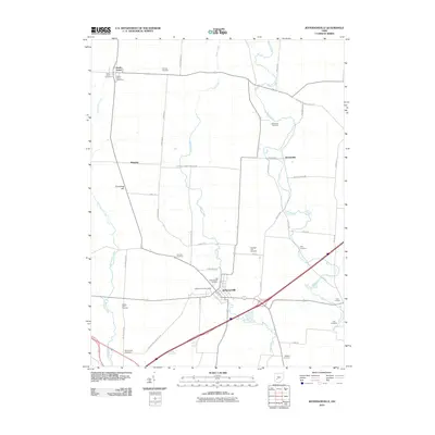 2010 Jeffersonville2010 Print · USGSFayette County agricultural life is captured here in the early twenty-first century, centered on the historic village of Jeffersonville. Genealogists can trace deep local roots through numerous family burial sites like Whiteman Cemetery, Booco-Ryan Cemetery, and Highbee Cemetery.
 - 2010 Map of Midway, 2010 Print
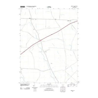 2010 Midway2010 Print · USGSMadison County farmland and the village of Midway are captured here during the first decade of the millennium. Genealogists can locate family burial sites at Range Cemetery, Union Chapel Cemetery, and Vesey Cemetery among the many local drainage ditches.
 - 2010 Map of Big Plain, 2010 Print
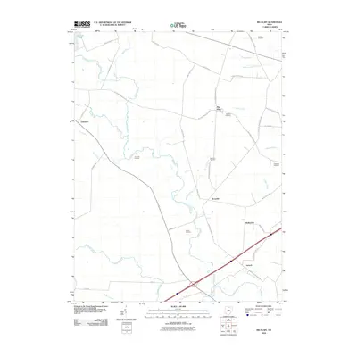 2010 Big Plain2010 Print · USGSAgricultural life in Madison County remains centered on small hamlets and extensive drainage systems in this early 21st-century survey. Genealogists can locate several historic burial grounds, such as Big Plain Cemetery and Graham Cemetery, while tracing the waters of Madison Lake.
 - 2013 Map of Walnut Run, 2013 Print
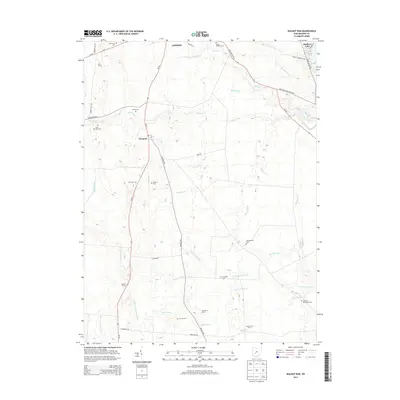 2013 Walnut Run2013 Print · USGSAgricultural Madison County comes into focus in this early twenty-first-century survey of the farmlands surrounding Newport. Genealogists can locate numerous family burial grounds and legacy farmsteads, including Johnston McClimans Cem, Evans Cem, and Seaburn Farms.
 - 2013 Map of Big Plain, 2013 Print
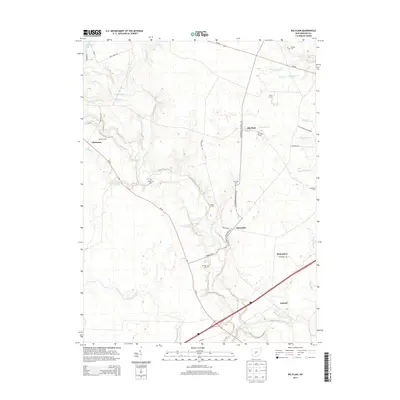 2013 Big Plain2013 Print · USGSMadison County's agricultural heartland is documented here in the early twenty-first century, showing a landscape of small crossroads settlements and family farms. Researchers can locate ancestral resting places at Big Plain Cem or Jackson Cem and trace the drainage networks of Deer Creek and Glade Run.
 - 2013 Map of Mount Sterling, 2013 Print
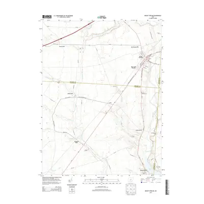 2013 Mount Sterling2013 Print · USGSThe tri-county borderlands of Madison, Fayette, and Pickaway counties come into focus in the early 2010s. Researchers can trace rural lineages through the Methodist Cem, Bostwick Loofbourrow Cem, and old settlements like Chenoweth and Madison Mills.
 - 2013 Map of Midway, 2013 Print
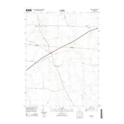 2013 Midway2013 Print · USGSMadison and Fayette counties meet in this agricultural landscape as it appeared in the early 2010s. Genealogists can trace family landmarks through several rural burial grounds, including Range, Bethel, and the Union Chapel church site.
 - 2013 Map of Jeffersonville, 2013 Print
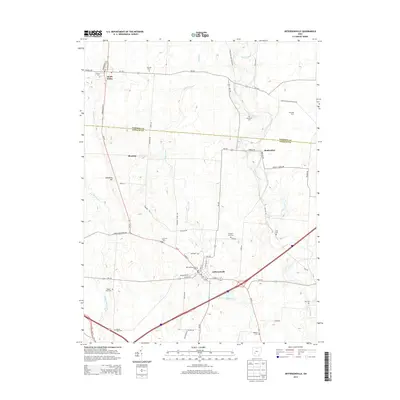 2013 Jeffersonville2013 Print · USGSThe rural border of Fayette and Madison Counties is captured here in the early twenty-first century, showing the enduring agricultural patterns of the region. Local researchers can trace family names and landmarks like Dumpling Hill, Twin Oak Dairy, and the Old Jeffersonville Cem.
 - 2016 Map of Walnut Run, 2016 Print
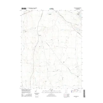 2016 Walnut Run2016 Print · USGSThis Madison County region south of London is mapped in the mid-2010s, showing a landscape of productive farmsteads and managed waterways. Researchers can locate numerous family burial sites such as Sifrit Cem, Evans Cem, and the settlement of Newport.
Showing maps 1-25 of 39
Top cities near Range Township
- Columbus historical maps
- Washington Court House historical maps
- London historical maps
- West Jefferson historical maps
- Mount Sterling historical maps
- South Charleston historical maps
See more
Top neighborhoods of Range Township
Frequently asked questions
- What are the different types of historical maps available for Range Township?
- What is the oldest map of Range Township?
- Where can I purchase historical maps of Range Township for my home or office?
- Where can I download high-res historical maps of Range Township?
- Are there historical topographic maps available for Range Township?
- Is there historical aerial imagery available for Range Township?
- Where are historical maps of Range Township sourced from?