Old Maps of Smith's Corners, Milton Township for Academic Research
Study the evolution of Smith's Corners with 12 high-resolution historic maps. Whether you're teaching, researching, or modeling changes in land use, these maps provide essential visual documentation of urban, environmental, and geographic change.
- Analyze long-term change: Track patterns in development, transportation, and natural features.
- Ideal for environmental or urban studies: Support academic projects with primary historical map data.
- Use in the classroom or lab: Educators and researchers rely on these maps to bring historical context to life.
These maps are a powerful tool for teaching, research, and visualizing how Smith's Corners has changed over the decades.
Smith's Corners, Milton Township maps
(12)- 1908 Map of Warren, 1937 Print
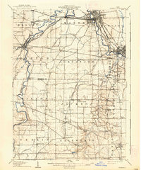 1908 Warren1937 Print · USGSTrumbull and Mahoning counties at the turn of the century show a landscape defined by the heavy rail corridors of the Mahoning River valley. Genealogists can trace family footprints near Russell School, the Infirmary, and early settlements like Mineral Ridge.2 unique versions available
 - 1950 Map of Cleveland
 1950 Cleveland1950 Print · USGSCovers Smith's Corners, including Cleveland, Akron, and other nearby areas
 - 1952 Map of Lake Milton, 1953 Print
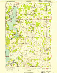 1952 Lake Milton1953 Print · USGSMahoning County in the early fifties shows a landscape of growing reservoirs and deep-rooted rural junctions. Researchers can trace family sites near Berlin Center, locate the Shilling Mill on the river, or find early lakeside settlements like Craig Beach and Flicks Corners.
 - 1956 Map of Cleveland, 1967 Print
 1956 Cleveland1967 Print · USGSNortheast Ohio and Western Pennsylvania are shown at their industrial height during the mid-fifties, from the steel mills to the lakeshore. Researchers can trace the massive Ravenna Arsenal, the Ohio Turnpike, and vanished rail sidings of the B & O RR.3 unique versions available
 - 1962 Map of Cleveland
 1962 Cleveland1962 Print · USGSNortheast Ohio and the Pennsylvania borderlands appear here during the industrial peak of the early sixties. Genealogists and historians can trace the expansive rail lines of the Nickel Plate Road and the growth of suburbs from Parma to Lyndhurst.
 - 1966 Map of Lake Milton, 1968 Print
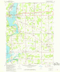 1966 Lake Milton1968 Print · USGSMahoning County is captured in the mid-1960s as lakeside recreation meets a traditional rail-and-river economy. Researchers can locate family roots at Vaughn Cem or trace the Penn Central tracks to Berlin Center Sta and Shiltown.2 unique versions available
 - 1986 Map of Youngstown, 1988 Print
 1986 Youngstown1988 Print · USGSThe industrial corridor of the Mahoning Valley and the collegiate towns of Western Pennsylvania are captured here in the mid-eighties. Researchers can trace the rail lines of the Conrail network or locate historical sites like Churchill and Crown Hill Cem.2 unique versions available
 - 2010 Map of Lake Milton, 2010 Print
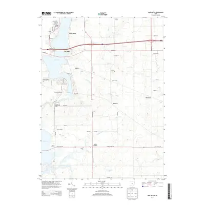
 2010 Lake Milton2010 Print · USGSCovers Smith's Corners, including Craig Beach, Lake Milton, and other nearby areas
 - 2013 Map of Lake Milton, 2013 Print
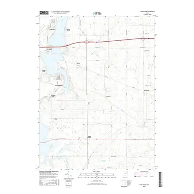
 2013 Lake Milton2013 Print · USGSCovers Smith's Corners, including Craig Beach, Lake Milton, and other nearby areas
 - 2016 Map of Lake Milton, 2016 Print
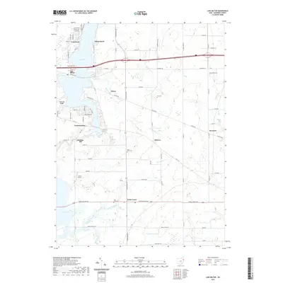
 2016 Lake Milton2016 Print · USGSCovers Smith's Corners, including Craig Beach, Lake Milton, and other nearby areas
 - 2019 Map of Lake Milton, 2019 Print
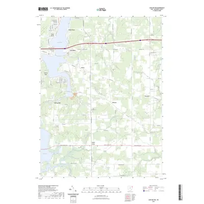
 2019 Lake Milton2019 Print · USGSCovers Smith's Corners, including Craig Beach, Lake Milton, and other nearby areas
 - 2023 Map of Lake Milton, 2023 Print
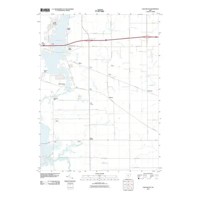
 2023 Lake Milton2023 Print · USGSMahoning County’s western lakeside communities are captured here in the 2020s, showing a landscape defined by water and rural roads. Researchers can locate family burial sites at Eckis Cem and North Berlin Cem or trace the early settlement nodes of Berlin Center and Shiltown.
End of results
Showing maps 1-12 of 12
Top cities near Smith's Corners
- Warren historical maps
- Austintown historical maps
- Weathersfield Township historical maps
- Alliance historical maps
- Howland Township historical maps
- Niles historical maps
See more
Frequently asked questions
- What are the different types of historical maps available for Smith's Corners?
- What is the oldest map of Smith's Corners?
- Where can I purchase historical maps of Smith's Corners for my home or office?
- Where can I download high-res historical maps of Smith's Corners?
- Are there historical topographic maps available for Smith's Corners?
- Is there historical aerial imagery available for Smith's Corners?
- Where are historical maps of Smith's Corners sourced from?