Old Maps of Harbor Point, Ohio for Hiking & Exploration
Hike through history with 11 historic maps of Harbor Point. Explore old trails, ghost towns, and forgotten backroads — perfect for outdoor adventurers and local explorers.
- Rediscover forgotten places: Map out old mining camps, roads, and footpaths that no longer exist on modern maps.
- Layer with modern tools: Combine with LiDAR or satellite views to plan hikes through historical terrain.
- Made for exploration: Popular among hikers, overlanders, and local history lovers.
Use these maps to find adventure and explore the hidden past of Harbor Point.
Harbor Point, OH maps
(11)- 1914 Map of Celina, 1942 Print
 1914 Celina1942 Print · USGSMercer County's agricultural and railway hub at Celina is captured here in the years before the Great War. Genealogists and local historians can pinpoint dozens of rural schoolhouses and crossroads settlements, including Skeels Crossroads, St Anthony, and the County Infirmary.
 - 1944 Map of Celina
 1944 Celina1944 Print · USGSMercer and Van Wert counties in the mid-1940s show a landscape of productive farmland and lakeside life. Genealogists can locate dozens of country schoolhouses like Victor Sch and trace family roots in settlements from St Anthony to Willshire.
 - 1953 Map of Muncie, 1966 Print
 1953 Muncie1966 Print · USGSIndiana and Ohio borderlands thrive in the early fifties, showing a landscape defined by manufacturing cities and an intensive railroad network. Genealogists can trace family roots across the Indiana-Ohio line through Muncie, Celina, and Portland via the Pennsylvania railroad.5 unique versions available
 - 1956 Map of Muncie
 1956 Muncie1956 Print · USGSEastern Indiana and western Ohio are shown at a peak of rail-driven industry in the mid-fifties. Genealogists and rail historians can trace the paths of the Pennsylvania RR through Muncie or locate landmarks like Lake Saint Marys (Grand Lake Reservoir) and Frances Slocum State Forest.
 - 1960 Map of Celina, 1961 Print
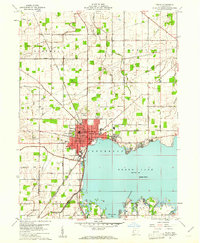 1960 Celina1961 Print · USGSMercer County life in the early sixties centers on the growing shoreline of Grand Lake and the hub of Celina. Trace historical family roots and old property lines using landmarks like North Grove Cemetery, Livingston PO, and the New York Chicago and St Louis RR.3 unique versions available
 - 1986 Map of Lima
 1986 Lima1986 Print · USGSWest Ohio and East Indiana are captured here in the mid-1980s, showcasing a landscape of productive farmland and industrial transit hubs. Genealogists and historians can trace the development of Lima and Van Wert or locate landmarks like Woodland Chapel and the Lima Ordnance Modification Center.3 unique versions available
 - 2010 Map of Celina, 2010 Print
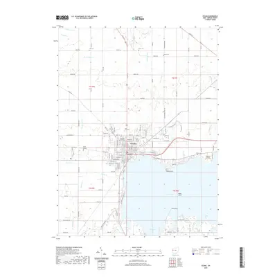
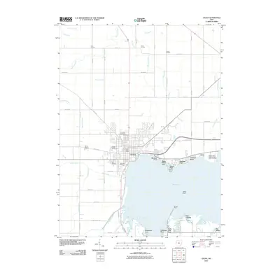 2010 Celina2010 Print · USGSCovers Harbor Point, including Celina, Bass Landing, and other nearby areas
 - 2013 Map of Celina, 2013 Print
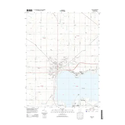 2013 Celina2013 Print · USGSCovers Harbor Point, including Celina, Bass Landing, and other nearby areas
 - 2016 Map of Celina, 2016 Print
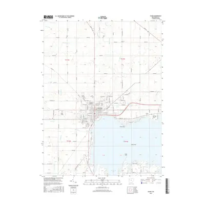 2016 Celina2016 Print · USGSCovers Harbor Point, including Celina, Bass Landing, and other nearby areas
 - 2019 Map of Celina, 2019 Print
 2019 Celina2019 Print · USGSCovers Harbor Point, including Celina, Bass Landing, and other nearby areas
 - 2023 Map of Celina, 2023 Print
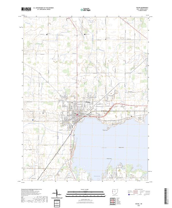 2023 Celina2023 Print · USGSCelina sits on the edge of the expansive Grand Lake in the 2020s, serving as a vital Mercer County hub. Genealogists can trace family lines through numerous sites like North Grove Cem and Oldtown Cem, or locate the Mercer County Courthouse.
End of results
Showing maps 1-11 of 11
Top cities near Harbor Point
- Celina historical maps
- Saint Marys historical maps
- Coldwater historical maps
- New Bremen historical maps
- Minster historical maps
- St. Henry historical maps
See more
Frequently asked questions
- What are the different types of historical maps available for Harbor Point?
- What is the oldest map of Harbor Point?
- Where can I purchase historical maps of Harbor Point for my home or office?
- Where can I download high-res historical maps of Harbor Point?
- Are there historical topographic maps available for Harbor Point?
- Is there historical aerial imagery available for Harbor Point?
- Where are historical maps of Harbor Point sourced from?