Old Maps of Mercer County, Ohio
Explore 30 old maps of Mercer County, spanning from 1908 to today. These high-resolution historic maps reveal how streets, neighborhoods, landmarks, and natural features evolved over time — perfect for genealogy, metal detecting, research, and local history exploration.
What you can do with these maps:
- See how Mercer County changed over time: Compare historical maps to modern-day views to trace roads, homesites, rail lines & more.
- View detailed metadata: Each map includes creators, publishers, year, scale, and archive source.
- Overlay maps with satellite & LiDAR: Visualize the past alongside modern tools to explore terrain & human change.
- Trusted historical sources: Maps sourced from the USGS, Library of Congress, and other archives.
- Access maps your way: View online, download high-res files, or order prints for personal or research use.
Start exploring old maps of Mercer County to uncover forgotten places, hidden landmarks, and the deep history beneath your feet.
Mercer County, OH maps
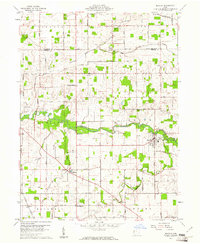
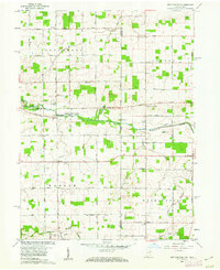
(30)- 1908 Map of St. Henry, 1944 Print
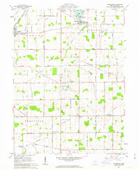
 1908 St. Henry1944 Print · USGSCovers Mercer County, including Coldwater, St. Henry, and other nearby areas
 - 1909 Map of Loramie, 1961 Print
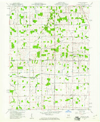
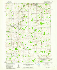
 1909 Loramie1961 Print · USGSCovers Mercer County, including New Bremen, Minster, and other nearby areas
 - 1911 Map of Loramie, 1936 Print
 1911 Loramie1936 Print · USGSCovers Mercer County, including New Bremen, Minster, and other nearby areas
 - 1911 Map of Spencerville, 1942 Print
 1911 Spencerville1942 Print · USGSCovers Mercer County, including Saint Marys, Spencerville, and other nearby areas
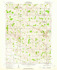
 - 1914 Map of Celina, 1942 Print
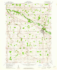
 1914 Celina1942 Print · USGSCovers Mercer County, including Celina, Rockford, and other nearby areas
 - 1915 Map of Fort Recovery
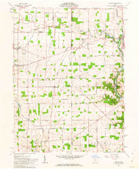
 1915 Fort Recovery1915 Print · USGSCovers Mercer County, including Portland, Fort Recovery, and other nearby areas2 unique versions available
 - 1918 Map of Fort Recovery, 1922 Print
 1918 Fort Recovery1922 Print · USGSCovers Mercer County, including Portland, Fort Recovery, and other nearby areas
 - 1944 Map of Loramie
 1944 Loramie1944 Print · USGSCovers Mercer County, including New Bremen, Minster, and other nearby areas
 - 1944 Map of Celina
 1944 Celina1944 Print · USGSCovers Mercer County, including Celina, Rockford, and other nearby areas
 - 1944 Map of Spencerville
 1944 Spencerville1944 Print · USGSCovers Mercer County, including Saint Marys, Spencerville, and other nearby areas
 - 1953 Map of Muncie, 1966 Print
 1953 Muncie1966 Print · USGSCovers Mercer County, including Fort Wayne, Fishers, and other nearby areas5 unique versions available
 - 1956 Map of Muncie
 1956 Muncie1956 Print · USGSCovers Mercer County, including Fort Wayne, Fishers, and other nearby areas
 - 1960 Map of Fort Recovery, 1961 Print
 1960 Fort Recovery1961 Print · USGSCovers Mercer County, including Fort Recovery, Noble, and other nearby areas2 unique versions available
 - 1960 Map of Celina, 1961 Print
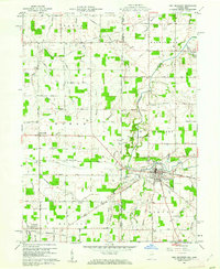
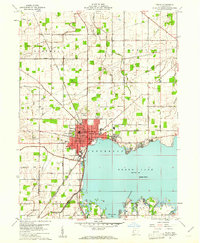 1960 Celina1961 Print · USGSCovers Mercer County, including Celina, Harbor Point, and other nearby areas3 unique versions available
 - 1960 Map of Erastus, 1961 Print
 1960 Erastus1961 Print · USGSCovers Mercer County, including Shively, Erastus, and other nearby areas2 unique versions available
 - 1960 Map of St. Marys, 1961 Print
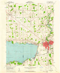 1960 St. Marys1961 Print · USGSCovers Mercer County, including Saint Marys, Hecht's Landing, and other nearby areas3 unique versions available
 - 1960 Map of Mendon, 1961 Print
 1960 Mendon1961 Print · USGSCovers Mercer County, including Mendon, Tama, and other nearby areas2 unique versions available
 - 1960 Map of Rockford, 1961 Print
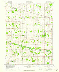
 1960 Rockford1961 Print · USGSCovers Mercer County, including Rockford, Bursville, and other nearby areas
 - 1960 Map of Cosmos, 1961 Print
 1960 Cosmos1961 Print · USGSCovers Mercer County, including Salem, Bucks Corner, and other nearby areas4 unique versions available
 - 1960 Map of Elgin, 1961 Print
 1960 Elgin1961 Print · USGSCovers Mercer County, including Elgin, Converse Station, and other nearby areas
 - 1960 Map of New Corydon, 1962 Print
 1960 New Corydon1962 Print · USGSCovers Mercer County, including Trinity, New Corydon, and other nearby areas3 unique versions available
 - 1960 Map of Willshire, 1964 Print
 1960 Willshire1964 Print · USGSCovers Mercer County, including Willshire, Chattanooga, and other nearby areas3 unique versions available
 - 1961 Map of Rossburg, 1962 Print
 1961 Rossburg1962 Print · USGSCovers Mercer County, including Rossburg, New Weston, and other nearby areas2 unique versions available
 - 1961 Map of Osgood, 1963 Print
 1961 Osgood1963 Print · USGSCovers Mercer County, including Fort Loramie, Osgood, and other nearby areas3 unique versions available
 - 1961 Map of Montezuma, 1963 Print
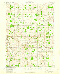
 1961 Montezuma1963 Print · USGSCovers Mercer County, including Coldwater, St. Henry, and other nearby areas3 unique versions available
Showing maps 1-25 of 30
Top cities of Mercer County
- Celina historical maps
- Coldwater historical maps
- St. Henry historical maps
- Fort Recovery historical maps
- Rockford historical maps
- Mendon historical maps
See more
Frequently asked questions
- What are the different types of historical maps available for Mercer County?
- What is the oldest map of Mercer County?
- Where can I purchase historical maps of Mercer County for my home or office?
- Where can I download high-res historical maps of Mercer County?
- Are there historical topographic maps available for Mercer County?
- Is there historical aerial imagery available for Mercer County?
- Where are historical maps of Mercer County sourced from?