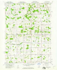
1960 Map of Cosmos
USGS Topo · Published 1961About this map
The Salamonie River and Mississinewa River define the agricultural landscape of this border region where Jay and Randolph counties in Indiana meet Darke and Mercer counties in Ohio. During the early 1960s, the area maintained a dense network of country roads and small communities, including Salem and the namesake Cosmos. The map reveals a countryside punctuated by local landmarks like the Pleasant Hill Speedway Ch and the Township Sch, alongside numerous family and community cemeteries such as Hoover Cem and Mt Zion Cem.
Find a feature on this map
65 named features on this map. Tap any name to fly to it.
Don’t see what you’re looking for? This feature index may not catch every label — zoom into the map to look around manually.
Map Details
Editions of this 1960 Cosmos Map
4 editions found
Other maps of this area

1908 · St. Henry
USGS Topo · 1:62,500
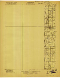
1915 · Fort Recovery
USGS Topo · 1:48,000
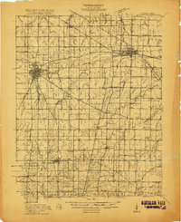
1916 · Winchester
USGS Topo · 1:48,000
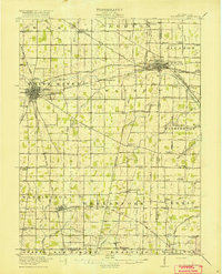
1918 · Winchester
USGS Topo · 1:62,500
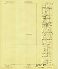
1918 · Fort Recovery
USGS Topo · 1:62,500
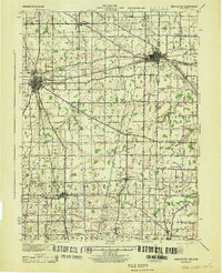
1943 · Winchester
USGS Topo · 1:62,500

1953 · Muncie
USGS Topo · 1:250,000

1956 · Muncie
USGS Topo · 1:250,000
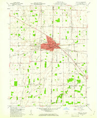
1960 · Union City
USGS Topo · 1:24,000
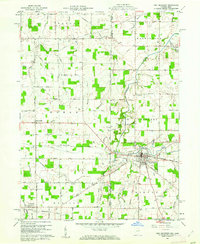
1960 · Fort Recovery
USGS Topo · 1:24,000