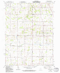
1960 Map of Cosmos
USGS Topo · Published 1994About this map
The Old Indian Treaty Bdy cuts diagonally across this landscape at the intersection of Indiana and Ohio, marking a historic survey line that still shapes the local road grid. Rural life in the mid-20th century centers on scattered farming communities like Salem and Cosmos, connected by a network of drainage channels such as Jordon Ditch and Simison Ditch. These man-made waterways emphasize the region's agricultural transition, draining the land toward the Mississinewa River and the Wabash River.
Find a feature on this map
56 named features on this map. Tap any name to fly to it.
Don’t see what you’re looking for? This feature index may not catch every label — zoom into the map to look around manually.
Map Details
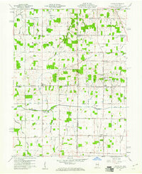
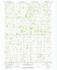
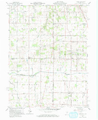
Editions of this 1960 Cosmos Map
4 editions found
Other maps of this area

1908 · St. Henry
USGS Topo · 1:62,500

1915 · Fort Recovery
USGS Topo · 1:48,000

1916 · Winchester
USGS Topo · 1:48,000

1918 · Winchester
USGS Topo · 1:62,500

1918 · Fort Recovery
USGS Topo · 1:62,500

1943 · Winchester
USGS Topo · 1:62,500

1953 · Muncie
USGS Topo · 1:250,000

1956 · Muncie
USGS Topo · 1:250,000

1960 · Union City
USGS Topo · 1:24,000

1960 · Fort Recovery
USGS Topo · 1:24,000