Old Maps of Huber Heights, Ohio for Hiking & Exploration
Hike through history with 33 historic maps of Huber Heights. Explore old trails, ghost towns, and forgotten backroads — perfect for outdoor adventurers and local explorers.
- Rediscover forgotten places: Map out old mining camps, roads, and footpaths that no longer exist on modern maps.
- Layer with modern tools: Combine with LiDAR or satellite views to plan hikes through historical terrain.
- Made for exploration: Popular among hikers, overlanders, and local history lovers.
Use these maps to find adventure and explore the hidden past of Huber Heights.
Huber Heights, OH maps
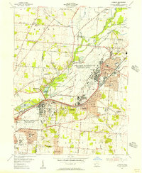
(33)- 1904 Map of Dayton, 1956 Print
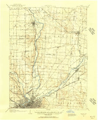 1904 Dayton1956 Print · USGSThe Miami Valley at the dawn of the 1900s shows a landscape transformed by the Miami and Erie Canal and a dense network of interurban electric railways. Researchers can trace historic river communities like Osborn and Tipp City or follow the early path of the National Road.
 - 1906 Map of Dayton, 1935 Print
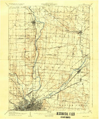 1906 Dayton1935 Print · USGSThe Dayton region in the early twentieth century shows a landscape transitioning from the canal era to the age of electric interurbans and railroads. Trace the original sites of Osborn and Fairfield or locate the path of the Miami and Erie Canal.2 unique versions available
 - 1953 Map of Cincinnati, 1965 Print
 1953 Cincinnati1965 Print · USGSThe Ohio River valley and the industrial heartland of Indiana and Ohio are captured here during the mid-century peak of rail and river commerce. Genealogists and historians can trace connections between Cincinnati and outlying military sites like Camp Atterbury and Bakalar AFB.3 unique versions available
 - 1955 Map of Tipp City, 1956 Print
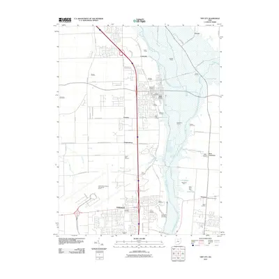
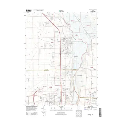
 1955 Tipp City1956 Print · USGSMiami County and Montgomery County meet along the river in the mid-fifties as the region transitions from its canal-era roots to a modern aviation hub. Genealogists can trace family landmarks like English Cemetery or Middle District Church while following the historic Miami and Erie Canal.
 - 1955 Map of New Carlisle, 1956 Print
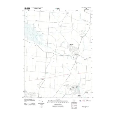
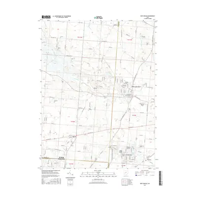
 1955 New Carlisle1956 Print · USGSIn the mid-1950s, the rural borderlands between Miami and Clark Counties centered on the growing town of New Carlisle. Genealogists and researchers can trace family landmarks like Walnut Grove Cem, McKendree Ch, and the many schools and cemeteries dotting the Honey Creek valley.4 unique versions available
 - 1955 Map of Fairborn, 1957 Print
 1955 Fairborn1957 Print · USGSGreene County is defined by the massive expansion of the Wright-Patterson Air Force Base during the mid-fifties. Researchers can trace the growth of Fairborn, locate the Wright Bros Memorial, and find family-named landmarks like the John Cox Cemetery.
 - 1955 Map of Dayton North, 1957 Print
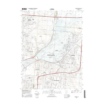
 1955 Dayton North1957 Print · USGSNorth Dayton and its river valleys are captured here in the mid-fifties, showing a landscape defined by flood control and post-war suburban growth. Genealogists and historians can locate the Orville Wright Home, the Quaker Cem, and local rail stops like Johnson Station.
 - 1957 Map of Cincinnati
 1957 Cincinnati1957 Print · USGSThe Ohio River valley and its surrounding highlands thrived during the mid-fifties industrial peak, centered on the bustling Cincinnati and Dayton metropolitan hubs. Researchers can trace the extensive rail networks and military sites like Wright-Patterson AFB and Camp Atterbury.
 - 1965 Map of Dayton North, 1967 Print
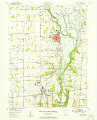
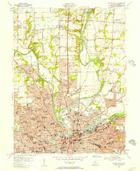
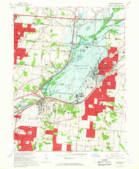
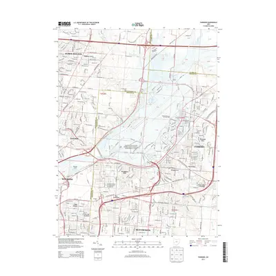
 1965 Dayton North1967 Print · USGSDayton and its northern suburbs underwent rapid mid-century growth where the Great Miami and Mad Rivers meet. Researchers can trace the development of Huber Heights, locate the Siena Sisters of Mercy Rest Home, or find early sites like Poplar Hill Cem.5 unique versions available
 - 1965 Map of Tipp City, 1967 Print
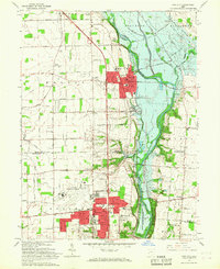 1965 Tipp City1967 Print · USGSMiami County's river valley transition is captured here in the mid-sixties as Vandalia and Tipp City expand toward the Dayton Municipal Airport. Researchers can trace old family landmarks and rural hubs like Pearson Cem, Ginghamsburg, and the Middle District Sch.4 unique versions available
 - 1965 Map of Fairborn, 1967 Print
 1965 Fairborn1967 Print · USGSThe Dayton suburbs and Fairborn area undergo rapid postwar expansion during the mid-sixties, centered on the massive Wright-Patterson Air Force Base. Researchers can trace the early layout of Wright State University and vanished rail stops along the Erie Lackawanna.6 unique versions available
 - 1986 Map of Dayton
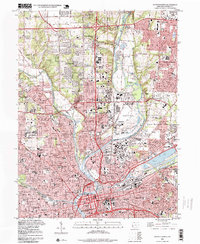
 1986 Dayton1986 Print · USGSThe Miami Valley and the Indiana-Ohio borderlands reached a peak of suburban and industrial connectivity in the mid-eighties. Genealogists and historians can trace family burial sites at Miami Memorial Garden (Cem) and the development surrounding Wright-Patterson Air Force Base.2 unique versions available
 - 1996 Map of Dayton North, 1999 Print
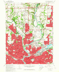
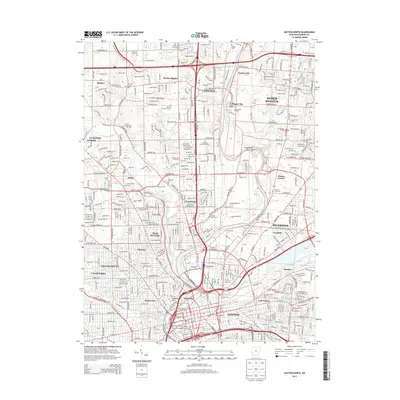
 1996 Dayton North1999 Print · USGSNorth Dayton and its neighboring townships come alive in the late nineties as a bustling hub of river-confluence industry and suburban growth. Researchers can trace the layout of Sinclair College, locate the Dayton Memorial Park (Cemetery), and see the footprint of Wright-Patterson Air Force Base.
 - 2010 Map of Dayton North, 2010 Print
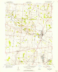
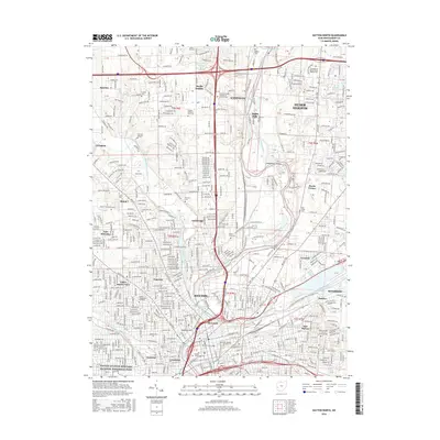
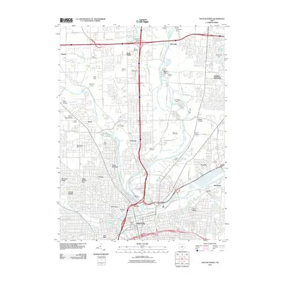 2010 Dayton North2010 Print · USGSCovers Huber Heights, including Dayton, Riverside, and other nearby areas
 - 2010 Map of Fairborn, 2010 Print
 2010 Fairborn2010 Print · USGSCovers Huber Heights, including Dayton, Beavercreek, and other nearby areas
 - 2010 Map of Tipp City, 2010 Print
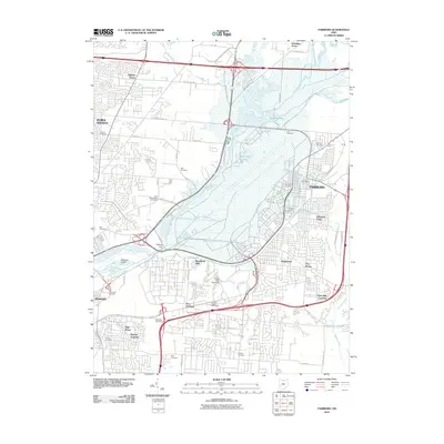
 2010 Tipp City2010 Print · USGSCovers Huber Heights, including Dayton, Vandalia, and other nearby areas
 - 2010 Map of New Carlisle, 2010 Print
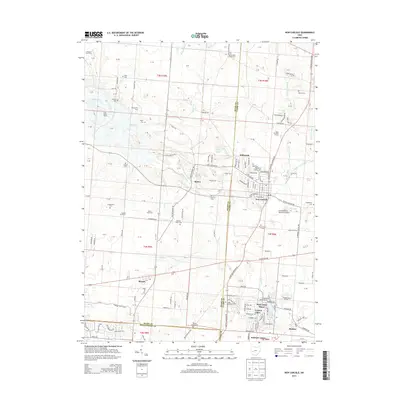
 2010 New Carlisle2010 Print · USGSCovers Huber Heights, including New Carlisle, Brown, and other nearby areas
 - 2013 Map of New Carlisle, 2013 Print
 2013 New Carlisle2013 Print · USGSCovers Huber Heights, including New Carlisle, Brown, and other nearby areas
 - 2013 Map of Tipp City, 2013 Print
 2013 Tipp City2013 Print · USGSCovers Huber Heights, including Dayton, Vandalia, and other nearby areas
 - 2013 Map of Fairborn, 2013 Print
 2013 Fairborn2013 Print · USGSCovers Huber Heights, including Dayton, Beavercreek, and other nearby areas
 - 2013 Map of Dayton North, 2013 Print
 2013 Dayton North2013 Print · USGSCovers Huber Heights, including Dayton, Riverside, and other nearby areas
 - 2016 Map of Fairborn, 2016 Print
 2016 Fairborn2016 Print · USGSCovers Huber Heights, including Dayton, Beavercreek, and other nearby areas
 - 2016 Map of Tipp City, 2016 Print
 2016 Tipp City2016 Print · USGSCovers Huber Heights, including Dayton, Vandalia, and other nearby areas
 - 2016 Map of New Carlisle, 2016 Print
 2016 New Carlisle2016 Print · USGSCovers Huber Heights, including New Carlisle, Brown, and other nearby areas
 - 2016 Map of Dayton North, 2016 Print
 2016 Dayton North2016 Print · USGSCovers Huber Heights, including Dayton, Riverside, and other nearby areas
Showing maps 1-25 of 33
Top cities near Huber Heights
- Dayton historical maps
- Kettering historical maps
- Beavercreek historical maps
- Fairborn historical maps
- Trotwood historical maps
- Xenia historical maps
See more
Top neighborhoods of Huber Heights
Frequently asked questions
- What are the different types of historical maps available for Huber Heights?
- What is the oldest map of Huber Heights?
- Where can I purchase historical maps of Huber Heights for my home or office?
- Where can I download high-res historical maps of Huber Heights?
- Are there historical topographic maps available for Huber Heights?
- Is there historical aerial imagery available for Huber Heights?
- Where are historical maps of Huber Heights sourced from?