Old Maps of Swanktown, Ohio for Academic Research
Study the evolution of Swanktown with 10 high-resolution historic maps. Whether you're teaching, researching, or modeling changes in land use, these maps provide essential visual documentation of urban, environmental, and geographic change.
- Analyze long-term change: Track patterns in development, transportation, and natural features.
- Ideal for environmental or urban studies: Support academic projects with primary historical map data.
- Use in the classroom or lab: Educators and researchers rely on these maps to bring historical context to life.
These maps are a powerful tool for teaching, research, and visualizing how Swanktown has changed over the decades.
Swanktown, OH maps
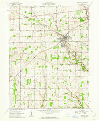
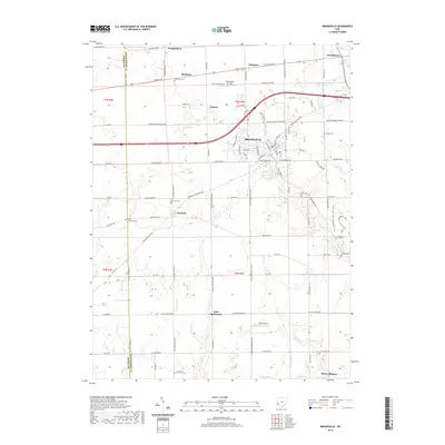
(10)- 1905 Map of Brookville, 1953 Print
 1905 Brookville1953 Print · USGSWestern Montgomery County in the early 1900s shows a landscape of rail-connected farming towns and early river management. Trace the path of the historic National Road through Arlington or locate family sites near Shiloh Church and Harshbarger Schoolhouse.
 - 1953 Map of Cincinnati, 1965 Print
 1953 Cincinnati1965 Print · USGSThe Ohio River valley and the industrial heartland of Indiana and Ohio are captured here during the mid-century peak of rail and river commerce. Genealogists and historians can trace connections between Cincinnati and outlying military sites like Camp Atterbury and Bakalar AFB.3 unique versions available
 - 1957 Map of Cincinnati
 1957 Cincinnati1957 Print · USGSThe Ohio River valley and its surrounding highlands thrived during the mid-fifties industrial peak, centered on the bustling Cincinnati and Dayton metropolitan hubs. Researchers can trace the extensive rail networks and military sites like Wright-Patterson AFB and Camp Atterbury.
 - 1961 Map of Brookville, 1962 Print
 1961 Brookville1962 Print · USGSBrookville and the surrounding townships of Montgomery and Preble counties appear here in the early 1960s as the regional rail and road networks matured. Genealogists can locate family sites near Wolf Creek Ch, Pleasant Hill Cem, and the crossroads at Pyrmont.3 unique versions available
 - 1986 Map of Dayton
 1986 Dayton1986 Print · USGSThe Miami Valley and the Indiana-Ohio borderlands reached a peak of suburban and industrial connectivity in the mid-eighties. Genealogists and historians can trace family burial sites at Miami Memorial Garden (Cem) and the development surrounding Wright-Patterson Air Force Base.2 unique versions available
 - 2010 Map of Brookville, 2010 Print
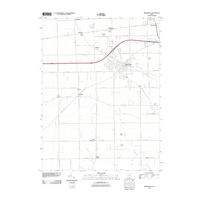 2010 Brookville2010 Print · USGSCovers Swanktown, including Brookville, New Lebanon, and other nearby areas
 - 2013 Map of Brookville, 2013 Print
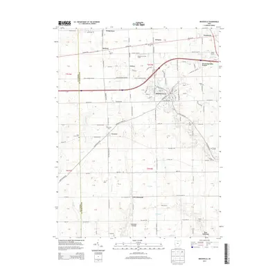 2013 Brookville2013 Print · USGSCovers Swanktown, including Brookville, New Lebanon, and other nearby areas
 - 2016 Map of Brookville, 2016 Print
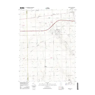 2016 Brookville2016 Print · USGSCovers Swanktown, including Brookville, New Lebanon, and other nearby areas
 - 2019 Map of Brookville, 2019 Print
 2019 Brookville2019 Print · USGSCovers Swanktown, including Brookville, New Lebanon, and other nearby areas
 - 2023 Map of Brookville, 2023 Print
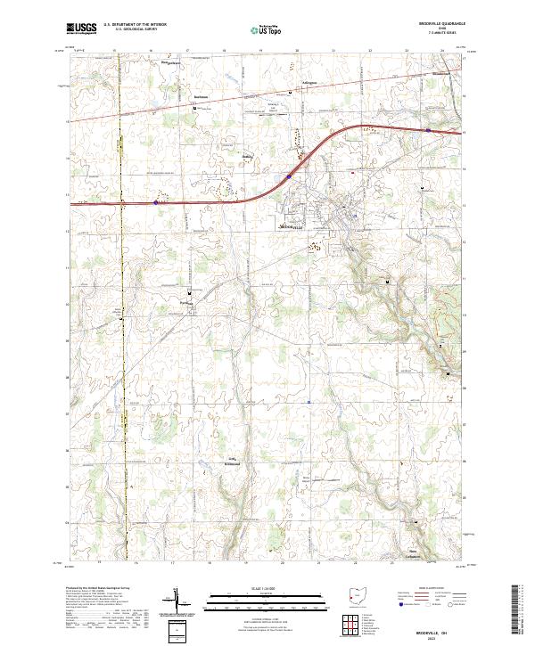 2023 Brookville2023 Print · USGSThe Brookville area at the turn of the 2020s shows a landscape of steady townships and family legacy. Researchers can trace numerous ancestral sites like Bachman Cem and Shiloh Lutheran Cem or follow the paths of Wysong Run and Bear Creek.
End of results
Showing maps 1-10 of 10
Top cities near Swanktown
- Dayton historical maps
- Kettering historical maps
- Huber Heights historical maps
- Trotwood historical maps
- Centerville historical maps
- Riverside historical maps
See more
Frequently asked questions
- What are the different types of historical maps available for Swanktown?
- What is the oldest map of Swanktown?
- Where can I purchase historical maps of Swanktown for my home or office?
- Where can I download high-res historical maps of Swanktown?
- Are there historical topographic maps available for Swanktown?
- Is there historical aerial imagery available for Swanktown?
- Where are historical maps of Swanktown sourced from?