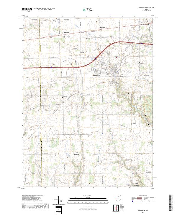
2023 Map of Brookville
USGS Topo · Published 2023About this map
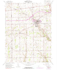
Brookville serves as the primary hub in this western Ohio landscape, situated where the interstate corridor intersects local routes like Salem St and Market St. The map details a transition from the structured street grid of the town center to the surrounding agricultural plains of Montgomery and Preble Counties. Smaller clusters of settlement such as Wengerlawn, Pyrmont, and Little Richmond are scattered across the township, connected by a network of rural roads that follow the section lines of the Public Land Survey System.
Find a feature on this map
83 named features on this map. Tap any name to fly to it.
Don’t see what you’re looking for? This feature index may not catch every label — zoom into the map to look around manually.
Map Details
Editions of this 2023 Brookville Map
This is the sole edition of this map. No revisions or reprints were ever made.
Historical Maps of Swanktown Through Time
3 maps found