
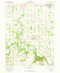
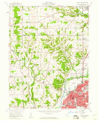
1960 Map of Farmersville
USGS Topo · Published 1962About this map
Twin Creek and Little Twin Creek carve a winding path through the landscape of western Montgomery County, where the Germantown Dam and the Miami Conservancy District (Germantown Reserve) manage the local watershed. This topography is defined by the transition from open agricultural fields to the densely wooded slopes along the creek beds, featuring a notable Indian Mound that speaks to the area's deep history. The settlement of Farmersville sits centrally at the crossroads of several major routes like the Farmersville Dayton Road, while New Lebanon anchors the northern edge of the sheet. Numerous rural landmarks, including the Township Sch, Slifers Ch, and Berea Chapel, are preserved in their mid-century context, providing essential details for those tracing local family roots and early school districts in Jackson and German townships.
Find a feature on this map
59 named features on this map. Tap any name to fly to it.
Don’t see what you’re looking for? This feature index may not catch every label — zoom into the map to look around manually.
Map Details
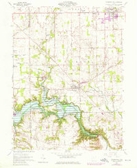
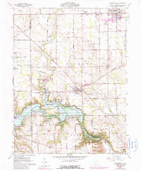
Editions of this 1960 Farmersville Map
4 editions found
Other maps of this area

1905 · Brookville
USGS Topo · 1:62,500

1908 · Miamisburg
USGS Topo · 1:62,500

1911 · Oxford
USGS Topo · 1:62,500

1951 · Franklin
USGS Topo · 1:24,000

1953 · Cincinnati
USGS Topo · 1:250,000

1955 · Miamisburg
USGS Topo · 1:24,000
1955 · Trotwood
USGS Topo · 1:24,000

1957 · Cincinnati
USGS Topo · 1:250,000
1959 · Middletown
USGS Topo · 1:24,000

1961 · Lewisburg
USGS Topo · 1:24,000