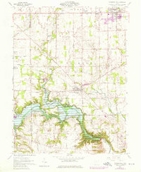
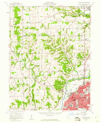
1960 Map of Farmersville
USGS Topo · Published 1976About this map
Twin Creek and Little Twin Creek carve through the agricultural heart of southwestern Ohio, defining a landscape of varied elevation and historic land parcels. This 1960s study, updated in the 1970s, captures the settled character of the area surrounding Farmersville and New Lebanon. In the south, the Miami Conservancy District Germantown Reserve marks a significant effort in water management and conservation, situated near the village of Germantown.
Find a feature on this map
51 named features on this map. Tap any name to fly to it.
Don’t see what you’re looking for? This feature index may not catch every label — zoom into the map to look around manually.
Map Details
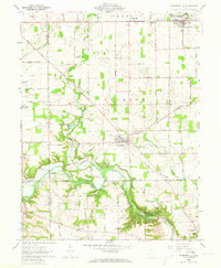
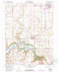
Editions of this 1960 Farmersville Map
4 editions found
Other maps of this area

1905 · Brookville
USGS Topo · 1:62,500

1908 · Miamisburg
USGS Topo · 1:62,500

1911 · Oxford
USGS Topo · 1:62,500

1951 · Franklin
USGS Topo · 1:24,000

1953 · Cincinnati
USGS Topo · 1:250,000

1955 · Miamisburg
USGS Topo · 1:24,000
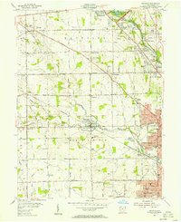
1955 · Trotwood
USGS Topo · 1:24,000

1957 · Cincinnati
USGS Topo · 1:250,000
1959 · Middletown
USGS Topo · 1:24,000

1960 · Farmersville
USGS Topo · 1:24,000