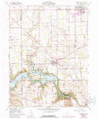
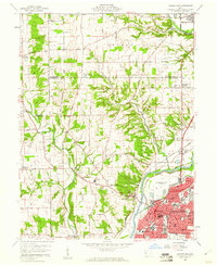
1960 Map of Farmersville
USGS Topo · Published 1990About this map
The agricultural landscape of western Montgomery County and eastern Preble County centers on the village of Farmersville, situated at the intersection of rural roads and the Penn Central rail line. This 1960s survey, updated with 1970s aerial data, reveals a community anchored by local landmarks such as the Township Sch and several country churches, including St Johns Ch and Slifers Ch. The terrain is defined by the winding course of Twin Creek and Little Twin Creek, which carve through the southern portion of the quadrangle.
Find a feature on this map
47 named features on this map. Tap any name to fly to it.
Don’t see what you’re looking for? This feature index may not catch every label — zoom into the map to look around manually.
Map Details
Editions of this 1960 Farmersville Map
4 editions found
Other maps of this area

1905 · Brookville
USGS Topo · 1:62,500

1908 · Miamisburg
USGS Topo · 1:62,500

1911 · Oxford
USGS Topo · 1:62,500

1951 · Franklin
USGS Topo · 1:24,000

1953 · Cincinnati
USGS Topo · 1:250,000

1955 · Miamisburg
USGS Topo · 1:24,000
1955 · Trotwood
USGS Topo · 1:24,000

1957 · Cincinnati
USGS Topo · 1:250,000
1959 · Middletown
USGS Topo · 1:24,000

1960 · Farmersville
USGS Topo · 1:24,000