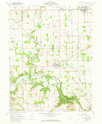
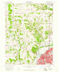
1960 Map of Farmersville
USGS Topo · Published 1973About this map
The agricultural landscape of western Montgomery County and eastern Preble County is anchored by the rural villages of Farmersville and New Lebanon during the early 1960s. This survey details the complex network of country roads, including Halderman Road and Spitler Road, which connect isolated farmsteads and historic religious sites like Slifers Ch and St Johns Ch. A significant portion of the southeastern terrain is shaped by the Miami Conservancy District (Germantown Reserve), designed for flood control along Twin Creek. The topography reveals deep-seated history in the form of an Indian Mound overlooking Anthony Run, while more modern recreational and industrial landmarks appear at Camp Miami and the Airstrip. The New York Central rail line cuts across the northeast, facilitating the transport of goods from this fertile valley toward larger urban centers.
Find a feature on this map
46 named features on this map. Tap any name to fly to it.
Don’t see what you’re looking for? This feature index may not catch every label — zoom into the map to look around manually.
Map Details
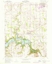
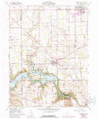
Editions of this 1960 Farmersville Map
4 editions found
Other maps of this area

1905 · Brookville
USGS Topo · 1:62,500

1908 · Miamisburg
USGS Topo · 1:62,500

1911 · Oxford
USGS Topo · 1:62,500

1951 · Franklin
USGS Topo · 1:24,000

1953 · Cincinnati
USGS Topo · 1:250,000

1955 · Miamisburg
USGS Topo · 1:24,000
1955 · Trotwood
USGS Topo · 1:24,000

1957 · Cincinnati
USGS Topo · 1:250,000
1959 · Middletown
USGS Topo · 1:24,000

1960 · Farmersville
USGS Topo · 1:24,000