Old Maps of Frazeysburg, Ohio for Academic Research
Study the evolution of Frazeysburg with 22 high-resolution historic maps. Whether you're teaching, researching, or modeling changes in land use, these maps provide essential visual documentation of urban, environmental, and geographic change.
- Analyze long-term change: Track patterns in development, transportation, and natural features.
- Ideal for environmental or urban studies: Support academic projects with primary historical map data.
- Use in the classroom or lab: Educators and researchers rely on these maps to bring historical context to life.
These maps are a powerful tool for teaching, research, and visualizing how Frazeysburg has changed over the decades.
Frazeysburg, OH maps
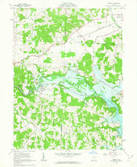
(22)- 1910 Map of Frazeysburg, 1937 Print
 1910 Frazeysburg1937 Print · USGSMuskingum and Licking Counties are captured here during a pivotal era of rail dominance and canal obsolescence. Researchers can locate vanished rural schoolhouses like Pisgah School or trace the early paths of the Ohio Canal near Dresden.2 unique versions available
 - 1950 Map of Marion
 1950 Marion1950 Print · USGSCentral Ohio was a powerhouse of rail and river industry at the mid-century point, serving as a vital corridor between the Great Lakes and the Ohio River valley. Genealogists and rail historians can trace the paths of the Erie RR and Nickel Plate Road through towns like Bucyrus, Galion, and Upper Sandusky.
 - 1962 Map of Marion
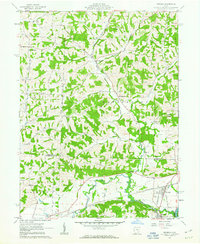
 1962 Marion1962 Print · USGSCentral Ohio during the post-war era showcases a dense network of railroad towns and emerging interstate highways. Genealogists can trace family roots in smaller settlements like Houcktown and Marseilles or locate landmarks near Indian Lake.
 - 1962 Map of Toboso, 1963 Print
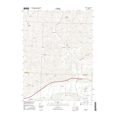
 1962 Toboso1963 Print · USGSMuskingum County at the start of the 1960s reveals a landscape defined by the river and the rail. Genealogists and historians can trace family locations near Stone Ch and Irville, or follow the path of the Baltimore and Ohio Railroad through the Licking Gorge.4 unique versions available
 - 1962 Map of Dresden, 1963 Print
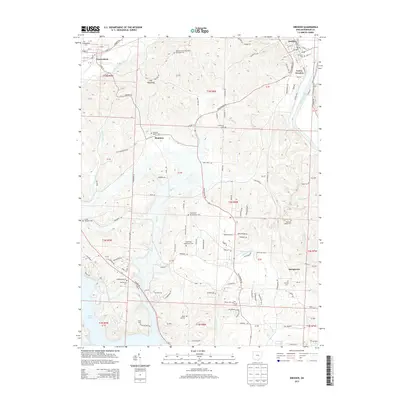
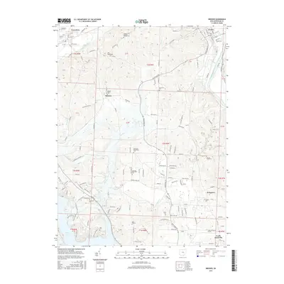
 1962 Dresden1963 Print · USGSThe Muskingum and Licking river valleys are captured here in the early sixties as new water projects and industry reshaped the terrain. Trace local history at Dresden or search for family roots at Irville-Nashport Cem, Nashport Sch, and Shannon.4 unique versions available
 - 1962 Map of Trinway, 1963 Print
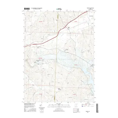
 1962 Trinway1963 Print · USGSThe Muskingum River valley and its complex rail junctions define this corner of Ohio in the early sixties. Genealogists can trace family landmarks like Mt Zion Cem, Broomstick Cem, and the old church at Wakatomika.4 unique versions available
 - 1966 Map of Marion, 1968 Print
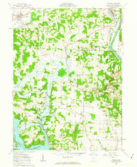
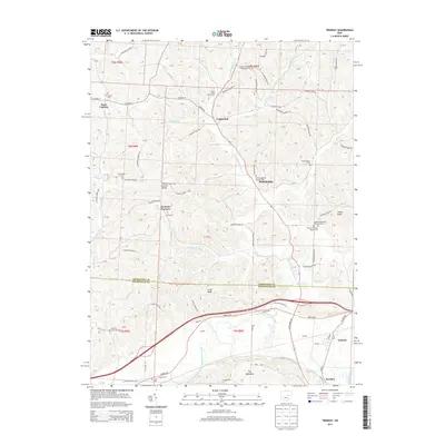
 1966 Marion1968 Print · USGSCentral Ohio in the mid-sixties is captured during a period of rapid highway expansion and industrial connectivity. Genealogists and historians can trace rail-and-river networks through towns like Marion, Urbana, and Mount Vernon, or locate landmarks such as Malabar Farm and Black Hand Rock.3 unique versions available
 - 2010 Map of Trinway, 2010 Print
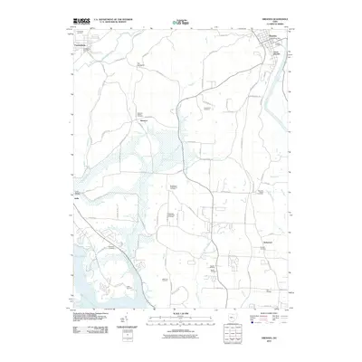
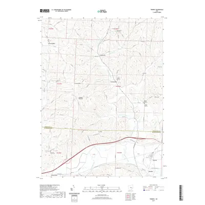
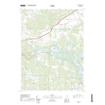
 2010 Trinway2010 Print · USGSCovers Frazeysburg, including Dresden, Virginia Township, and other nearby areas
 - 2010 Map of Dresden, 2010 Print
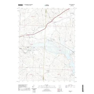
 2010 Dresden2010 Print · USGSCovers Frazeysburg, including Zanesville, Dresden, and other nearby areas
 - 2010 Map of Toboso, 2010 Print
 2010 Toboso2010 Print · USGSCovers Frazeysburg, including Black Run, Irville, and other nearby areas
 - 2013 Map of Toboso, 2013 Print
 2013 Toboso2013 Print · USGSCovers Frazeysburg, including Black Run, Irville, and other nearby areas
 - 2013 Map of Trinway, 2013 Print
 2013 Trinway2013 Print · USGSCovers Frazeysburg, including Dresden, Virginia Township, and other nearby areas
 - 2013 Map of Dresden, 2013 Print
 2013 Dresden2013 Print · USGSCovers Frazeysburg, including Zanesville, Dresden, and other nearby areas
 - 2016 Map of Toboso, 2016 Print
 2016 Toboso2016 Print · USGSCovers Frazeysburg, including Black Run, Irville, and other nearby areas
 - 2016 Map of Trinway, 2016 Print
 2016 Trinway2016 Print · USGSCovers Frazeysburg, including Dresden, Virginia Township, and other nearby areas
 - 2016 Map of Dresden, 2016 Print
 2016 Dresden2016 Print · USGSCovers Frazeysburg, including Zanesville, Dresden, and other nearby areas
 - 2019 Map of Trinway, 2019 Print
 2019 Trinway2019 Print · USGSCovers Frazeysburg, including Dresden, Virginia Township, and other nearby areas
 - 2019 Map of Toboso, 2019 Print
 2019 Toboso2019 Print · USGSCovers Frazeysburg, including Black Run, Irville, and other nearby areas
 - 2019 Map of Dresden, 2019 Print
 2019 Dresden2019 Print · USGSCovers Frazeysburg, including Zanesville, Dresden, and other nearby areas
 - 2023 Map of Dresden, 2023 Print
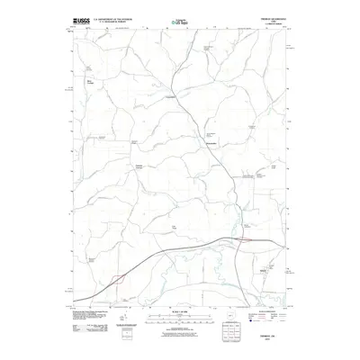
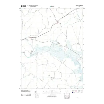
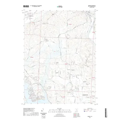
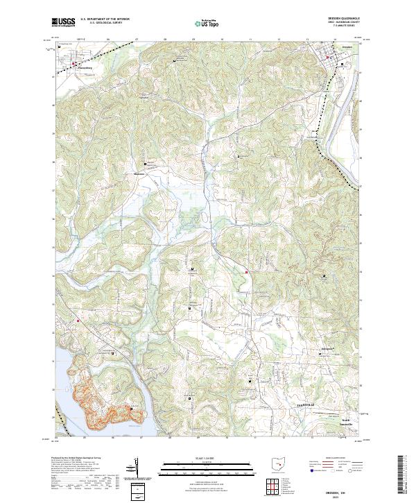 2023 Dresden2023 Print · USGSMuskingum County at the start of the 2020s shows the enduring landscape of Dresden and Frazeysburg along the river and creek valleys. Genealogists can trace family heritage through isolated sites like Mattingly Settlement Cem and Black Log Cem.
 - 2023 Map of Trinway, 2023 Print
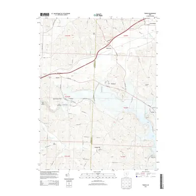
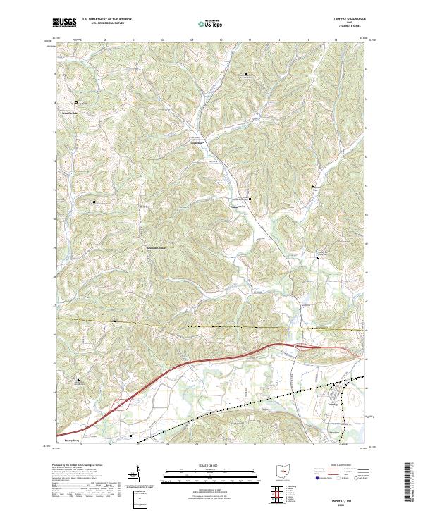 2023 Trinway2023 Print · USGSThe Muskingum and Coshocton county line comes alive in this survey of the river valleys and ridges near Trinway and Dresden. Genealogists can trace family footprints at Broomstick Cem, Chalfant Meeting House Cem, and West Carlisle Cem.
 - 2023 Map of Toboso, 2023 Print
 2023 Toboso2023 Print · USGSThe Licking River valley in Muskingum County remains a landscape of high ridges and narrow gorges as it appeared in recent years. Researchers can trace local heritage through numerous sites like Old Stone Church of Christ Cem, Toboso, and the landmark Black Hand Rock.
End of results
Showing maps 1-22 of 22
Top cities near Frazeysburg
- Zanesville historical maps
- Coshocton historical maps
- Hopewell historical maps
- South Zanesville historical maps
- Dresden historical maps
- Hanover historical maps
See more
Frequently asked questions
- What are the different types of historical maps available for Frazeysburg?
- What is the oldest map of Frazeysburg?
- Where can I purchase historical maps of Frazeysburg for my home or office?
- Where can I download high-res historical maps of Frazeysburg?
- Are there historical topographic maps available for Frazeysburg?
- Is there historical aerial imagery available for Frazeysburg?
- Where are historical maps of Frazeysburg sourced from?