2000s (21st Century) Maps of Caldwell, Ohio
Explore 20 historic maps of Caldwell from the 2000s (21st Century). These maps offer a rare glimpse into what life looked like during the 2000s — showing old roads, neighborhoods, homes, and landmarks that have changed or disappeared over time.
Whether you're researching your family's past, planning a metal detecting trip, or studying how Caldwell's landscape evolved across the 2000s, these high-resolution maps are a powerful tool for exploring the history of this region.
- Focus on a specific era: All maps on this page are from the 2000s, giving you a focused view of this time period.
- See what’s changed: Compare century-old streets, trails, and buildings to today's modern landscape using overlays and satellite layers.
- Research with precision: Use these maps for genealogy, historical research, land use analysis, or educational projects.
- View, download, or print: Maps are fully viewable online in high resolution, and can be downloaded or printed for your own records.
Start exploring Caldwell's history through authentic maps from the 2000s. This is your window into the past.
Caldwell, OH maps
(20)- 2010 Map of Caldwell South, 2010 Print
 2010 Caldwell South2010 Print · USGSCovers Caldwell, including Sharon, Three Forks, and other nearby areas
 - 2010 Map of Sarahsville, 2010 Print
 2010 Sarahsville2010 Print · USGSCovers Caldwell, including Sarahsville, East Union, and other nearby areas
 - 2010 Map of Caldwell North, 2010 Print
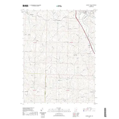
 2010 Caldwell North2010 Print · USGSCovers Caldwell, including Belle Valley, Rochester, and other nearby areas
 - 2010 Map of Macksburg, 2010 Print
 2010 Macksburg2010 Print · USGSCovers Caldwell, including Macksburg, Dexter City, and other nearby areas
 - 2013 Map of Caldwell North, 2013 Print
 2013 Caldwell North2013 Print · USGSCovers Caldwell, including Belle Valley, Rochester, and other nearby areas
 - 2013 Map of Sarahsville, 2013 Print
 2013 Sarahsville2013 Print · USGSCovers Caldwell, including Sarahsville, East Union, and other nearby areas
 - 2013 Map of Caldwell South, 2013 Print
 2013 Caldwell South2013 Print · USGSCovers Caldwell, including Sharon, Three Forks, and other nearby areas
 - 2013 Map of Macksburg, 2013 Print
 2013 Macksburg2013 Print · USGSCovers Caldwell, including Macksburg, Dexter City, and other nearby areas
 - 2016 Map of Sarahsville, 2016 Print
 2016 Sarahsville2016 Print · USGSCovers Caldwell, including Sarahsville, East Union, and other nearby areas
 - 2016 Map of Macksburg, 2016 Print
 2016 Macksburg2016 Print · USGSCovers Caldwell, including Macksburg, Dexter City, and other nearby areas
 - 2016 Map of Caldwell South, 2016 Print
 2016 Caldwell South2016 Print · USGSCovers Caldwell, including Sharon, Three Forks, and other nearby areas
 - 2016 Map of Caldwell North, 2016 Print
 2016 Caldwell North2016 Print · USGSCovers Caldwell, including Belle Valley, Rochester, and other nearby areas
 - 2019 Map of Sarahsville, 2019 Print
 2019 Sarahsville2019 Print · USGSCovers Caldwell, including Sarahsville, East Union, and other nearby areas
 - 2019 Map of Macksburg, 2019 Print
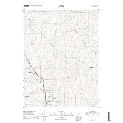 2019 Macksburg2019 Print · USGSCovers Caldwell, including Macksburg, Dexter City, and other nearby areas
 - 2019 Map of Caldwell North, 2019 Print
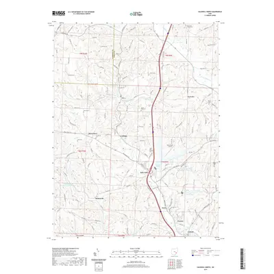 2019 Caldwell North2019 Print · USGSCovers Caldwell, including Belle Valley, Rochester, and other nearby areas
 - 2019 Map of Caldwell South, 2019 Print
 2019 Caldwell South2019 Print · USGSCovers Caldwell, including Sharon, Three Forks, and other nearby areas
 - 2023 Map of Sarahsville, 2023 Print
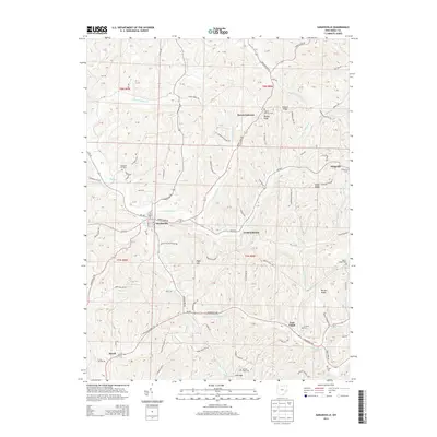
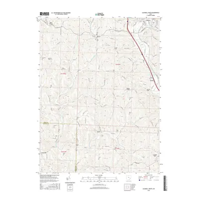
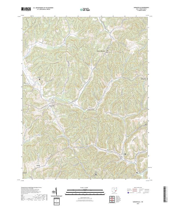 2023 Sarahsville2023 Print · USGSNoble County's ridge-and-valley landscape is documented here in the early twenty-first century, centered on the historic village of Sarahsville. Researchers can locate several remote burial grounds and small settlements including Mount Ephraim, Old Mount Ephraim Cem, and Whigville.
 - 2023 Map of Macksburg, 2023 Print
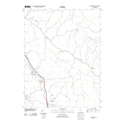
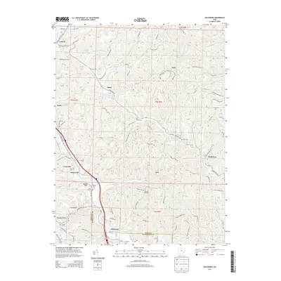
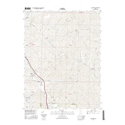
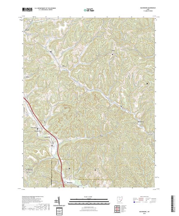 2023 Macksburg2023 Print · USGSThe hill country of Noble and Washington Counties is captured here in the early 21st century, showing a landscape of small creek-side settlements. Genealogists can locate numerous burial grounds like Dexter City Cem and Harris Cem alongside landmarks like Old Tom Ridge.
 - 2023 Map of Caldwell South, 2023 Print
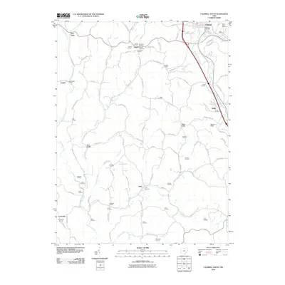
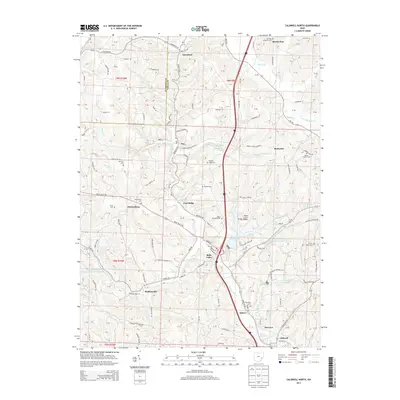
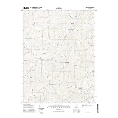
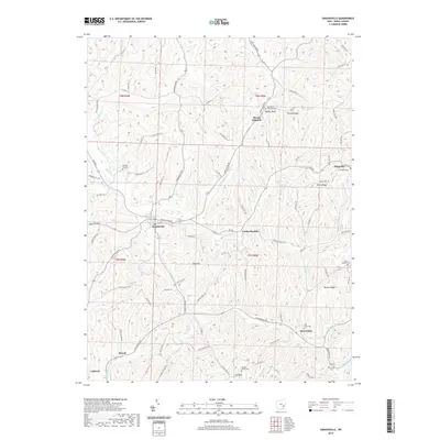
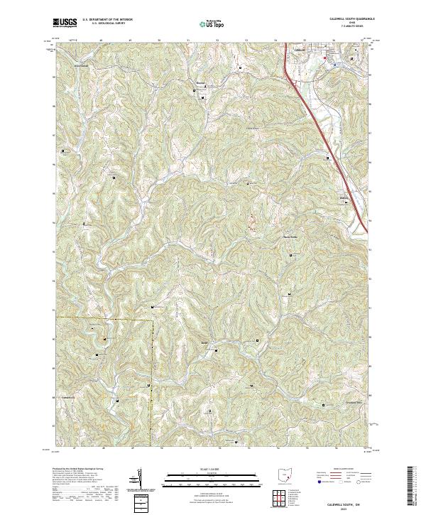 2023 Caldwell South2023 Print · USGSSoutheast Ohio's ridge-and-valley landscape is documented here in recent years, centered on the county seat at Caldwell. Genealogists can trace dozens of family landmarks like Swickard Cem, Danford Cem, and the Noble County Courthouse.
 - 2023 Map of Caldwell North, 2023 Print
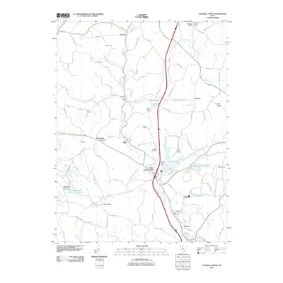
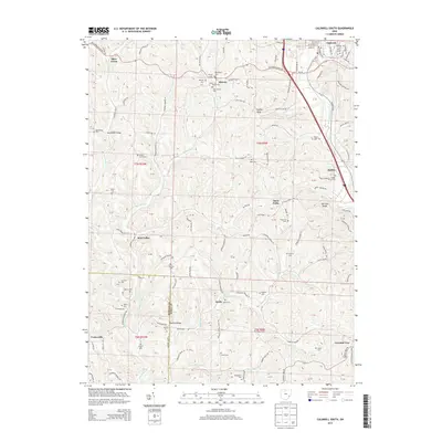
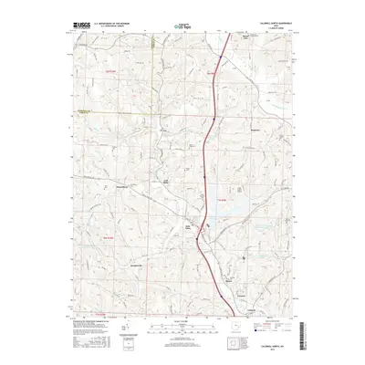
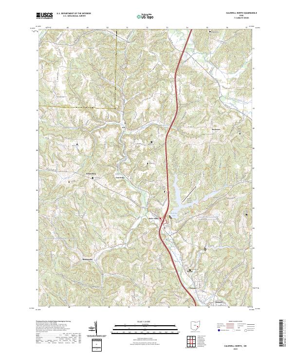 2023 Caldwell North2023 Print · USGSThe hills and valleys of Noble County are meticulously detailed in this modern survey of the area north of Caldwell. Researchers can pinpoint numerous rural burial sites like Saint Michaels Cem and tracing the course of the Johnny Woods River.
End of results
Showing maps 1-20 of 20
Top cities near Caldwell
- Waterford historical maps
- Byesville historical maps
- Beverly historical maps
- Lowell historical maps
- Quaker City historical maps
- Senecaville historical maps
See more
Frequently asked questions
- What are the different types of historical maps available for Caldwell?
- What is the oldest map of Caldwell?
- Where can I purchase historical maps of Caldwell for my home or office?
- Where can I download high-res historical maps of Caldwell?
- Are there historical topographic maps available for Caldwell?
- Is there historical aerial imagery available for Caldwell?
- Where are historical maps of Caldwell sourced from?