2000s (21st Century) Maps of Ottawa County, Ohio
Explore 79 historic maps of Ottawa County from the 2000s (21st Century). These maps offer a rare glimpse into what life looked like during the 2000s — showing old roads, neighborhoods, homes, and landmarks that have changed or disappeared over time.
Whether you're researching your family's past, planning a metal detecting trip, or studying how Ottawa County's landscape evolved across the 2000s, these high-resolution maps are a powerful tool for exploring the history of this region.
- Focus on a specific era: All maps on this page are from the 2000s, giving you a focused view of this time period.
- See what’s changed: Compare century-old streets, trails, and buildings to today's modern landscape using overlays and satellite layers.
- Research with precision: Use these maps for genealogy, historical research, land use analysis, or educational projects.
- View, download, or print: Maps are fully viewable online in high resolution, and can be downloaded or printed for your own records.
Start exploring Ottawa County's history through authentic maps from the 2000s. This is your window into the past.
Ottawa County, OH maps
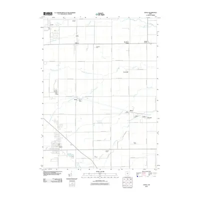
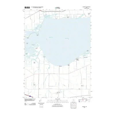
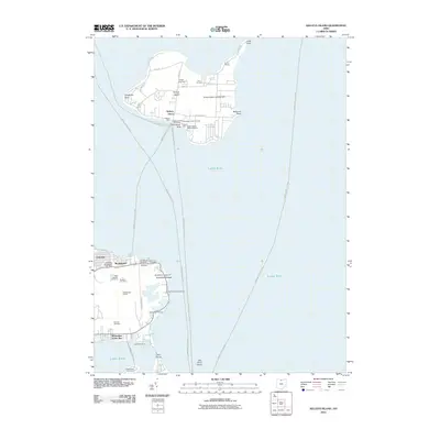
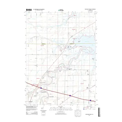
(79)- 2010 Map of Wightmans Grove, 2010 Print
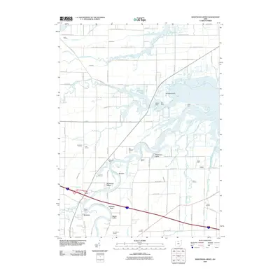 2010 Wightmans Grove2010 Print · USGSCovers Ottawa County, including Fremont, Upton, and other nearby areas
 - 2010 Map of Walbridge, 2010 Print
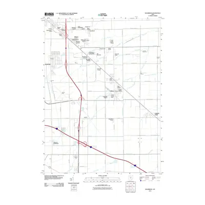 2010 Walbridge2010 Print · USGSCovers Ottawa County, including Oregon, Northwood, and other nearby areas
 - 2010 Map of Lacarne, 2010 Print
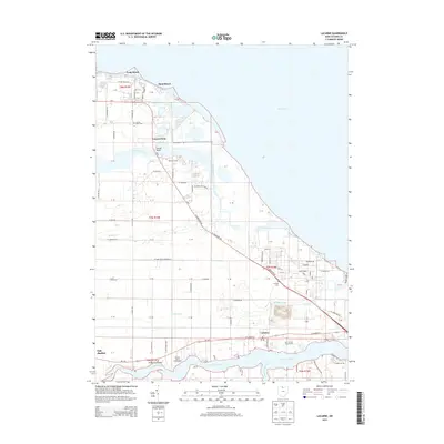
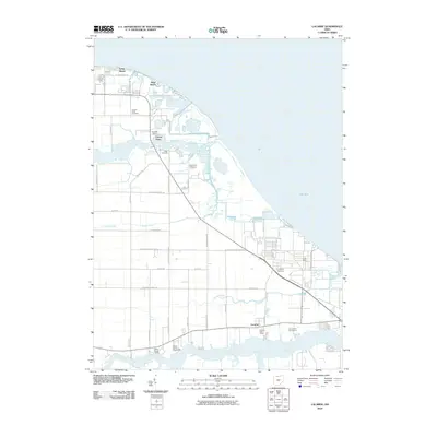 2010 Lacarne2010 Print · USGSCovers Ottawa County, including Oak Harbor, Erie Township, and other nearby areas
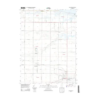
 - 2010 Map of Oak Harbor, 2010 Print
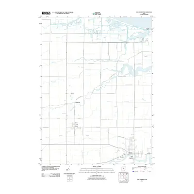 2010 Oak Harbor2010 Print · USGSCovers Ottawa County, including Oak Harbor, Rocky Ridge, and other nearby areas
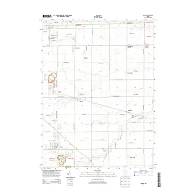
 - 2010 Map of Genoa, 2010 Print
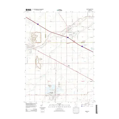
 2010 Genoa2010 Print · USGSCovers Ottawa County, including Genoa, Clay Center, and other nearby areas
 - 2010 Map of Gypsum, 2010 Print
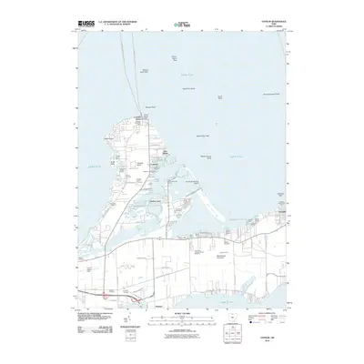 2010 Gypsum2010 Print · USGSCovers Ottawa County, including Catawba Island, Put-in-Bay Township, and other nearby areas
 - 2010 Map of Castalia, 2010 Print
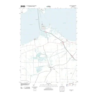 2010 Castalia2010 Print · USGSCovers Ottawa County, including Sandusky, Danbury, and other nearby areas
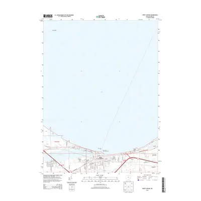
 - 2010 Map of Port Clinton, 2010 Print
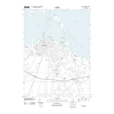
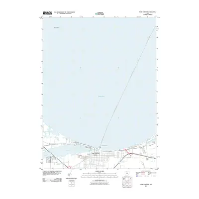 2010 Port Clinton2010 Print · USGSCovers Ottawa County, including Port Clinton, Put-in-Bay Township, and other nearby areas
 - 2010 Map of Vickery, 2010 Print
 2010 Vickery2010 Print · USGSCovers Ottawa County, including Port Clinton, Whitmore, and other nearby areas
 - 2010 Map of Sandusky, 2010 Print
 2010 Sandusky2010 Print · USGSCovers Ottawa County, including Sandusky, Marblehead, and other nearby areas
 - 2010 Map of Lindsey, 2010 Print
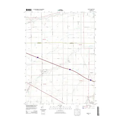
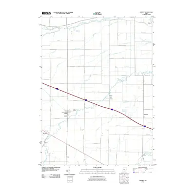 2010 Lindsey2010 Print · USGSCovers Ottawa County, including Fremont, Lindsey, and other nearby areas
 - 2010 Map of Elmore, 2010 Print
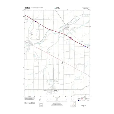 2010 Elmore2010 Print · USGSCovers Ottawa County, including Gibsonburg, Woodville, and other nearby areas
 - 2010 Map of Kelleys Island, 2010 Print
 2010 Kelleys Island2010 Print · USGSCovers Ottawa County, including Marblehead, Kelleys Island, and other nearby areas
 - 2010 Map of Metzger Marsh, 2010 Print
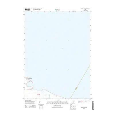
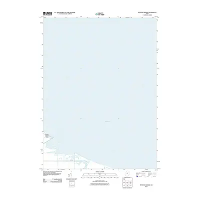 2010 Metzger Marsh2010 Print · USGSCovers Ottawa County, including Put-in-Bay Township, Howard Farms Beach, and other nearby areas
 - 2011 Map of Put-in-Bay, 2011 Print
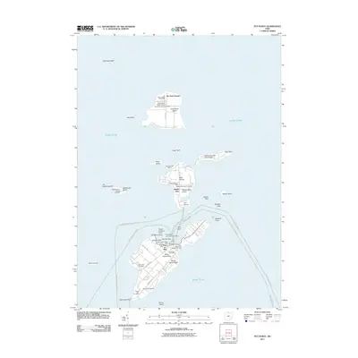 2011 Put-in-Bay2011 Print · USGSCovers Ottawa County, including Kingsville, Put-in-Bay, and other nearby areas
 - 2013 Map of Walbridge, 2013 Print
 2013 Walbridge2013 Print · USGSCovers Ottawa County, including Oregon, Northwood, and other nearby areas
 - 2013 Map of Vickery, 2013 Print
 2013 Vickery2013 Print · USGSCovers Ottawa County, including Port Clinton, Whitmore, and other nearby areas
 - 2013 Map of Wightmans Grove, 2013 Print
 2013 Wightmans Grove2013 Print · USGSCovers Ottawa County, including Fremont, Upton, and other nearby areas
 - 2013 Map of Port Clinton, 2013 Print
 2013 Port Clinton2013 Print · USGSCovers Ottawa County, including Port Clinton, Put-in-Bay Township, and other nearby areas
 - 2013 Map of Genoa, 2013 Print
 2013 Genoa2013 Print · USGSCovers Ottawa County, including Genoa, Clay Center, and other nearby areas
 - 2013 Map of Oak Harbor, 2013 Print
 2013 Oak Harbor2013 Print · USGSCovers Ottawa County, including Oak Harbor, Rocky Ridge, and other nearby areas
 - 2013 Map of Lacarne, 2013 Print
 2013 Lacarne2013 Print · USGSCovers Ottawa County, including Oak Harbor, Erie Township, and other nearby areas
 - 2013 Map of Elmore, 2013 Print
 2013 Elmore2013 Print · USGSCovers Ottawa County, including Gibsonburg, Woodville, and other nearby areas
 - 2013 Map of Lindsey, 2013 Print
 2013 Lindsey2013 Print · USGSCovers Ottawa County, including Fremont, Lindsey, and other nearby areas
 - 2013 Map of Metzger Marsh, 2013 Print
 2013 Metzger Marsh2013 Print · USGSCovers Ottawa County, including Put-in-Bay Township, Howard Farms Beach, and other nearby areas
Showing maps 1-25 of 79
Top cities of Ottawa County
Frequently asked questions
- What are the different types of historical maps available for Ottawa County?
- What is the oldest map of Ottawa County?
- Where can I purchase historical maps of Ottawa County for my home or office?
- Where can I download high-res historical maps of Ottawa County?
- Are there historical topographic maps available for Ottawa County?
- Is there historical aerial imagery available for Ottawa County?
- Where are historical maps of Ottawa County sourced from?