2000s (21st Century) Maps of Salem Township, Ohio
Explore 20 historic maps of Salem Township from the 2000s (21st Century). These maps offer a rare glimpse into what life looked like during the 2000s — showing old roads, neighborhoods, homes, and landmarks that have changed or disappeared over time.
Whether you're researching your family's past, planning a metal detecting trip, or studying how Salem Township's landscape evolved across the 2000s, these high-resolution maps are a powerful tool for exploring the history of this region.
- Focus on a specific era: All maps on this page are from the 2000s, giving you a focused view of this time period.
- See what’s changed: Compare century-old streets, trails, and buildings to today's modern landscape using overlays and satellite layers.
- Research with precision: Use these maps for genealogy, historical research, land use analysis, or educational projects.
- View, download, or print: Maps are fully viewable online in high resolution, and can be downloaded or printed for your own records.
Start exploring Salem Township's history through authentic maps from the 2000s. This is your window into the past.
Salem Township, OH maps
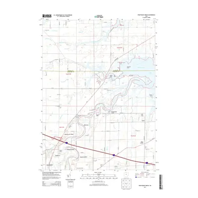
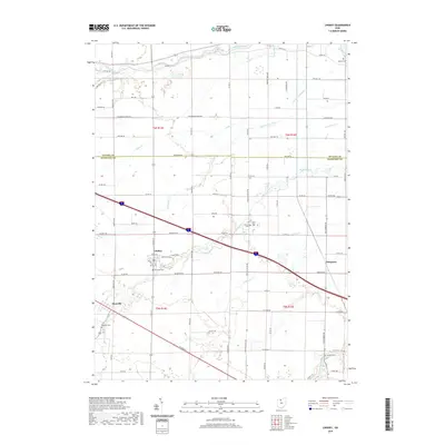
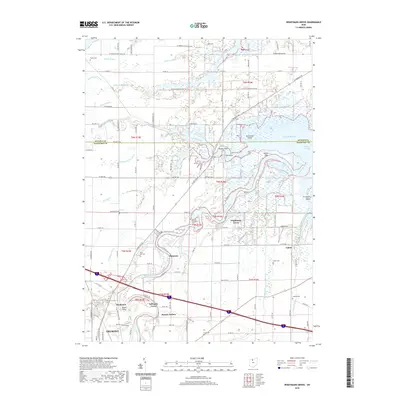
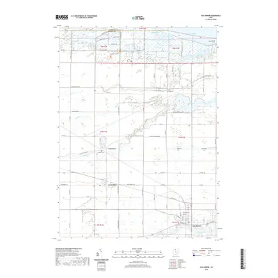
(20)- 2010 Map of Wightmans Grove, 2010 Print
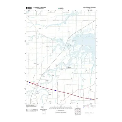 2010 Wightmans Grove2010 Print · USGSCovers Salem Township, including Fremont, Upton, and other nearby areas
 - 2010 Map of Lacarne, 2010 Print
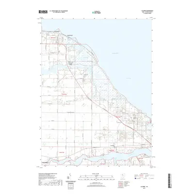
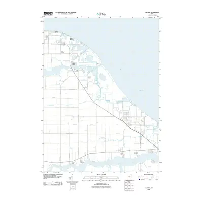 2010 Lacarne2010 Print · USGSCovers Salem Township, including Oak Harbor, Erie Township, and other nearby areas
 - 2010 Map of Oak Harbor, 2010 Print
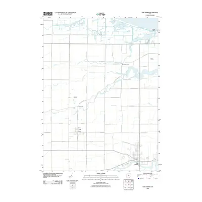 2010 Oak Harbor2010 Print · USGSCovers Salem Township, including Oak Harbor, Rocky Ridge, and other nearby areas
 - 2010 Map of Lindsey, 2010 Print
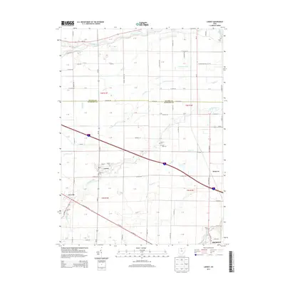
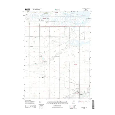
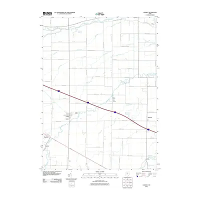 2010 Lindsey2010 Print · USGSCovers Salem Township, including Fremont, Lindsey, and other nearby areas
 - 2013 Map of Wightmans Grove, 2013 Print
 2013 Wightmans Grove2013 Print · USGSCovers Salem Township, including Fremont, Upton, and other nearby areas
 - 2013 Map of Oak Harbor, 2013 Print
 2013 Oak Harbor2013 Print · USGSCovers Salem Township, including Oak Harbor, Rocky Ridge, and other nearby areas
 - 2013 Map of Lacarne, 2013 Print
 2013 Lacarne2013 Print · USGSCovers Salem Township, including Oak Harbor, Erie Township, and other nearby areas
 - 2013 Map of Lindsey, 2013 Print
 2013 Lindsey2013 Print · USGSCovers Salem Township, including Fremont, Lindsey, and other nearby areas
 - 2016 Map of Oak Harbor, 2016 Print
 2016 Oak Harbor2016 Print · USGSCovers Salem Township, including Oak Harbor, Rocky Ridge, and other nearby areas
 - 2016 Map of Lacarne, 2016 Print
 2016 Lacarne2016 Print · USGSCovers Salem Township, including Oak Harbor, Erie Township, and other nearby areas
 - 2016 Map of Lindsey, 2016 Print
 2016 Lindsey2016 Print · USGSCovers Salem Township, including Fremont, Lindsey, and other nearby areas
 - 2016 Map of Wightmans Grove, 2016 Print
 2016 Wightmans Grove2016 Print · USGSCovers Salem Township, including Fremont, Upton, and other nearby areas
 - 2019 Map of Lindsey, 2019 Print
 2019 Lindsey2019 Print · USGSCovers Salem Township, including Fremont, Lindsey, and other nearby areas
 - 2019 Map of Wightmans Grove, 2019 Print
 2019 Wightmans Grove2019 Print · USGSCovers Salem Township, including Fremont, Upton, and other nearby areas
 - 2019 Map of Lacarne, 2019 Print
 2019 Lacarne2019 Print · USGSCovers Salem Township, including Oak Harbor, Erie Township, and other nearby areas
 - 2019 Map of Oak Harbor, 2019 Print
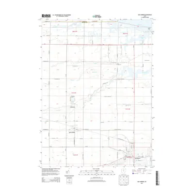
 2019 Oak Harbor2019 Print · USGSCovers Salem Township, including Oak Harbor, Rocky Ridge, and other nearby areas
 - 2023 Map of Lindsey, 2023 Print
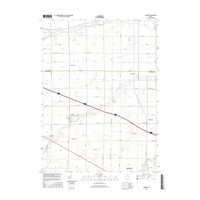
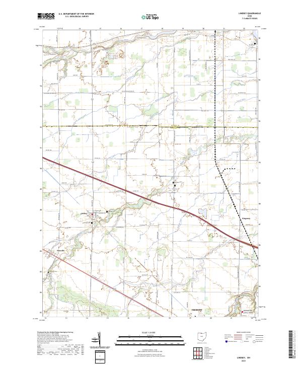 2023 Lindsey2023 Print · USGSThe village of Lindsey and its surrounding farmsteads are documented here in the early twenty-first century. Genealogists can locate several family burial sites including Roose Cem, Hessville Cem, and the Faith Lutheran Cem.
 - 2023 Map of Wightmans Grove, 2023 Print
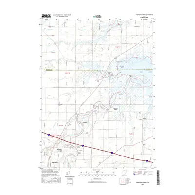
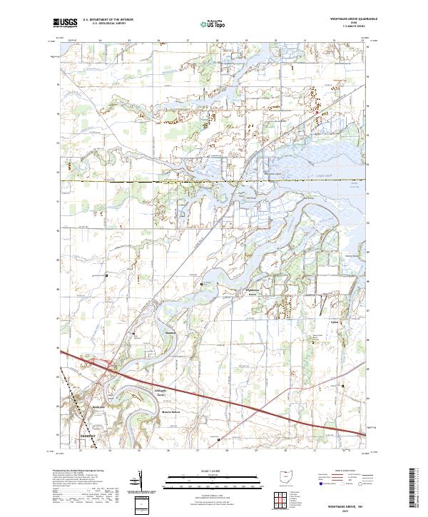 2023 Wightmans Grove2023 Print · USGSCoastal marshlands meet productive Ohio farmland in this study of the Sandusky River delta during the early twenty-first century. Researchers can locate family heritage at the Green Creek Burial Ground or trace old local clusters like Schlegels Grove and Wightmans Grove.
 - 2023 Map of Oak Harbor, 2023 Print
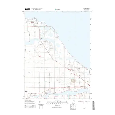
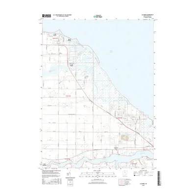
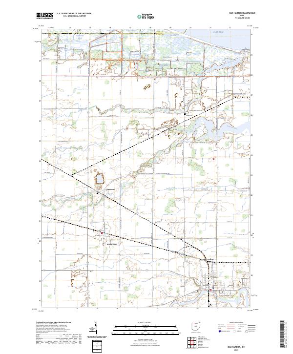 2023 Oak Harbor2023 Print · USGSOak Harbor and the Lake Erie shoreline are shown in detail in this modern survey of Ottawa County's marshlands. Researchers can trace family sites near Rocky Ridge, locate the Limestone Cemetery, or explore the complex wetlands of Magee Marsh and Locust Point.
 - 2023 Map of Lacarne, 2023 Print
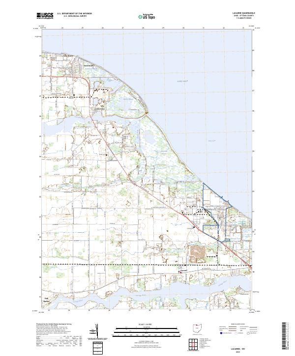 2023 Lacarne2023 Print · USGSOttawa County's marshy Lake Erie shoreline is revealed in this modern survey, showing a landscape defined by its proximity to the water. Genealogists and historians can locate family burial sites at Locust Point Cem and Rusha Cem, or trace the development of lakeside retreats like Sand Beach.
End of results
Showing maps 1-20 of 20
Top cities near Salem Township
- Fremont historical maps
- Green Creek historical maps
- Ballville historical maps
- Clyde historical maps
- Port Clinton historical maps
- Oak Harbor historical maps
See more
Top neighborhoods of Salem Township
Frequently asked questions
- What are the different types of historical maps available for Salem Township?
- What is the oldest map of Salem Township?
- Where can I purchase historical maps of Salem Township for my home or office?
- Where can I download high-res historical maps of Salem Township?
- Are there historical topographic maps available for Salem Township?
- Is there historical aerial imagery available for Salem Township?
- Where are historical maps of Salem Township sourced from?