2000s (21st Century) Maps of Antwerp, Ohio
Explore 10 historic maps of Antwerp from the 2000s (21st Century). These maps offer a rare glimpse into what life looked like during the 2000s — showing old roads, neighborhoods, homes, and landmarks that have changed or disappeared over time.
Whether you're researching your family's past, planning a metal detecting trip, or studying how Antwerp's landscape evolved across the 2000s, these high-resolution maps are a powerful tool for exploring the history of this region.
- Focus on a specific era: All maps on this page are from the 2000s, giving you a focused view of this time period.
- See what’s changed: Compare century-old streets, trails, and buildings to today's modern landscape using overlays and satellite layers.
- Research with precision: Use these maps for genealogy, historical research, land use analysis, or educational projects.
- View, download, or print: Maps are fully viewable online in high resolution, and can be downloaded or printed for your own records.
Start exploring Antwerp's history through authentic maps from the 2000s. This is your window into the past.
Antwerp, OH maps
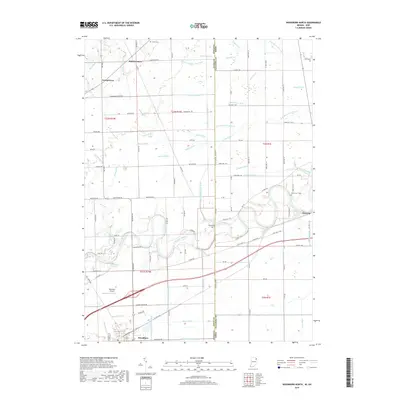
(10)- 2010 Map of Woodburn North, 2010 Print
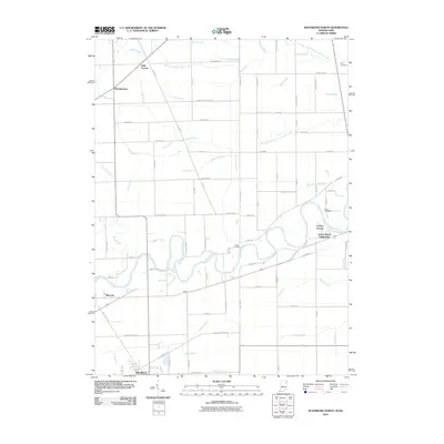 2010 Woodburn North2010 Print · USGSCovers Antwerp, including Woodburn, Georgetown, and other nearby areas
 - 2010 Map of Antwerp, 2010 Print
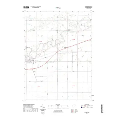
 2010 Antwerp2010 Print · USGSCovers Antwerp, including Knoxdale, Paulding County, and other nearby areas
 - 2013 Map of Woodburn North, 2013 Print
 2013 Woodburn North2013 Print · USGSCovers Antwerp, including Woodburn, Georgetown, and other nearby areas
 - 2013 Map of Antwerp, 2013 Print
 2013 Antwerp2013 Print · USGSCovers Antwerp, including Knoxdale, Paulding County, and other nearby areas
 - 2016 Map of Woodburn North, 2016 Print
 2016 Woodburn North2016 Print · USGSCovers Antwerp, including Woodburn, Georgetown, and other nearby areas
 - 2016 Map of Antwerp, 2016 Print
 2016 Antwerp2016 Print · USGSCovers Antwerp, including Knoxdale, Paulding County, and other nearby areas
 - 2019 Map of Woodburn North, 2019 Print
 2019 Woodburn North2019 Print · USGSCovers Antwerp, including Woodburn, Georgetown, and other nearby areas
 - 2019 Map of Antwerp, 2019 Print
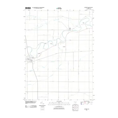
 2019 Antwerp2019 Print · USGSCovers Antwerp, including Knoxdale, Paulding County, and other nearby areas
 - 2022 Map of Woodburn North, 2022 Print
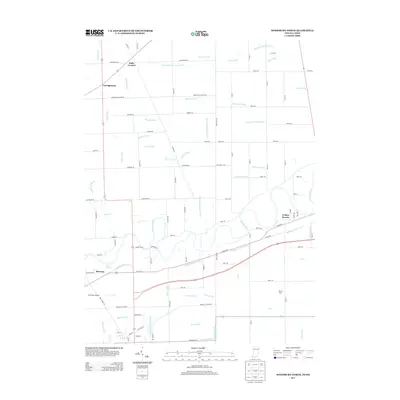
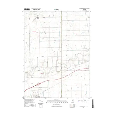
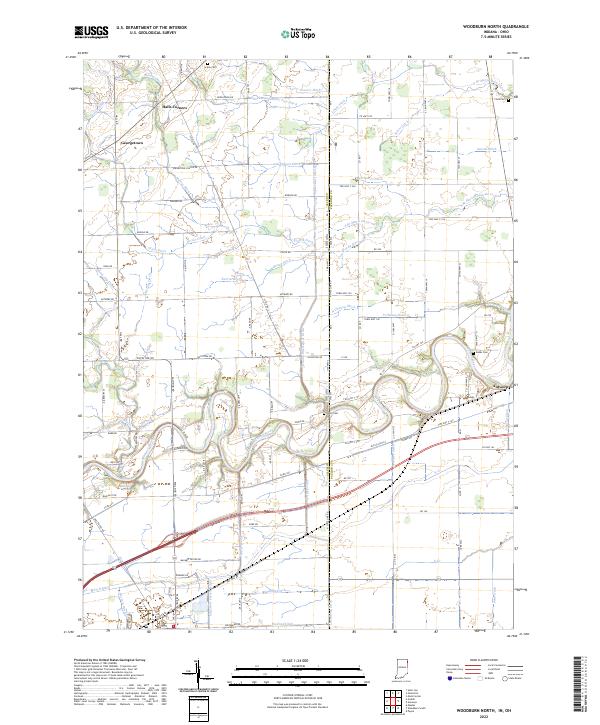 2022 Woodburn North2022 Print · USGSThe Indiana-Ohio borderlands come into focus in this contemporary survey of the Maumee River corridor. Genealogists and researchers can trace the vicinity of Antwerp and Halls Corners, locating old family burial sites like Scipio Cem and Banks Cem.
 - 2023 Map of Antwerp, 2023 Print
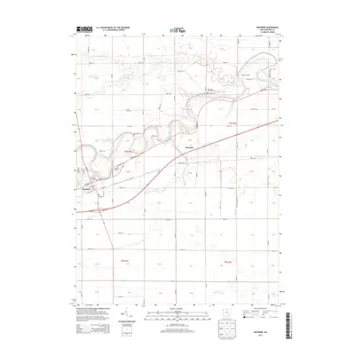
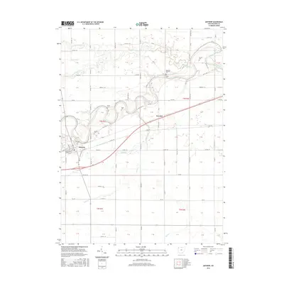
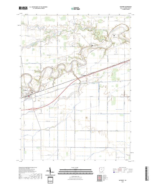 2023 Antwerp2023 Print · USGSPaulding County agricultural life and riverfront settlement are mapped here in the early twenty-first century. Genealogists can trace several family-named burial sites including Riverside Cem, Gordon Cem, and Forder Cem along the winding Maumee River.
End of results
Showing maps 1-10 of 10
Top cities near Antwerp
- New Haven historical maps
- Paulding historical maps
- Hicksville historical maps
- Woodburn historical maps
- Monroeville historical maps
- Concord historical maps
See more
Frequently asked questions
- What are the different types of historical maps available for Antwerp?
- What is the oldest map of Antwerp?
- Where can I purchase historical maps of Antwerp for my home or office?
- Where can I download high-res historical maps of Antwerp?
- Are there historical topographic maps available for Antwerp?
- Is there historical aerial imagery available for Antwerp?
- Where are historical maps of Antwerp sourced from?