Old Maps of Antwerp, Ohio for Metal Detecting
Plan your next treasure hunt with 17 historic maps of Antwerp. Find old homesites, ghost towns, trails, and gathering spots that may be lost to time — perfect for identifying promising metal detecting locations.
- Locate forgotten sites: Uncover places like long-lost settlements, abandoned rail lines, or gathering spots.
- Plan better hunts: Use map overlays combined with LiDAR or satellite views to narrow in on historically rich areas.
- Made for detectorists: Thousands of hobbyists use these maps to discover relics, coins, and hidden history.
Use these historic maps to boost your research and find new opportunities beneath the surface of Antwerp.
Antwerp, OH maps
(17)- 1914 Map of Paulding, 1942 Print
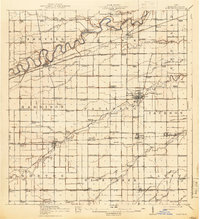 1914 Paulding1942 Print · USGSNorthwest Ohio at the height of the railroad era reveals a landscape defined by the Maumee River and the legacy of the Wabash Canal. Genealogists and historians can trace numerous rural schoolhouses like Champion School and vanished rail stops at Knoxdale or Briceton.2 unique versions available
 - 1944 Map of Paulding
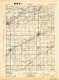 1944 Paulding1944 Print · USGSPaulding County is captured here in the mid-forties, showing a landscape of small farm towns and a remarkable concentration of rural schoolhouses. Genealogists can trace family roots through sites like Swamp College, Cecil, and Hardesty Sch along the Wabash RR.
 - 1953 Map of Fort Wayne, 1963 Print
 1953 Fort Wayne1963 Print · USGSNortheast Indiana and its neighboring borderlands in Michigan and Ohio appear here during a peak era of rail and road expansion. Researchers can trace the massive rail networks of the Nickel Plate Road and Wabash or locate lakeside landmarks like Lake Wawasee and Clear Lake.4 unique versions available
 - 1956 Map of Fort Wayne
 1956 Fort Wayne1956 Print · USGSThe tri-state borderlands of Indiana, Michigan, and Ohio are captured here in the mid-fifties, centered on the growing industrial hub of Fort Wayne. Researchers can trace the heavy rail lines of the New York Central and Pennsylvania alongside prominent water features like Lake Wawasee and the Maumee River.2 unique versions available
 - 1958 Map of Woodburn North, 1960 Print
 1958 Woodburn North1960 Print · USGSThe Indiana-Ohio borderlands come into focus in the late 1950s, showing a landscape defined by the winding Maumee River and the Wabash Railroad. Genealogists and local historians can locate early landmarks like Bluecast Spring, Hurstown, and Diehl Cem.4 unique versions available
 - 1960 Map of Antwerp, 1961 Print
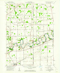
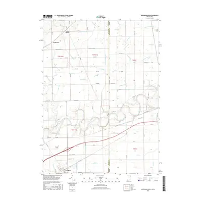
 1960 Antwerp1961 Print · USGSAntwerp and the Maumee River valley are captured here at the dawn of the 1960s, showing a landscape defined by the legacies of water and rail. You can trace the path of the Wabash and Erie Canal and locate family burial sites at Banks and Slough cemeteries.2 unique versions available
 - 1986 Map of Defiance, 1992 Print
 1986 Defiance1992 Print · USGSNorthwest Ohio and Eastern Indiana appear in the late eighties as a landscape shaped by significant river confluences and rail corridors. Researchers can trace the layout of local towns and landmarks like Defiance College, Forest Hill Cem, and the path of the Norfolk and Western RR.
 - 2010 Map of Woodburn North, 2010 Print
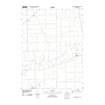 2010 Woodburn North2010 Print · USGSCovers Antwerp, including Woodburn, Georgetown, and other nearby areas
 - 2010 Map of Antwerp, 2010 Print
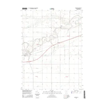
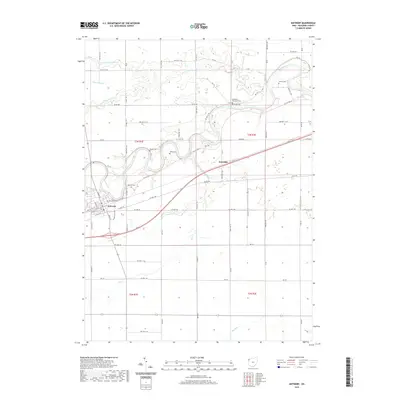
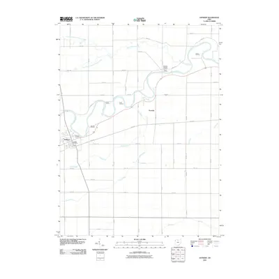 2010 Antwerp2010 Print · USGSCovers Antwerp, including Knoxdale, Paulding County, and other nearby areas
 - 2013 Map of Woodburn North, 2013 Print
 2013 Woodburn North2013 Print · USGSCovers Antwerp, including Woodburn, Georgetown, and other nearby areas
 - 2013 Map of Antwerp, 2013 Print
 2013 Antwerp2013 Print · USGSCovers Antwerp, including Knoxdale, Paulding County, and other nearby areas
 - 2016 Map of Woodburn North, 2016 Print
 2016 Woodburn North2016 Print · USGSCovers Antwerp, including Woodburn, Georgetown, and other nearby areas
 - 2016 Map of Antwerp, 2016 Print
 2016 Antwerp2016 Print · USGSCovers Antwerp, including Knoxdale, Paulding County, and other nearby areas
 - 2019 Map of Woodburn North, 2019 Print
 2019 Woodburn North2019 Print · USGSCovers Antwerp, including Woodburn, Georgetown, and other nearby areas
 - 2019 Map of Antwerp, 2019 Print
 2019 Antwerp2019 Print · USGSCovers Antwerp, including Knoxdale, Paulding County, and other nearby areas
 - 2022 Map of Woodburn North, 2022 Print
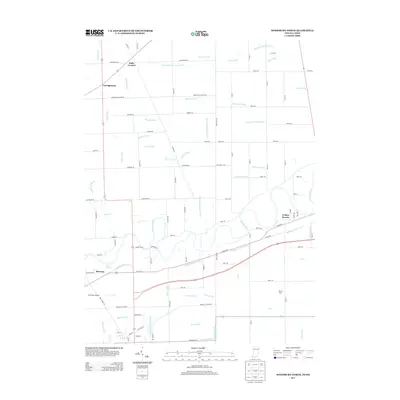
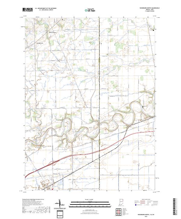 2022 Woodburn North2022 Print · USGSThe Indiana-Ohio borderlands come into focus in this contemporary survey of the Maumee River corridor. Genealogists and researchers can trace the vicinity of Antwerp and Halls Corners, locating old family burial sites like Scipio Cem and Banks Cem.
 - 2023 Map of Antwerp, 2023 Print
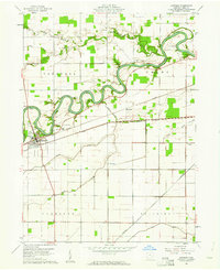
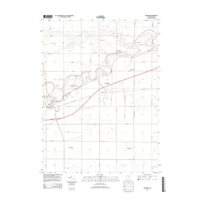
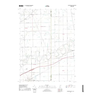
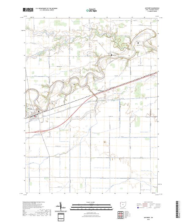 2023 Antwerp2023 Print · USGSPaulding County agricultural life and riverfront settlement are mapped here in the early twenty-first century. Genealogists can trace several family-named burial sites including Riverside Cem, Gordon Cem, and Forder Cem along the winding Maumee River.
End of results
Showing maps 1-17 of 17
Top cities near Antwerp
- New Haven historical maps
- Paulding historical maps
- Hicksville historical maps
- Woodburn historical maps
- Monroeville historical maps
- Concord historical maps
See more
Frequently asked questions
- What are the different types of historical maps available for Antwerp?
- What is the oldest map of Antwerp?
- Where can I purchase historical maps of Antwerp for my home or office?
- Where can I download high-res historical maps of Antwerp?
- Are there historical topographic maps available for Antwerp?
- Is there historical aerial imagery available for Antwerp?
- Where are historical maps of Antwerp sourced from?