2000s (21st Century) Maps of Junction City, Ohio
Explore 6 historic maps of Junction City from the 2000s (21st Century). These maps offer a rare glimpse into what life looked like during the 2000s — showing old roads, neighborhoods, homes, and landmarks that have changed or disappeared over time.
Whether you're researching your family's past, planning a metal detecting trip, or studying how Junction City's landscape evolved across the 2000s, these high-resolution maps are a powerful tool for exploring the history of this region.
- Focus on a specific era: All maps on this page are from the 2000s, giving you a focused view of this time period.
- See what’s changed: Compare century-old streets, trails, and buildings to today's modern landscape using overlays and satellite layers.
- Research with precision: Use these maps for genealogy, historical research, land use analysis, or educational projects.
- View, download, or print: Maps are fully viewable online in high resolution, and can be downloaded or printed for your own records.
Start exploring Junction City's history through authentic maps from the 2000s. This is your window into the past.
Junction City, OH maps
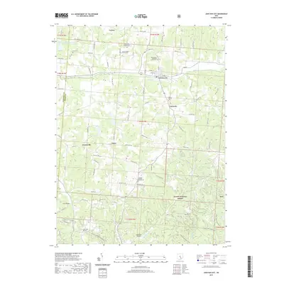
(6)- 2002 Map of Junction City, 2006 Print
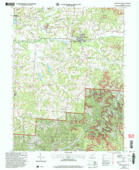 2002 Junction City2006 Print · USGSPerry and Fairfield counties are shown at the turn of the millennium as industrial remnants meet national forest lands. Local historians can trace old family sites like Harvey Cem and church congregations at Friendship Ch or Turkey Creek Ch.
 - 2011 Map of Junction City, 2011 Print
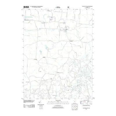 2011 Junction City2011 Print · USGSCovers Junction City, including Crossenville, Clarksville, and other nearby areas
 - 2013 Map of Junction City, 2013 Print
 2013 Junction City2013 Print · USGSCovers Junction City, including Crossenville, Clarksville, and other nearby areas
 - 2016 Map of Junction City, 2016 Print
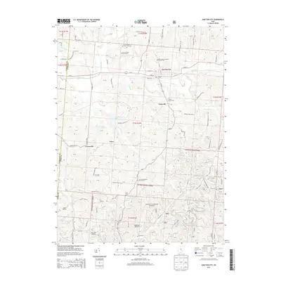
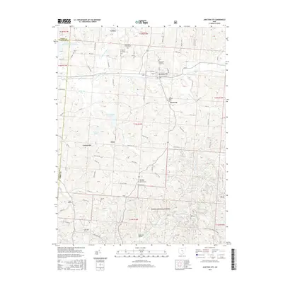 2016 Junction City2016 Print · USGSCovers Junction City, including Crossenville, Clarksville, and other nearby areas
 - 2019 Map of Junction City, 2019 Print
 2019 Junction City2019 Print · USGSCovers Junction City, including Crossenville, Clarksville, and other nearby areas
 - 2023 Map of Junction City, 2023 Print
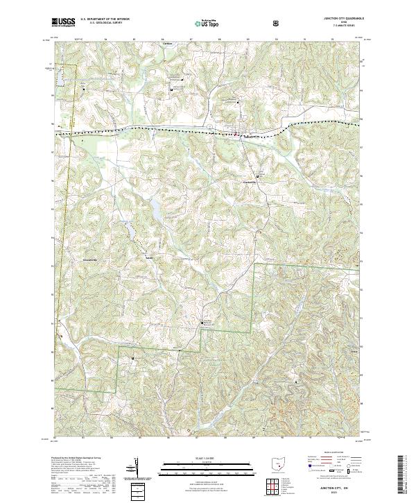 2023 Junction City2023 Print · USGSPerry County's rural character remains evident in the early twenty-first century, centered on the crossroads of Junction City. Genealogists and local historians can trace the heritage of the region through numerous sites like Friendship Methodist Episcopal Cem and New Lebanon Evangelical Lutheran Cem.
End of results
Showing maps 1-6 of 6
Top cities near Junction City
- Lancaster historical maps
- New Lexington historical maps
- Crooksville historical maps
- Hebron historical maps
- Glouster historical maps
- Somerset historical maps
See more
Frequently asked questions
- What are the different types of historical maps available for Junction City?
- What is the oldest map of Junction City?
- Where can I purchase historical maps of Junction City for my home or office?
- Where can I download high-res historical maps of Junction City?
- Are there historical topographic maps available for Junction City?
- Is there historical aerial imagery available for Junction City?
- Where are historical maps of Junction City sourced from?