Old Maps of Harrison Township, Ohio for Hiking & Exploration
Hike through history with 43 historic maps of Harrison Township. Explore old trails, ghost towns, and forgotten backroads — perfect for outdoor adventurers and local explorers.
- Rediscover forgotten places: Map out old mining camps, roads, and footpaths that no longer exist on modern maps.
- Layer with modern tools: Combine with LiDAR or satellite views to plan hikes through historical terrain.
- Made for exploration: Popular among hikers, overlanders, and local history lovers.
Use these maps to find adventure and explore the hidden past of Harrison Township.
Harrison Township, OH maps
(43)- 1911 Map of Era, 1952 Print
 1911 Era1952 Print · USGSPickaway County at the start of the 1900s is a landscape of established farmsteads and creekside milling. Genealogists can trace family footprints through numerous rural school sites like Tick Ridge School or Locust Grove School and find early commerce hubs like Crownover Mill and Williamsport.
 - 1913 Map of Era, 1936 Print
 1913 Era1936 Print · USGSPickaway County agricultural life and early transport networks are preserved here in the years before the Great War. Genealogists and local historians can locate dozens of country schoolhouses like Dublin Hill School and river crossings such as Becks Ford and Gulicks Ford.
 - 1914 Map of Circleville, 1948 Print
 1914 Circleville1948 Print · USGSThe Scioto River valley and Pickaway Plains are captured here during a period of thriving rail commerce and rural schoolhouse districts. Researchers can find ancestral sites from the Reber Hill Cemetery to vanished stops along the Scioto Valley and New England RR.
 - 1923 Map of West Columbus, 1955 Print
 1923 West Columbus1955 Print · USGSFranklin County in the early twenties shows the growing western edge of Columbus and its surrounding rural townships. Genealogists and historians can trace the paths of the National Road and find landmarks like Camp Chase, Urbancrest, and Pisgah School.
 - 1925 Map of East Columbus, 1940 Print
 1925 East Columbus1940 Print · USGSGreater Columbus and its eastern suburbs were rapidly expanding in the 1920s as industry and transit lines bridged the gap between city and farm. Genealogists and historians can trace the paths of the ABANDONED CANAL, the legacy of NORTON FIELD, and old village centers like Canal Winchester and Lithopolis.3 unique versions available
 - 1925 Map of West Columbus, 1946 Print
 1925 West Columbus1946 Print · USGSFranklin and Pickaway counties are shown here in the mid-twenties, when the growing state capital met a landscape of electric railways and rural schoolhouses. Researchers can trace the National Road and locate sites like the Pisgah School, Mt Calvary Cemetery, and the State Hospital.
 - 1943 Map of Era
 1943 Era1943 Print · USGSPickaway and Ross Counties are shown in the early 1940s, a period when rural education and river-based land divisions still shaped the Ohio countryside. Genealogists can locate dozens of country schoolhouses like Frogeye Sch and trace the Pennsylvania rail line through Williamsport and Atlanta.
 - 1943 Map of Circleville
 1943 Circleville1943 Print · USGSMid-century Pickaway County is defined here by its intersection of rail power and ancient landmarks along the Scioto River. Genealogists and historians can trace dozens of rural schoolhouses like Bushwhack Sch, the county Infirmary, and the site of the Logan Elm.
 - 1943 Map of East Columbus
 1943 East Columbus1943 Print · USGSEastern Columbus and the Refugee Tract are captured here during the mobilization of the early 1940s. Genealogists and historians can trace the foundations of modern aviation at Port Columbus or find vanished landmarks like the Childrens Home and Norton Field.
 - 1947 Map of Columbus, 1948 Print
 1947 Columbus1948 Print · USGSCentral Ohio in the late 1940s is captured in this survey, showing the post-war transition of its rail hubs and military airfield expansions. Genealogists and historians can trace the paths of the Ohio Canal, the Pennsylvania RR lines, and the Camp Sherman Military Reservation.
 - 1955 Map of Lockbourne, 1956 Print
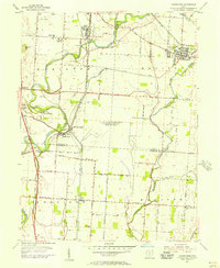 1955 Lockbourne1956 Print · USGSSouth of Columbus in the mid-fifties, the landscape is defined by the massive Lockbourne Air Force Base. Genealogists can trace family names at Watkins Cem or locate the Scioto Valley Grange and Township High Sch.
 - 1955 Map of Commercial Point, 1956 Print
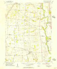 1955 Commercial Point1956 Print · USGSPickaway and Franklin counties appear here in the mid-fifties, dominated by the Scioto River valley and a traditional agricultural landscape. Researchers can trace historic family properties like the James Borror Farm or locate rural burial sites such as Beckett Cem and Seeds Cem.
 - 1958 Map of Darbyville, 1959 Print
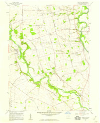 1958 Darbyville1959 Print · USGSThe rural Pickaway County landscape of the late fifties is defined by the winding paths of Big Darby Creek and the Scioto River. Researchers can trace old family sites near Robtown, find local burials at Florence Cemetery, and locate the old Township School.3 unique versions available
 - 1958 Map of Ashville, 1959 Print
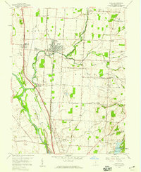 1958 Ashville1959 Print · USGSPickaway County's rural heartland is captured here in the late fifties, where the railroad junction at Ashville anchors a landscape of fertile creek bottoms. Genealogists can trace family connections through local landmarks like Hedges Chapel, Reber Hill Cem, and the small settlement of Millport.2 unique versions available
 - 1961 Map of Columbus
 1961 Columbus1961 Print · USGSCentral and Southern Ohio are captured here in the early sixties, as the region's industrial rail hubs and military bases reached their peak. Genealogists and historians can trace the transition from urban Columbus to rural townships along the Scioto River, locating Lockbourne USAF and old junctions like Washington Court House.
 - 1962 Map of Columbus
 1962 Columbus1962 Print · USGSCentral Ohio during the early sixties reveals a transition from the industrial corridors of Columbus to the forested ridges of the south. Genealogists and historians can trace the rail networks of the Baltimore & Ohio RR and find local landmarks like Washington Court House and Camp Sherman Military Reservation.
 - 1964 Map of Lockbourne, 1966 Print
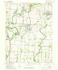 1964 Lockbourne1966 Print · USGSIn the mid-1960s, southern Franklin County saw its rural character meet the expanding footprint of the Cold War military. Genealogists and local historians can trace family-named sites and vanished landmarks from Watkins Cem to the sprawling Lockbourne Air Force Base.3 unique versions available
 - 1966 Map of Commercial Point, 1968 Print
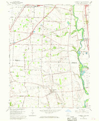 1966 Commercial Point1968 Print · USGSPickaway and Franklin counties in the mid-sixties show a landscape of traditional family farms beginning to meet modern institutional expansion. Genealogists can locate Seeds Cemetery and Beckett Cemetery or trace the early footprint of Matville and the Orient State Institute.2 unique versions available
 - 1967 Map of Columbus, 1969 Print
 1967 Columbus1969 Print · USGSCentral Ohio during the late sixties serves as a vital corridor of rail and aviation, from the industrial streets of Springfield to the hangar lines of Lockbourne Air Force Base. Genealogists and researchers can trace the growth of towns like Circleville and London or locate rural landmarks such as St Paul church and the London Correctional Institution.2 unique versions available
 - 1984 Map of Lancaster, 1985 Print
 1984 Lancaster1985 Print · USGSCentral Ohio and the Hocking Valley come into focus during the mid-eighties as suburban growth meets the wooded ridges of the southeast. Researchers can trace transportation networks through Buckeye Lake or locate landmarks like Flint Ridge State Memorial and Moxahala Park.
 - 1986 Map of Springfield
 1986 Springfield1986 Print · USGSCentral Ohio in the mid-1980s shows the bustling rail-and-road network connecting Springfield and Xenia to the western outskirts of Columbus. Researchers can trace old family sites and transit routes through Glen Haven Mem Cem, Madison Lake State Park, and the CONRAIL line.2 unique versions available
 - 1992 Map of Ashville, 1994 Print
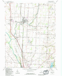 1992 Ashville1994 Print · USGSPickaway County settlement and agriculture are well-documented here during the early nineties as highway corridors expanded near older rail hubs. Researchers can trace family sites and civic history at Ashville, Millport, and the Reber Hill Cem.
 - 1992 Map of Lockbourne, 1995 Print
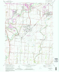 1992 Lockbourne1995 Print · USGSThe Scioto River valley south of Columbus appears here during the early nineties, showing the intersection of military history and rural tradition. Genealogists can trace family landmarks like Fernwood Cem, St Vincents Ch, and the remnants of the Ohio Canal.
 - 2010 Map of Ashville, 2010 Print
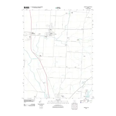 2010 Ashville2010 Print · USGSThe Scioto River valley south of Columbus is captured here in the early twenty-first century, showing the established communities and rural townships of Pickaway County. Researchers can locate numerous local burial grounds including Bowsher Cemetery and Hoover Hill Cemetery or trace the development of Ashville and Little Chicago.
 - 2010 Map of Commercial Point, 2010 Print
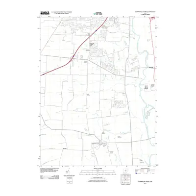 2010 Commercial Point2010 Print · USGSThe Scioto River valley south of Columbus shows a blend of growing residential pockets and deep-rooted family farms in the early 2000s. Genealogists can locate several historic burial sites, including Thomas Adams Cemetery and the James Borrer Farm Cemetery.
Showing maps 1-25 of 43
Top cities near Harrison Township
- Columbus historical maps
- Reynoldsburg historical maps
- Grove City historical maps
- Pickerington historical maps
- Whitehall historical maps
- Circleville historical maps
See more
Top neighborhoods of Harrison Township
Frequently asked questions
- What are the different types of historical maps available for Harrison Township?
- What is the oldest map of Harrison Township?
- Where can I purchase historical maps of Harrison Township for my home or office?
- Where can I download high-res historical maps of Harrison Township?
- Are there historical topographic maps available for Harrison Township?
- Is there historical aerial imagery available for Harrison Township?
- Where are historical maps of Harrison Township sourced from?