2000s (21st Century) Maps of Monroe Township, Ohio
Explore 30 historic maps of Monroe Township from the 2000s (21st Century). These maps offer a rare glimpse into what life looked like during the 2000s — showing old roads, neighborhoods, homes, and landmarks that have changed or disappeared over time.
Whether you're researching your family's past, planning a metal detecting trip, or studying how Monroe Township's landscape evolved across the 2000s, these high-resolution maps are a powerful tool for exploring the history of this region.
- Focus on a specific era: All maps on this page are from the 2000s, giving you a focused view of this time period.
- See what’s changed: Compare century-old streets, trails, and buildings to today's modern landscape using overlays and satellite layers.
- Research with precision: Use these maps for genealogy, historical research, land use analysis, or educational projects.
- View, download, or print: Maps are fully viewable online in high resolution, and can be downloaded or printed for your own records.
Start exploring Monroe Township's history through authentic maps from the 2000s. This is your window into the past.
Monroe Township, OH maps
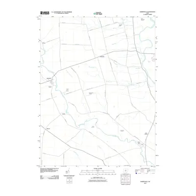
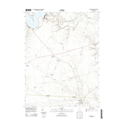
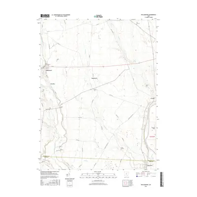
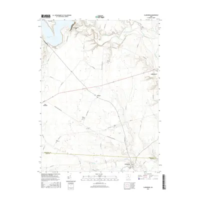
(30)- 2010 Map of Clarksburg, 2010 Print
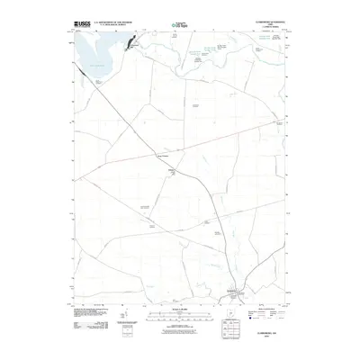 2010 Clarksburg2010 Print · USGSCovers Monroe Township, including Williamsport, Clarksburg, and other nearby areas
 - 2010 Map of Williamsport, 2010 Print
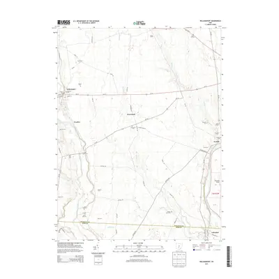
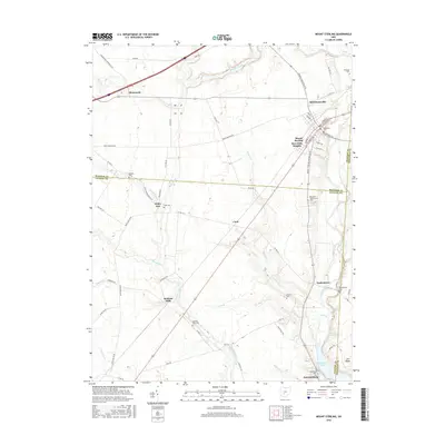
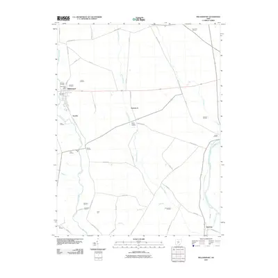 2010 Williamsport2010 Print · USGSCovers Monroe Township, including Williamsport, Yellowbud, and other nearby areas
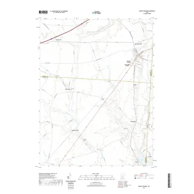
 - 2010 Map of Mount Sterling, 2010 Print
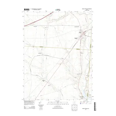
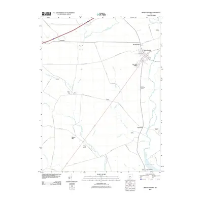 2010 Mount Sterling2010 Print · USGSCovers Monroe Township, including Mount Sterling, Madison Mills, and other nearby areas
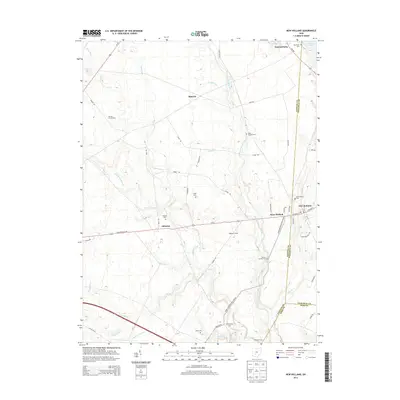
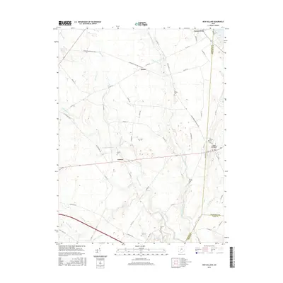
 - 2010 Map of New Holland, 2010 Print
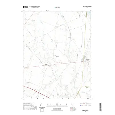
 2010 New Holland2010 Print · USGSCovers Monroe Township, including Manara, Johnson, and other nearby areas
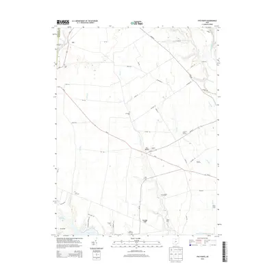
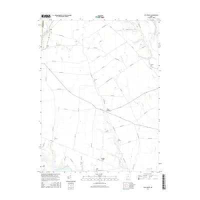
 - 2010 Map of Five Points, 2010 Print
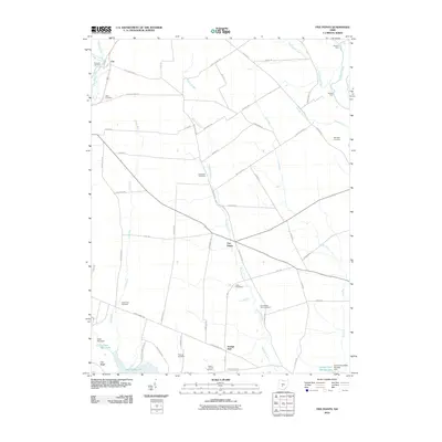 2010 Five Points2010 Print · USGSCovers Monroe Township, including Five Points, Darby Township, and other nearby areas
 - 2010 Map of Darbyville, 2010 Print
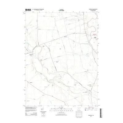
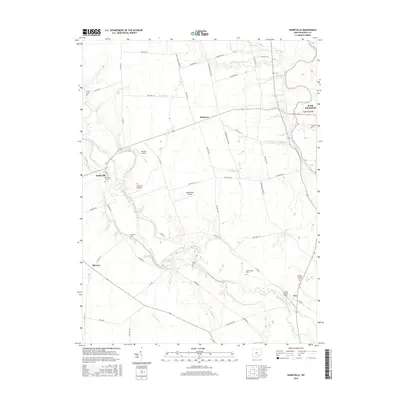
 2010 Darbyville2010 Print · USGSCovers Monroe Township, including South Bloomfield, Darbyville, and other nearby areas
 - 2013 Map of New Holland, 2013 Print
 2013 New Holland2013 Print · USGSCovers Monroe Township, including Manara, Johnson, and other nearby areas
 - 2013 Map of Darbyville, 2013 Print
 2013 Darbyville2013 Print · USGSCovers Monroe Township, including South Bloomfield, Darbyville, and other nearby areas
 - 2013 Map of Five Points, 2013 Print
 2013 Five Points2013 Print · USGSCovers Monroe Township, including Five Points, Darby Township, and other nearby areas
 - 2013 Map of Mount Sterling, 2013 Print
 2013 Mount Sterling2013 Print · USGSCovers Monroe Township, including Mount Sterling, Madison Mills, and other nearby areas
 - 2013 Map of Clarksburg, 2013 Print
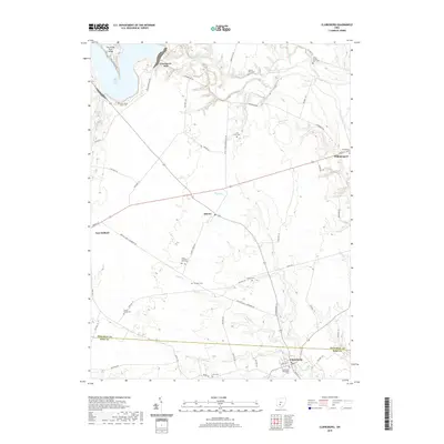
 2013 Clarksburg2013 Print · USGSCovers Monroe Township, including Williamsport, Clarksburg, and other nearby areas
 - 2013 Map of Williamsport, 2013 Print
 2013 Williamsport2013 Print · USGSCovers Monroe Township, including Williamsport, Yellowbud, and other nearby areas
 - 2016 Map of Darbyville, 2016 Print
 2016 Darbyville2016 Print · USGSCovers Monroe Township, including South Bloomfield, Darbyville, and other nearby areas
 - 2016 Map of Williamsport, 2016 Print
 2016 Williamsport2016 Print · USGSCovers Monroe Township, including Williamsport, Yellowbud, and other nearby areas
 - 2016 Map of Mount Sterling, 2016 Print
 2016 Mount Sterling2016 Print · USGSCovers Monroe Township, including Mount Sterling, Madison Mills, and other nearby areas
 - 2016 Map of Five Points, 2016 Print
 2016 Five Points2016 Print · USGSCovers Monroe Township, including Five Points, Darby Township, and other nearby areas
 - 2016 Map of New Holland, 2016 Print
 2016 New Holland2016 Print · USGSCovers Monroe Township, including Manara, Johnson, and other nearby areas
 - 2016 Map of Clarksburg, 2016 Print
 2016 Clarksburg2016 Print · USGSCovers Monroe Township, including Williamsport, Clarksburg, and other nearby areas
 - 2019 Map of Clarksburg, 2019 Print
 2019 Clarksburg2019 Print · USGSCovers Monroe Township, including Williamsport, Clarksburg, and other nearby areas
 - 2019 Map of Mount Sterling, 2019 Print
 2019 Mount Sterling2019 Print · USGSCovers Monroe Township, including Mount Sterling, Madison Mills, and other nearby areas
 - 2019 Map of Darbyville, 2019 Print
 2019 Darbyville2019 Print · USGSCovers Monroe Township, including South Bloomfield, Darbyville, and other nearby areas
 - 2019 Map of New Holland, 2019 Print
 2019 New Holland2019 Print · USGSCovers Monroe Township, including Manara, Johnson, and other nearby areas
 - 2019 Map of Five Points, 2019 Print
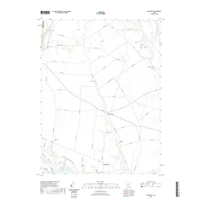 2019 Five Points2019 Print · USGSCovers Monroe Township, including Five Points, Darby Township, and other nearby areas
 - 2019 Map of Williamsport, 2019 Print
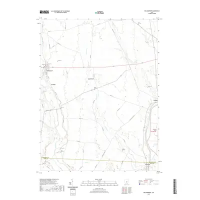 2019 Williamsport2019 Print · USGSCovers Monroe Township, including Williamsport, Yellowbud, and other nearby areas
 - 2023 Map of New Holland, 2023 Print
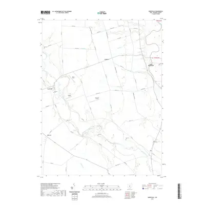
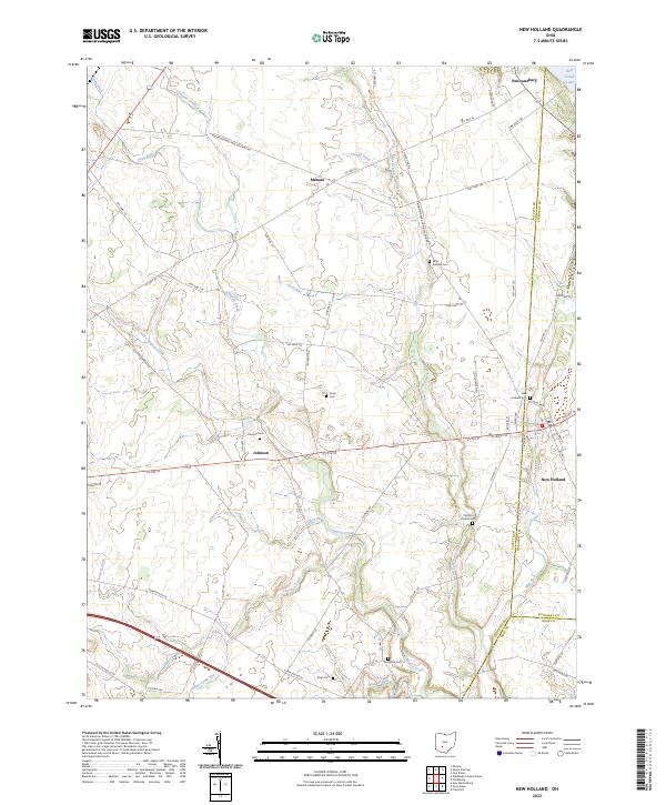 2023 New Holland2023 Print · USGSThe rural crossing of Fayette and Pickaway counties comes to life in this recent survey of New Holland and its surrounding hamlets. Researchers can trace ancestral locations at several small burial grounds, including Johnson Cem, Rowe Cem, and Compton Cem.
Showing maps 1-25 of 30
Top cities near Monroe Township
- Columbus historical maps
- Grove City historical maps
- Circleville historical maps
- London historical maps
- Obetz historical maps
- Ashville historical maps
See more
Top neighborhoods of Monroe Township
Frequently asked questions
- What are the different types of historical maps available for Monroe Township?
- What is the oldest map of Monroe Township?
- Where can I purchase historical maps of Monroe Township for my home or office?
- Where can I download high-res historical maps of Monroe Township?
- Are there historical topographic maps available for Monroe Township?
- Is there historical aerial imagery available for Monroe Township?
- Where are historical maps of Monroe Township sourced from?