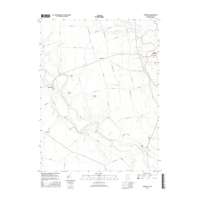
2016 Map of Darbyville
USGS Topo · Published 2016About this map
Big Darby Creek meanders through this landscape, defining the character of the riverine lowlands between Darbyville and the eastern border along the Scioto River. This 2016 survey documents a rural corridor of Pickaway County where small-scale aviation and agricultural heritage intersect. The presence of multiple private airfields, including White's Airport, Lindsey L S Airport, and Ronshausen Airport, suggests a distinct pattern of land use and transportation in the area surrounding Robtown. Genealogists will find significant value in the distribution of family-named burial sites across the township, such as Florence Cem, Renick Cem, and Herrenstine Cem. These landmarks, along with the cluster of named settlements like Pherson and Fox, provide a clear picture of the community's structural history and the enduring importance of its waterway network, including Van Meter Run and Eagle Run.
Find a feature on this map
55 named features on this map. Tap any name to fly to it.
Don’t see what you’re looking for? This feature index may not catch every label — zoom into the map to look around manually.
Map Details
Editions of this 2016 Darbyville Map
This is the sole edition of this map. No revisions or reprints were ever made.
Other maps of this area

1911 · Era
USGS Topo · 1:62,500

1913 · Era
USGS Topo · 1:62,500

1914 · Circleville
USGS Topo · 1:62,500

1923 · West Columbus
USGS Topo · 1:62,500

1925 · East Columbus
USGS Topo · 1:62,500

1925 · West Columbus
USGS Topo · 1:62,500

1943 · Era
USGS Topo · 1:62,500

1943 · Circleville
USGS Topo · 1:62,500

1943 · East Columbus
USGS Topo · 1:62,500

1947 · Columbus
USGS Topo · 1:250,000