Old Maps of Kincaid Springs, Ohio for Hiking & Exploration
Hike through history with 13 historic maps of Kincaid Springs. Explore old trails, ghost towns, and forgotten backroads — perfect for outdoor adventurers and local explorers.
- Rediscover forgotten places: Map out old mining camps, roads, and footpaths that no longer exist on modern maps.
- Layer with modern tools: Combine with LiDAR or satellite views to plan hikes through historical terrain.
- Made for exploration: Popular among hikers, overlanders, and local history lovers.
Use these maps to find adventure and explore the hidden past of Kincaid Springs.
Kincaid Springs, OH maps
(13)- 1915 Map of Bainbridge
 1915 Bainbridge1915 Print · USGSBefore the modernization of rural Ohio, this 1915 survey captures Highland and Ross counties when one-room schoolhouses and country churches anchored every ridge. Trace family roots at Bainbridge, find the Indian Mound on Paint Creek, or locate Fall Creek Church and Redkey School.2 unique versions available
 - 1917 Map of Bainbridge
 1917 Bainbridge1917 Print · USGSIn the decade before modern highways, this Ohio highland region was a land of ridge-top schools and creek-side mills. Genealogists and historians can locate numerous rural schoolhouses like Walnut Shade School and ancient landmarks including the famous Serpent Mound.4 unique versions available
 - 1947 Map of Columbus, 1948 Print
 1947 Columbus1948 Print · USGSCentral Ohio in the late 1940s is captured in this survey, showing the post-war transition of its rail hubs and military airfield expansions. Genealogists and historians can trace the paths of the Ohio Canal, the Pennsylvania RR lines, and the Camp Sherman Military Reservation.
 - 1961 Map of Columbus
 1961 Columbus1961 Print · USGSCentral and Southern Ohio are captured here in the early sixties, as the region's industrial rail hubs and military bases reached their peak. Genealogists and historians can trace the transition from urban Columbus to rural townships along the Scioto River, locating Lockbourne USAF and old junctions like Washington Court House.
 - 1961 Map of Byington, 1963 Print
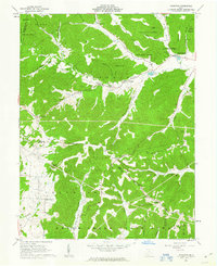 1961 Byington1963 Print · USGSSouthern Ohio in the early sixties was a land of timbered ridges and quiet creek valleys. Genealogists can trace family lines through Washburn Cem and Byington, or locate landmarks like the Kincaid Springs State Fish Hatchery.4 unique versions available
 - 1962 Map of Columbus
 1962 Columbus1962 Print · USGSCentral Ohio during the early sixties reveals a transition from the industrial corridors of Columbus to the forested ridges of the south. Genealogists and historians can trace the rail networks of the Baltimore & Ohio RR and find local landmarks like Washington Court House and Camp Sherman Military Reservation.
 - 1967 Map of Columbus, 1969 Print
 1967 Columbus1969 Print · USGSCentral Ohio during the late sixties serves as a vital corridor of rail and aviation, from the industrial streets of Springfield to the hangar lines of Lockbourne Air Force Base. Genealogists and researchers can trace the growth of towns like Circleville and London or locate rural landmarks such as St Paul church and the London Correctional Institution.2 unique versions available
 - 1986 Map of Hillsboro
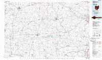 1986 Hillsboro1986 Print · USGSThe rural landscapes of Highland and Clinton counties appear in the mid-eighties as a busy corridor of railroads and regional airports. Genealogists and historians can trace old community centers like Reesville and Starbucktown alongside significant landmarks like Wilmington College and Fort Hill State Memorial.2 unique versions available
 - 2010 Map of Byington, 2010 Print
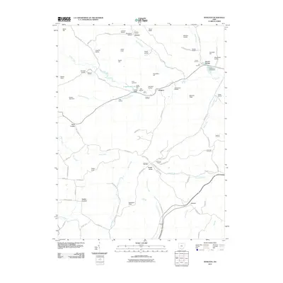 2010 Byington2010 Print · USGSSouthern Ohio's ridge-and-hollow country is documented here in the early twenty-first century, showing the rural communities of Pike County. Genealogists can locate family landmarks like the Poplargrove Post Office, Mount Zion Cemetery, and Grooms.
 - 2013 Map of Byington, 2013 Print
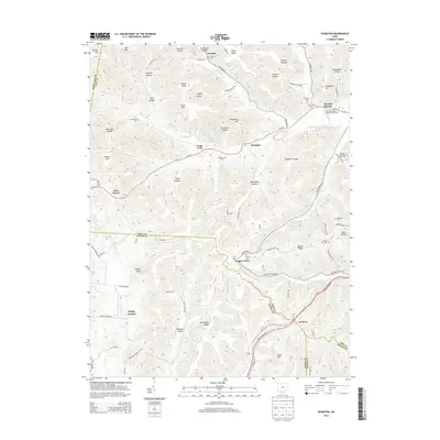 2013 Byington2013 Print · USGSSouthern Ohio's rural hills and the borderlands of Pike, Adams, Highland, and Scioto counties are documented in this 2013 survey. Genealogists and local historians can trace family locations near Kincaid Springs, Poplar Grove, and several local burial sites like Mt Zion Cem.
 - 2016 Map of Byington, 2016 Print
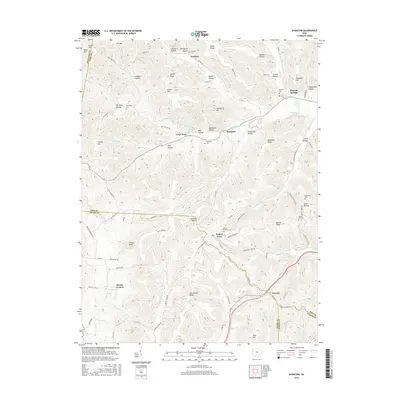 2016 Byington2016 Print · USGSThe hill country of southern Ohio is captured here in the mid-2010s at the intersection of four counties. Genealogists can locate small family burial grounds like Washburn Cem and East Cem near communities such as Newfain and Byington.
 - 2019 Map of Byington, 2019 Print
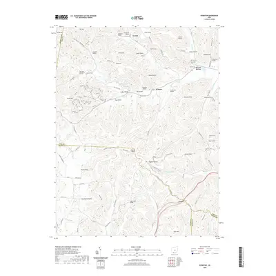 2019 Byington2019 Print · USGSSouthern Ohio's hill country is mapped here in the late 2010s, showing a landscape defined by deep hollows and family-named ridges. You can trace local roots through historic burial sites like Westwood Cem and Kincaid Cem or follow the path of the Buckeye Trail.
 - 2023 Map of Byington, 2023 Print
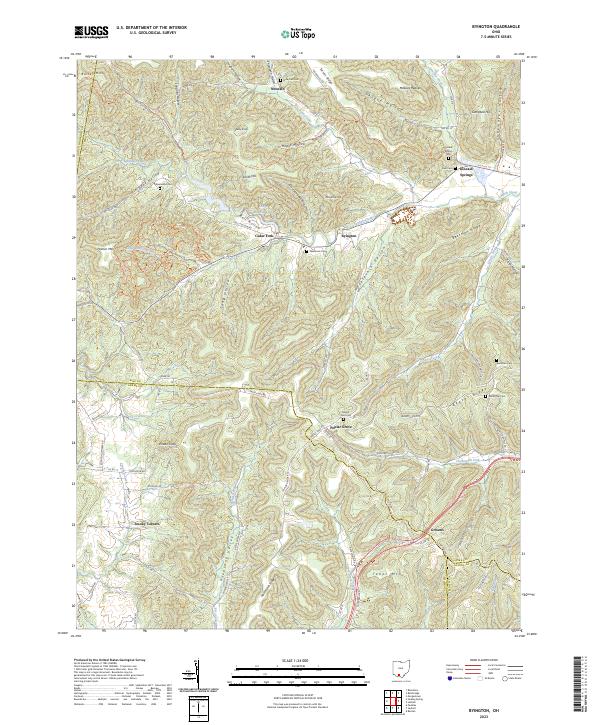 2023 Byington2023 Print · USGSSouthern Ohio’s rural landscape at the intersection of four counties is captured here in the early twenty-first century. Researchers can locate remote family burial grounds like Westwood Cem and trace the paths through Pleasant Valley and Hockleshin Hollow.
End of results
Showing maps 1-13 of 13
Top cities near Kincaid Springs
- Chillicothe historical maps
- Peebles historical maps
- Bainbridge historical maps
- Marshall historical maps
- Rarden historical maps
- Sinking Spring historical maps
Frequently asked questions
- What are the different types of historical maps available for Kincaid Springs?
- What is the oldest map of Kincaid Springs?
- Where can I purchase historical maps of Kincaid Springs for my home or office?
- Where can I download high-res historical maps of Kincaid Springs?
- Are there historical topographic maps available for Kincaid Springs?
- Is there historical aerial imagery available for Kincaid Springs?
- Where are historical maps of Kincaid Springs sourced from?