Old Maps of Kent, Ohio for Metal Detecting
Plan your next treasure hunt with 36 historic maps of Kent. Find old homesites, ghost towns, trails, and gathering spots that may be lost to time — perfect for identifying promising metal detecting locations.
- Locate forgotten sites: Uncover places like long-lost settlements, abandoned rail lines, or gathering spots.
- Plan better hunts: Use map overlays combined with LiDAR or satellite views to narrow in on historically rich areas.
- Made for detectorists: Thousands of hobbyists use these maps to discover relics, coins, and hidden history.
Use these historic maps to boost your research and find new opportunities beneath the surface of Kent.
Kent, OH maps
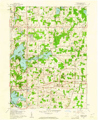
(36)- 1906 Map of Kent, 1941 Print
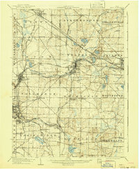 1906 Kent1941 Print · USGSPortage and Summit Counties are captured here at the height of the steam and electric rail era. Researchers can trace ancestral roots through early settlements like Tallmadge and Mogadore, or locate landmarks like the County Infirmary.2 unique versions available
 - 1950 Map of Cleveland
 1950 Cleveland1950 Print · USGSCovers Kent, including Cleveland, Akron, and other nearby areas
 - 1953 Map of Hudson, 1955 Print
 1953 Hudson1955 Print · USGSNortheast Ohio's suburban and industrial growth is captured here in the early fifties as the rail lines still dominated the landscape. Genealogists and local historians can trace family plots at Markillie Cem or locate the old Mid City Airport and Lincoln Sch.
 - 1956 Map of Cleveland, 1967 Print
 1956 Cleveland1967 Print · USGSNortheast Ohio and Western Pennsylvania are shown at their industrial height during the mid-fifties, from the steel mills to the lakeshore. Researchers can trace the massive Ravenna Arsenal, the Ohio Turnpike, and vanished rail sidings of the B & O RR.3 unique versions available
 - 1958 Map of Akron East, 1959 Print
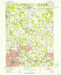
 1958 Akron East1959 Print · USGSMid-century Akron and Tallmadge show a landscape of industrial might and suburban growth just before the interstate era. Trace family roots at Ellet Memorial Cem or explore aviation landmarks like the Goodyear Airdock and Derby Downs.
 - 1960 Map of Kent, 1961 Print
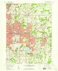
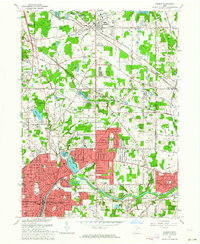
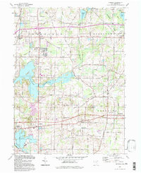
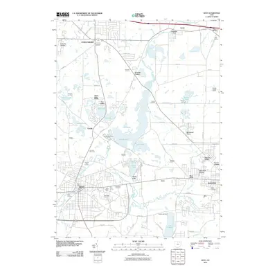
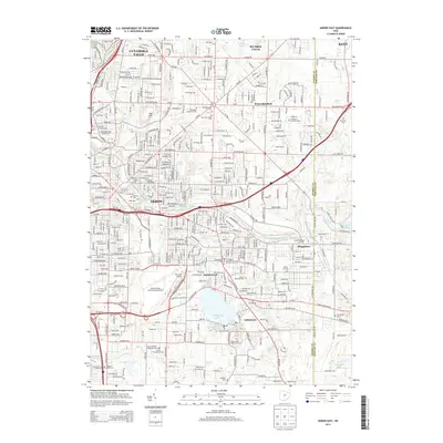
 1960 Kent1961 Print · USGSMid-century Portage County is defined here by the industrial growth of Kent and the sprawling waters of Lake Rockwell. Genealogists can trace family names through Standing Rock Cem and Streetsboro Cem or locate early campus buildings at Kent State University.5 unique versions available
 - 1960 Map of Suffield, 1961 Print
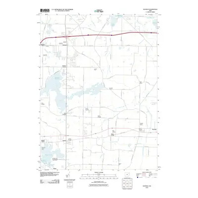
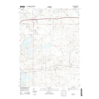
 1960 Suffield1961 Print · USGSPortage County in the early sixties shows a landscape of glacial lakes and growing townships centered around the Connecticut Western Reserve. Local researchers can trace the Blimp Landing Field near Suffield or locate family plots at North Dyke Cem and Randolph Hillside Cem.2 unique versions available
 - 1962 Map of Cleveland
 1962 Cleveland1962 Print · USGSNortheast Ohio and the Pennsylvania borderlands appear here during the industrial peak of the early sixties. Genealogists and historians can trace the expansive rail lines of the Nickel Plate Road and the growth of suburbs from Parma to Lyndhurst.
 - 1963 Map of Hudson, 1964 Print
 1963 Hudson1964 Print · USGSNortheastern Ohio’s suburban landscape comes into focus in the early sixties as the cities of the Cuyahoga Valley expand. Genealogists can locate family sites at Markillie Cem or Draper Cem, and trace the grounds of Western Reserve Academy or the quiet settlement of Darrowville.4 unique versions available
 - 1967 Map of Akron East, 1969 Print
 1967 Akron East1969 Print · USGSSummit County's industrial heart and growing suburbs are captured here during the late sixties. Trace the footprint of aviation history at the Goodyear Airdock and explore the rail networks of the Erie-Lackawanna RR and Penn Central.6 unique versions available
 - 1986 Map of Cleveland South
 1986 Cleveland South1986 Print · USGSNortheast Ohio in the mid-eighties shows the expanding reach of the Akron and Cleveland suburbs into the surrounding countryside. Trace the industrial rail networks of the Erie Lackawanna RR or find local landmarks like Kent State University and the Ravenna Arsenal.
 - 1994 Map of Cleveland South
 1994 Cleveland South1994 Print · USGSThe metropolitan corridor between Akron and Cleveland is shown here in the mid-nineties during a period of significant suburban growth. Researchers can trace the path of the Ohio Turnpike or explore expansive recreation lands like West Branch State Park.
 - 1994 Map of Kent, 1997 Print
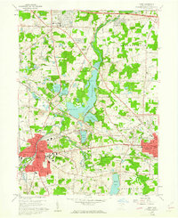
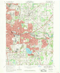
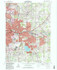
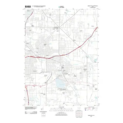
 1994 Kent1997 Print · USGSPortage County in the mid-nineties shows a landscape shaped by glacial waters and academic growth. Trace family and local history at Standing Rock Cem, Kent State University, and the unique Kent Bog State Nature Preserve.
 - 1994 Map of Suffield, 1997 Print
 1994 Suffield1997 Print · USGSPortage County at the close of the twentieth century remains a landscape of traditional township centers and significant water features. Researchers can trace local heritage through the Blimp Landing Field, St Michaels Ch, and the Upson-Meacham Cem.
 - 1994 Map of Akron East, 1997 Print
 1994 Akron East1997 Print · USGSEastern Akron and its neighbors in the mid-1990s show a region shaped by industry and aviation. Researchers can trace local history at the Goodyear Airdock, Tallmadge Cemetery, and the shores of Springfield Lake.
 - 1994 Map of Hudson, 2000 Print
 1994 Hudson2000 Print · USGSNortheast Ohio's suburban landscape comes into focus during the 1990s as the cities of Hudson and Stow expand toward the Cuyahoga Valley. Genealogists and local historians can trace legacy sites like Western Reserve Academy and Markillie Cem amidst the era's growing neighborhoods.
 - 2010 Map of Hudson, 2010 Print
 2010 Hudson2010 Print · USGSCovers Kent, including Cuyahoga Falls, Stow, and other nearby areas
 - 2010 Map of Kent, 2010 Print
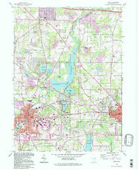
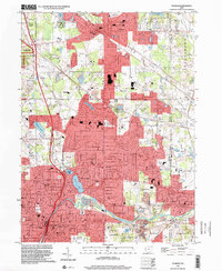
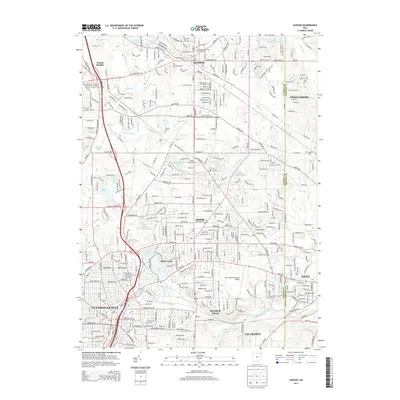
 2010 Kent2010 Print · USGSCovers Kent, including Streetsboro, Ravenna, and other nearby areas
 - 2010 Map of Suffield, 2010 Print
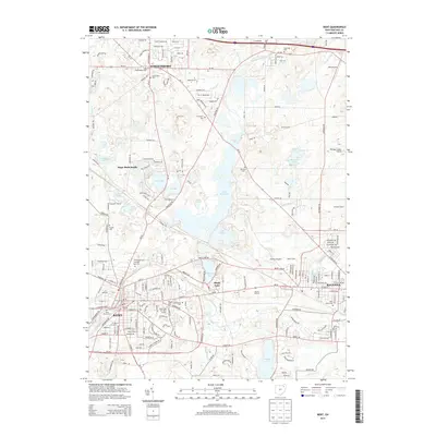
 2010 Suffield2010 Print · USGSCovers Kent, including Brimfield, Suffield, and other nearby areas
 - 2010 Map of Akron East, 2010 Print
 2010 Akron East2010 Print · USGSCovers Kent, including Akron, Cuyahoga Falls, and other nearby areas
 - 2013 Map of Hudson, 2013 Print
 2013 Hudson2013 Print · USGSCovers Kent, including Cuyahoga Falls, Stow, and other nearby areas
 - 2013 Map of Akron East, 2013 Print
 2013 Akron East2013 Print · USGSCovers Kent, including Akron, Cuyahoga Falls, and other nearby areas
 - 2013 Map of Suffield, 2013 Print
 2013 Suffield2013 Print · USGSCovers Kent, including Brimfield, Suffield, and other nearby areas
 - 2013 Map of Kent, 2013 Print
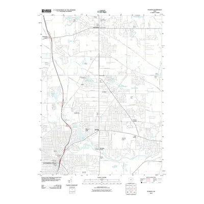
 2013 Kent2013 Print · USGSCovers Kent, including Streetsboro, Ravenna, and other nearby areas
 - 2016 Map of Suffield, 2016 Print
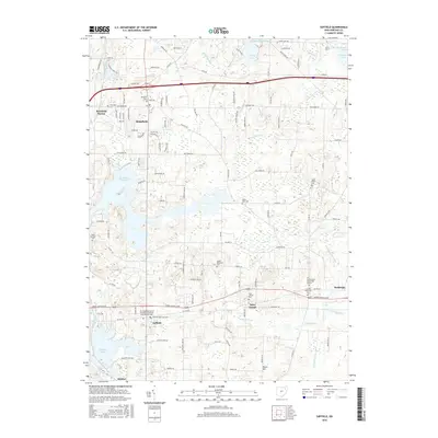 2016 Suffield2016 Print · USGSCovers Kent, including Brimfield, Suffield, and other nearby areas
Showing maps 1-25 of 36
Top cities near Kent
- Akron historical maps
- Cuyahoga Falls historical maps
- Stow historical maps
- Green historical maps
- Barberton historical maps
- Solon historical maps
See more
Top neighborhoods of Kent
- Science Mall historical maps
- Oak Hills historical maps
- Centennial Court historical maps
- The Quad historical maps
- Downtown historical maps
- University Woods historical maps
See more
Frequently asked questions
- What are the different types of historical maps available for Kent?
- What is the oldest map of Kent?
- Where can I purchase historical maps of Kent for my home or office?
- Where can I download high-res historical maps of Kent?
- Are there historical topographic maps available for Kent?
- Is there historical aerial imagery available for Kent?
- Where are historical maps of Kent sourced from?