Old Maps of Bloom Township, Ohio
Explore 39 old maps of Bloom Township, spanning from 1906 to today. These high-resolution historic maps reveal how streets, neighborhoods, landmarks, and natural features evolved over time — perfect for genealogy, metal detecting, research, and local history exploration.
What you can do with these maps:
- See how Bloom Township changed over time: Compare historical maps to modern-day views to trace roads, homesites, rail lines & more.
- View detailed metadata: Each map includes creators, publishers, year, scale, and archive source.
- Overlay maps with satellite & LiDAR: Visualize the past alongside modern tools to explore terrain & human change.
- Trusted historical sources: Maps sourced from the USGS, Library of Congress, and other archives.
- Access maps your way: View online, download high-res files, or order prints for personal or research use.
Start exploring old maps of Bloom Township to uncover forgotten places, hidden landmarks, and the deep history beneath your feet.
Bloom Township, OH maps
(39)- 1906 Map of Sycamore, 1932 Print
 1906 Sycamore1932 Print · USGSThe rural heart of north-central Ohio is captured here at the height of its steam-rail era. Genealogists and local historians can trace family locations near Sycamore, Nevada, and Belle Vernon, or locate landmarks like Oakgrove School and the Rock Run Church.
 - 1906 Map of Tiffin, 1948 Print
 1906 Tiffin1948 Print · USGSSeneca County's rail-and-river network is frozen in time during the first decade of the 1900s. Genealogists can trace family roots through vanished stops like Linden or follow the Seneca Indian Reservation Boundary past Tiffin and Bloomville.
 - 1915 Map of Siam, 1936 Print
 1915 Siam1936 Print · USGSThe Seneca and Huron county borderlands are shown here in the years following the turn of the century as railroads and drainage projects transformed the landscape. Researchers can trace the legacy of small communities and rural education at Siam, Attica Junction, and the Podunk School.2 unique versions available
 - 1915 Map of Bucyrus, 1940 Print
 1915 Bucyrus1940 Print · USGSBucyrus and the surrounding Crawford County plains are captured here at the height of the steam-and-electric rail era. Genealogists can locate rural landmarks like the COUNTY INFIRMARY, trace family plots near Leesville, or find vanished schoolhouses like Muck School.
 - 1943 Map of Bucyrus
 1943 Bucyrus1943 Print · USGSCrawford County at the height of the Second World War reveals a landscape defined by busy rail junctions and rural school districts. Genealogists and historians can trace family roots through numerous numbered schoolhouses and settlements like Sulphur Springs, Tiro, and the County Infirmary.
 - 1950 Map of Marion
 1950 Marion1950 Print · USGSCentral Ohio was a powerhouse of rail and river industry at the mid-century point, serving as a vital corridor between the Great Lakes and the Ohio River valley. Genealogists and rail historians can trace the paths of the Erie RR and Nickel Plate Road through towns like Bucyrus, Galion, and Upper Sandusky.
 - 1956 Map of Toledo, 1968 Print
 1956 Toledo1968 Print · USGSNorthwest Ohio and the Lake Erie shoreline are shown in detail during the late fifties, showcasing a landscape of heavy industry, railroads, and island communities. Genealogists and historians can trace rail networks like the Chesapeake & Ohio RR or locate landmarks such as the Erie Proving Ground and Kelleys Island.4 unique versions available
 - 1960 Map of Bloomville, 1961 Print
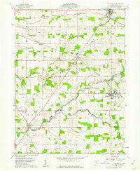 1960 Bloomville1961 Print · USGSSeneca County in the early 1960s was a landscape of established rail towns and rural homesteads. Local historians can trace the paths of the Baltimore and Ohio and PENNSYLVANIA railroads as they connect hubs like Republic, Bloomville, and Melmore.5 unique versions available
 - 1960 Map of Lykens, 1961 Print
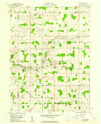 1960 Lykens1961 Print · USGSCrawford County at the start of the sixties reveals a landscape of established farmsteads and old township lines. Researchers can trace the Old Indian Treaty Boundary and locate family burial sites like Lee Cem or Freewill Cem.2 unique versions available
 - 1960 Map of Chatfield, 1961 Print
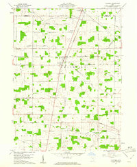 1960 Chatfield1961 Print · USGSCrawford County's rural landscape is captured here in the early sixties, showing the agricultural heart of northern Ohio. Researchers can locate numerous family-history landmarks, from the Windfall Cem to local congregational sites like Broken Sword Ch and St Paul Ch.2 unique versions available
 - 1960 Map of Attica, 1961 Print
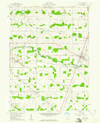 1960 Attica1961 Print · USGSSeneca County's agricultural heartland is documented here in the early sixties, showing the rail-dependent growth of Attica and its neighboring hamlets. Researchers can trace family history through landmarks like St Stephens Cem and the small settlement of Siam.3 unique versions available
 - 1961 Map of Toledo
 1961 Toledo1961 Print · USGSThe western basin of Lake Erie and the industrial heart of Northern Ohio are captured here during the post-war era. Researchers can trace historical rail lines like the New York Central or locate landmarks like the Erie Ordnance Depot and Pelee Island.
 - 1962 Map of Marion
 1962 Marion1962 Print · USGSCentral Ohio during the post-war era showcases a dense network of railroad towns and emerging interstate highways. Genealogists can trace family roots in smaller settlements like Houcktown and Marseilles or locate landmarks near Indian Lake.
 - 1966 Map of Marion, 1968 Print
 1966 Marion1968 Print · USGSCentral Ohio in the mid-sixties is captured during a period of rapid highway expansion and industrial connectivity. Genealogists and historians can trace rail-and-river networks through towns like Marion, Urbana, and Mount Vernon, or locate landmarks such as Malabar Farm and Black Hand Rock.3 unique versions available
 - 1986 Map of Mansfield
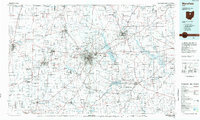 1986 Mansfield1986 Print · USGSNorth-central Ohio in the mid-eighties shows a landscape of industrial towns and large-scale water management projects. Researchers can trace historic sites like the Mansfield Reformatory, Malabar Farm State Park, and the racing grounds at Mid-Ohio Race Course.
 - 1986 Map of Marion
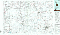 1986 Marion1986 Print · USGSNorthwest Ohio's agricultural and rail heartland is captured here in the mid-1980s, centered on the expansion of Marion and Kenton. Genealogists can trace family footprints near Bluffton College, old rail stops like Dola, and landmarks such as Indian Lake State Park.2 unique versions available
 - 1986 Map of Lorain
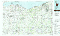 1986 Lorain1986 Print · USGSThe Lake Erie shoreline and North Central Ohio interior are shown in detail during the mid-eighties, from the industrial docks of Lorain to the peninsulas of Sandusky. Researchers can trace historic transport routes like the Baltimore and Ohio Railroad or locate significant landmarks like Oberlin College and Cedar Point.2 unique versions available
 - 1986 Map of Findlay
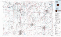 1986 Findlay1986 Print · USGSNorthwest Ohio's industrial and agricultural heartland is documented here in the mid-1980s, centered on the major hubs of Findlay, Fostoria, and Tiffin. Researchers can trace the intersections of the BALTIMORE AND OHIO railroad and family sites near Greenlawn Cem or Sagar Ridge.2 unique versions available
 - 1994 Map of Mansfield
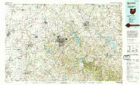 1994 Mansfield1994 Print · USGSThe Mansfield and Ashland corridor of the 1990s reveals a landscape of industrial rail junctions and extensive state forests. You can trace the drainage of the Mohican River through reservoirs like Charles Mill Lake or locate sites such as Malabar Farm State Park.
 - 2010 Map of Bloomville, 2010 Print
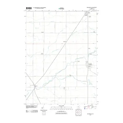 2010 Bloomville2010 Print · USGSSeneca County's rural landscape at the start of the 2010s reveals a deeply rooted network of farming communities and crossroads. Genealogists and local historians can trace family ties through numerous sites like Scipio Township Cemetery, Bloomville, and Melmore.
 - 2010 Map of Lykens, 2010 Print
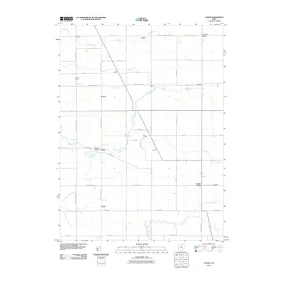 2010 Lykens2010 Print · USGSCrawford County at the start of the 2010s reveals a persistent rural landscape defined by family history and small hamlets. Genealogists can trace local heritage through numerous sites like Texas Township Cemetery, Pipetown Cemetery, and the settlement of Broken Sword.
 - 2010 Map of Chatfield, 2010 Print
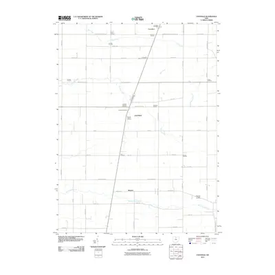 2010 Chatfield2010 Print · USGSCrawford County's rural townships are shown here in the mid-2000s, characterized by a dense network of family-named burial sites and small crossroads hamlets. Researchers can locate dozens of pioneer landmarks like Lust Cemetery, Windfall Cemetery, and the Carrothers Post Office.
 - 2010 Map of Attica, 2010 Print
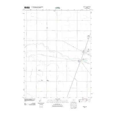 2010 Attica2010 Print · USGSSeneca County at the start of the twenty-first century reveals a landscape defined by its rural intersections and legacy of faith. Genealogists can trace family lines through Saint Stephens Cemetery, Armstrong Cemetery, and the Mennonite Cemetery.
 - 2013 Map of Lykens, 2013 Print
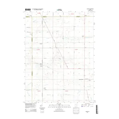 2013 Lykens2013 Print · USGSCovers Bloom Township, including Lykens, Eden Township, and other nearby areas
 - 2013 Map of Chatfield, 2013 Print
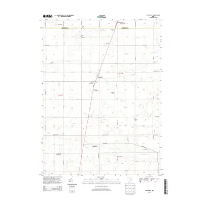 2013 Chatfield2013 Print · USGSCrawford County's rural townships are documented here during the early twenty-first century, centered on the crossroads of Chatfield. Genealogists can locate several historic burial sites like Windfall Cem and Brenner Cem among the headwaters of Silver Cr.
Showing maps 1-25 of 39
Top cities near Bloom Township
- Tiffin historical maps
- Bucyrus historical maps
- Upper Sandusky historical maps
- Bellevue historical maps
- Scipio historical maps
- Bloomville historical maps
See more
Top neighborhoods of Bloom Township
Frequently asked questions
- What are the different types of historical maps available for Bloom Township?
- What is the oldest map of Bloom Township?
- Where can I purchase historical maps of Bloom Township for my home or office?
- Where can I download high-res historical maps of Bloom Township?
- Are there historical topographic maps available for Bloom Township?
- Is there historical aerial imagery available for Bloom Township?
- Where are historical maps of Bloom Township sourced from?