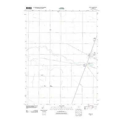
2010 Map of Attica
USGS Topo · Published 2010About this map
Honey Creek meanders through the central landscape of Seneca County, providing a natural break in the geometric grid of township roads that define this agricultural region. The village of Attica serves as the primary hub, where the Attica Post Office and multiple burial grounds, including Attica Cemetery and Saints Peter and Paul Cemetery, reflect the long-standing community roots. Further south, the settlement of Saint Stephens remains anchored by the Saint Stephens Cemetery, while smaller locales like Siam and Caroline dot the rural intersections. The engineering of the local landscape is evident in the extensive drainage network, including the Bollinger Ditch and Aichholz Ditch, which support the surrounding farmland. To the east, the Attica Upground Reservoir and the Attica Upground Reservoir Dam represent a significant modern modification to the water table, providing a structured contrast to the smaller, family-named landmarks and historic cemeteries that characterize the area's local history and genealogy.
Find a feature on this map
44 named features on this map. Tap any name to fly to it.
Don’t see what you’re looking for? This feature index may not catch every label — zoom into the map to look around manually.
Map Details
Editions of this 2010 Attica Map
This is the sole edition of this map. No revisions or reprints were ever made.
Other maps of this area

1906 · Sycamore
USGS Topo · 1:62,500

1906 · Tiffin
USGS Topo · 1:62,500

1915 · Siam
USGS Topo · 1:62,500

1915 · Bucyrus
USGS Topo · 1:62,500

1943 · Bucyrus
USGS Topo · 1:62,500

1950 · Marion
USGS Topo · 1:250,000

1956 · Toledo
USGS Topo · 1:250,000
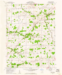
1960 · Watson
USGS Topo · 1:24,000
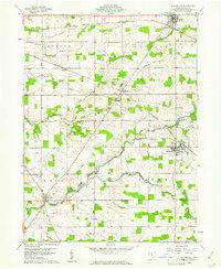
1960 · Bloomville
USGS Topo · 1:24,000
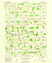
1960 · Lykens
USGS Topo · 1:24,000