1900s (20th Century) Maps of Trumbull County, Ohio
Explore 65 historic maps of Trumbull County from the 1900s (20th Century). These maps offer a rare glimpse into what life looked like during the 1900s — showing old roads, neighborhoods, homes, and landmarks that have changed or disappeared over time.
Whether you're researching your family's past, planning a metal detecting trip, or studying how Trumbull County's landscape evolved across the 1900s, these high-resolution maps are a powerful tool for exploring the history of this region.
- Focus on a specific era: All maps on this page are from the 1900s, giving you a focused view of this time period.
- See what’s changed: Compare century-old streets, trails, and buildings to today's modern landscape using overlays and satellite layers.
- Research with precision: Use these maps for genealogy, historical research, land use analysis, or educational projects.
- View, download, or print: Maps are fully viewable online in high resolution, and can be downloaded or printed for your own records.
Start exploring Trumbull County's history through authentic maps from the 1900s. This is your window into the past.
Trumbull County, OH maps
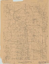
(65)- 1904 Map of Chardon, 1962 Print
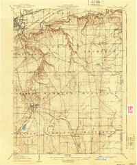
 1904 Chardon1962 Print · USGSGeauga and Lake Counties are shown here during the early twentieth century, just as the region's electric and steam rail networks were at their peak. Researchers can trace the routes of the Cleveland and Chardon Electric RR and find local landmarks like Indian Point or the Infirmary.
 - 1905 Map of Andover
 1905 Andover1905 Print · USGSAshtabula County and the Pennsylvania border are shown here at the height of the steam era, before modern highways transformed these rural townships. Genealogists and researchers can locate early congregations like South Denmark Church and trace the paths of the Cooperage Co RR or the Lake Shore and Michigan Southern Railroad.3 unique versions available
 - 1905 Map of Bristolville, 1956 Print
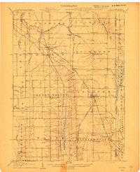
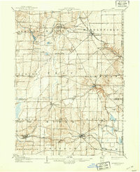
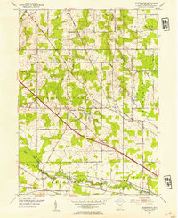
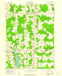
 1905 Bristolville1956 Print · USGSTrumbull County at the start of the century was a landscape of thriving rail-connected hamlets and winding river valleys. Genealogists can trace family footprints through historic townships to settlements like Delightful, West Farmington, and the old county Infirmary.
 - 1905 Map of Garrettsville, 1958 Print
 1905 Garrettsville1958 Print · USGSNortheastern Ohio is shown here at the start of the twentieth century, during a period of heavy rail and traction expansion across Geauga and Portage counties. Genealogists can trace early homesteads near Hiram Rapids, Nelson, and family-named landmarks like Newels Ledge or Steele Crossing.
 - 1905 Map of Jefferson, 1959 Print
 1905 Jefferson1959 Print · USGSAshtabula County at the start of the twentieth century shows a landscape of growing railroad towns and early pioneer settlements. Genealogists can trace family footprints through sites like the Amish Church, New England Schoolhouse, and vanished stops like Rock Creek Station.
 - 1906 Map of Chardon, 1940 Print
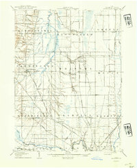
 1906 Chardon1940 Print · USGSGeauga and Lake Counties are mapped here during the era of steam and electric rail, showing the landscape between Chardon and Painesville. Researchers can trace old township boundaries and find landmarks like the Infirmary, Bass Lake, and the New York Chicago and St Louis RR.2 unique versions available
 - 1906 Map of Youngstown, 1958 Print
 1906 Youngstown1958 Print · USGSThe Mahoning Valley's industrial heartland is caught at its early twentieth-century peak, showing the massive rail and steel infrastructure at the state border. Researchers can trace the lineage of local neighborhoods and schools like Hell Street School, Idora Park, and Tibbetts Corners.
 - 1906 Map of Ravenna, 1961 Print
 1906 Ravenna1961 Print · USGSPortage County at the turn of the century was a network of rail-side hamlets and one-room schoolhouses. Genealogists can trace family roots through specific stops like New Milford Rootstown Sta and rural landmarks such as Whippoorwill School.
 - 1907 Map of Andover
 1907 Andover1907 Print · USGSThe Ohio-Pennsylvania borderlands near Andover are captured here during a period of significant railway expansion. Local historians can trace early mail routes and church sites like the Williamsfield P O, South Denmark Church, and the vanished crossroads of Padanaram.4 unique versions available
 - 1907 Map of Kinsman, 1940 Print
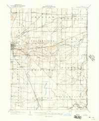
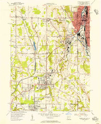
 1907 Kinsman1940 Print · USGSEastern Trumbull County thrived at the start of the century as a vital crossroads of Ohio and Pennsylvania rail lines. Local historians can trace the foundations of Kinsman, Orangeville, and the remote State Line Church during the height of the steam rail era.2 unique versions available
 - 1907 Map of Bristolville, 1943 Print
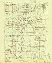
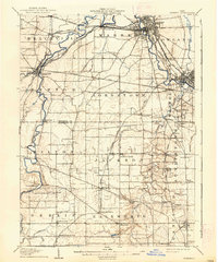
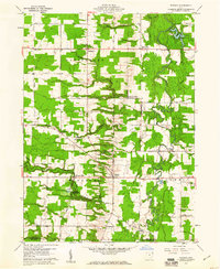
 1907 Bristolville1943 Print · USGSTrumbull County at the turn of the century shows a landscape defined by the Grand River and an expanding rail network. Genealogists can trace family roots through historic townships and small stops like West Farmington, Mesopotamia, and the Infirmary south of Oakfield.
 - 1907 Map of Jefferson, 1943 Print
 1907 Jefferson1943 Print · USGSAshtabula County at the start of the twentieth century is centered here on Jefferson and its surrounding agricultural townships. Genealogists can trace family footprints across old settlements like Windsor Mills, find the Amish Church, or locate the New England Schoolhouse.
 - 1907 Map of Garrettsville, 1943 Print
 1907 Garrettsville1943 Print · USGSThe Western Reserve landscape of the early 1900s comes alive in this survey of Geauga and Portage counties. Trace the vanished routes of the Eastern Ohio Traction line or locate family-named settlements like Bundysburg and Smith Crossing.2 unique versions available
 - 1908 Map of Youngstown, 1937 Print
 1908 Youngstown1937 Print · USGSThe Mahoning Valley at the height of its industrial boom is defined by a massive concentration of rail lines and riverfront steel towns. Genealogists and historians can trace the footprint of early neighborhood schools like Bell School, find the original layout of Idora Park, and locate vanished rail stops along the ERIE RAILROAD.2 unique versions available
 - 1908 Map of Warren, 1937 Print
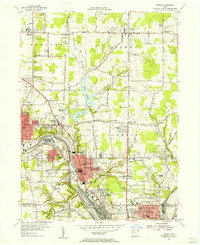
 1908 Warren1937 Print · USGSTrumbull and Mahoning counties at the turn of the century show a landscape defined by the heavy rail corridors of the Mahoning River valley. Genealogists can trace family footprints near Russell School, the Infirmary, and early settlements like Mineral Ridge.2 unique versions available
 - 1908 Map of Ravenna, 1946 Print
 1908 Ravenna1946 Print · USGSPortage County at the dawn of the twentieth century was a vital crossroads of major rail lines and rural townships. Genealogists can trace family footprints across several rural schools like Evergreen School and vanished depots such as Palmyra Sta or Freedom Station.2 unique versions available
 - 1950 Map of Cleveland
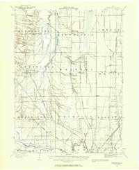
 1950 Cleveland1950 Print · USGSCovers Trumbull County, including Cleveland, Akron, and other nearby areas
 - 1952 Map of West Farmington, 1954 Print
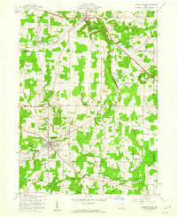
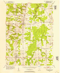 1952 West Farmington1954 Print · USGSTrumbull County's rural townships are documented here in the early fifties, showing a landscape of small farming communities and historic road networks. Researchers can trace the path of the Baltimore and Ohio railroad or locate family plots at Hillside Cem and Fairview Cem.3 unique versions available
 - 1952 Map of Southington, 1954 Print
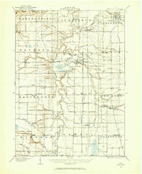
 1952 Southington1954 Print · USGSTrumbull County in the early fifties shows a landscape of traditional township grids and strategic rail corridors. Genealogists and local historians can trace family locations near Southington, the Reform Cem, and the river community of Phalanx.3 unique versions available
 - 1954 Map of Sharon West, 1956 Print
 1954 Sharon West1956 Print · USGSThe industrial heart of the Ohio-Pennsylvania border comes alive in the mid-1950s, centered on the bustling rail hubs and river towns. Researchers can trace family history through the neighborhoods of Hubbard, locate the Slope Ch, or study the grounds of Oakwood Cem.
 - 1954 Map of Girard, 1956 Print
 1954 Girard1956 Print · USGSThe Mahoning River valley in the mid-1950s shows an industrial powerhouse at its peak, dominated by a dense rail network. Genealogists and local historians can trace family locations near Girard and McDonald, or locate sites like St Rose Sch and Tod Homestead Cemetery.
 - 1956 Map of Cleveland, 1967 Print
 1956 Cleveland1967 Print · USGSNortheast Ohio and Western Pennsylvania are shown at their industrial height during the mid-fifties, from the steel mills to the lakeshore. Researchers can trace the massive Ravenna Arsenal, the Ohio Turnpike, and vanished rail sidings of the B & O RR.3 unique versions available
 - 1959 Map of Garrettsville, 1960 Print
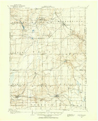
 1959 Garrettsville1960 Print · USGSGarrettsville and the surrounding townships are captured in the late fifties, showing a landscape defined by the Western Reserve survey grid and rocky ledges. Researchers can locate several family cemeteries, the Erie RR line, and landmarks like Nelson Ledge State Park.3 unique versions available
 - 1959 Map of East Claridon, 1961 Print
 1959 East Claridon1961 Print · USGSGeauga County in the late fifties remains a rural landscape of headwater creeks and small crossroads settlements. Genealogists and historians can trace family locations along Chardon-Windsor Road or locate the old Huntsburg Cem and Culbertsons Corners.3 unique versions available
 - 1959 Map of Windsor, 1961 Print
 1959 Windsor1961 Print · USGSAshtabula County townships such as Hartsgrove and Windsor are seen here in the late fifties as a landscape of steady agricultural life. Genealogists and historians can trace family road names and locate old burial grounds like Pioneer Cemetery and Southeast Hartsgrove Cemetery.2 unique versions available
Showing maps 1-25 of 65
Top cities of Trumbull County
- Warren historical maps
- Weathersfield Township historical maps
- Howland Township historical maps
- Champion Township historical maps
- Newton Township historical maps
- Brookfield Township historical maps
See more
Frequently asked questions
- What are the different types of historical maps available for Trumbull County?
- What is the oldest map of Trumbull County?
- Where can I purchase historical maps of Trumbull County for my home or office?
- Where can I download high-res historical maps of Trumbull County?
- Are there historical topographic maps available for Trumbull County?
- Is there historical aerial imagery available for Trumbull County?
- Where are historical maps of Trumbull County sourced from?