Old Maps of Liberty Township, Ohio for Academic Research
Study the evolution of Liberty Township with 35 high-resolution historic maps. Whether you're teaching, researching, or modeling changes in land use, these maps provide essential visual documentation of urban, environmental, and geographic change.
- Analyze long-term change: Track patterns in development, transportation, and natural features.
- Ideal for environmental or urban studies: Support academic projects with primary historical map data.
- Use in the classroom or lab: Educators and researchers rely on these maps to bring historical context to life.
These maps are a powerful tool for teaching, research, and visualizing how Liberty Township has changed over the decades.
Liberty Township, OH maps
(35)- 1913 Map of East Liberty, 1961 Print
 1913 East Liberty1961 Print · USGSLogan and Union counties are shown here just before the First World War, when a dense network of country schools and steam railroads bound the countryside together. Genealogists can trace family footprints at Marl City, Indian Mound School, or the Greenville Treaty Line.
 - 1913 Map of Richwood, 1962 Print
 1913 Richwood1962 Print · USGSUnion County during the pre-war era was a thriving network of rural schools and rail junctions centered around Richwood. Genealogists and historians can trace the exact locations of dozens of district schoolhouses like Deadwood School and vanished stations along the Erie Railroad.
 - 1915 Map of Richwood, 1936 Print
 1915 Richwood1936 Print · USGSUnion County farming communities are caught in detail just before the Great War, showing a landscape defined by small-town rail commerce and rural schools. Genealogists can trace family connections through dozens of named sites like Magnetic Springs, the County Infirmary, and Grace Temple School.
 - 1915 Map of East Liberty, 1941 Print
 1915 East Liberty1941 Print · USGSLogan County at the start of the twentieth century shows a landscape of established rail hubs and numerous rural school districts. Genealogists can trace family roots through landmarks like Zanesfield, Bethany School, and the historic Greenville Treaty Line.
 - 1944 Map of East Liberty
 1944 East Liberty1944 Print · USGSThe rail-and-river network of Logan County is at its peak in the 1940s, connecting small farming towns across the Central Ohio landscape. Local researchers can trace family landmarks like Bethany Sch, the Treaty Line, and the high peak at Campbell Hill.
 - 1944 Map of Richwood
 1944 Richwood1944 Print · USGSMid-century Union County is captured here at the height of the rural rail-and-road era. Genealogists and historians can trace family roots through an exceptional density of country schools like Deadwood Sch and Sunnyside Sch, or locate vanished homesteads near Arbela and Claiborne.
 - 1950 Map of Marion
 1950 Marion1950 Print · USGSCentral Ohio was a powerhouse of rail and river industry at the mid-century point, serving as a vital corridor between the Great Lakes and the Ohio River valley. Genealogists and rail historians can trace the paths of the Erie RR and Nickel Plate Road through towns like Bucyrus, Galion, and Upper Sandusky.
 - 1961 Map of East Liberty
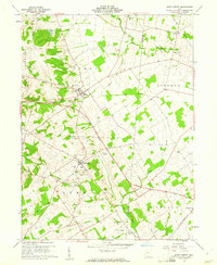 1961 East Liberty1961 Print · USGSCentral Ohio farmland at the start of the 1960s reveals a dense network of family cemeteries and rural schools. Genealogists can trace local roots through sites like Quaker Cem and Middleburg Cem, or locate the Old Railroad Grade near East Liberty.4 unique versions available
 - 1961 Map of Peoria, 1962 Print
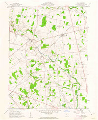 1961 Peoria1962 Print · USGSUnion County's agricultural heartland is documented here in the early sixties, showing the crossroads of the ERIE-LACKAWANNA and NEW YORK CENTRAL rails. Researchers can trace family history through numerous landmarks like Raymond Cem, Asbury Cem, and Northwestern High Sch.4 unique versions available
 - 1961 Map of York Center, 1963 Print
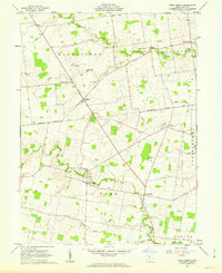 1961 York Center1963 Print · USGSUnion County's rural landscape is captured in the early sixties, showing the agricultural heart of the Virginia Military District. Trace local history through the Greenville Treaty Line or explore old sites like Grace Chapel, Camp Union, and Byhalia Cem.2 unique versions available
 - 1961 Map of West Mansfield, 1963 Print
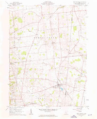 1961 West Mansfield1963 Print · USGSWest Mansfield and the surrounding rural townships of Logan and Union counties are shown here in the early 1960s. Researchers can trace the legacy of early settlers through numerous landmarks like Quaker Cem, the diagonal Treaty Line, and the New York Central rail corridor.3 unique versions available
 - 1962 Map of Marion
 1962 Marion1962 Print · USGSCentral Ohio during the post-war era showcases a dense network of railroad towns and emerging interstate highways. Genealogists can trace family roots in smaller settlements like Houcktown and Marseilles or locate landmarks near Indian Lake.
 - 1966 Map of Marion, 1968 Print
 1966 Marion1968 Print · USGSCentral Ohio in the mid-sixties is captured during a period of rapid highway expansion and industrial connectivity. Genealogists and historians can trace rail-and-river networks through towns like Marion, Urbana, and Mount Vernon, or locate landmarks such as Malabar Farm and Black Hand Rock.3 unique versions available
 - 1986 Map of Bellefontaine
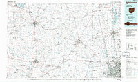 1986 Bellefontaine1986 Print · USGSWest Central Ohio in the mid-1980s reveals a landscape of growing metropolitan fringes and established rural centers. Researchers can trace historic cemeteries and civic institutions from Oak Grove Cem to the State Reformatory For Women and Cedar Bog State Nature Preserve.
 - 1992 Map of Bellefontaine
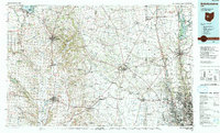 1992 Bellefontaine1992 Print · USGSWest-central Ohio in the early nineties reveals a blend of high-plateau geography and growing suburban corridors near the state capital. Genealogists can trace family connections to landmarks like Mount Tabor Church, Oak Grove Cemetery, and the high ground of Campbell Hill.
 - 2010 Map of East Liberty, 2010 Print
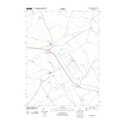 2010 East Liberty2010 Print · USGSThe crossroads of East Liberty and Middleburg are shown here during their modern transition into an automotive research hub. Researchers can trace family roots through a dense network of local burial grounds including Quaker Cemetery and Sharp Cemetery.
 - 2010 Map of Peoria, 2010 Print
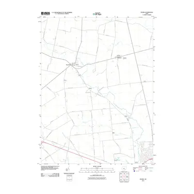 2010 Peoria2010 Print · USGSUnion County farmland at the start of the 2010s reveals a deeply settled rural landscape along Mill Creek. Researchers can trace old family lineages through numerous local burial grounds like Asbury Cemetery and Hamilton Cemetery or the historic centers of Peoria and Raymond.
 - 2010 Map of York Center, 2010 Print
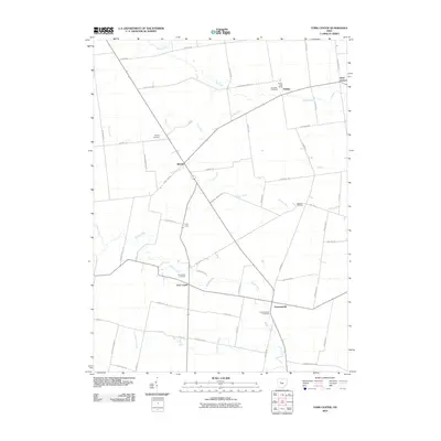 2010 York Center2010 Print · USGSUnion County's agricultural heartland is captured here in the early twenty-first century, showcasing a landscape of established family farms and rural hamlets. Genealogists can locate several historic burial grounds like York Center Cemetery and Sommersville Cemetery near Camp Union.
 - 2010 Map of West Mansfield, 2010 Print
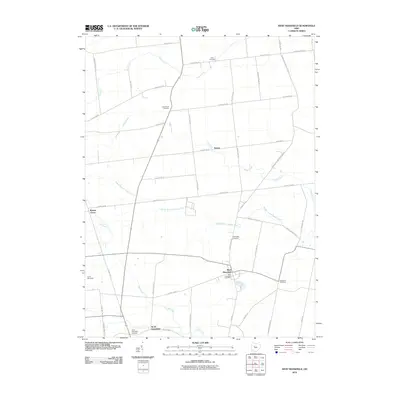 2010 West Mansfield2010 Print · USGSWest Mansfield and its surrounding townships are shown here in the first decade of the 2000s, captured as a settled landscape of farms and small villages. Genealogists can trace family locations through several burial grounds like Good Hope Cemetery and Southard Cemetery or the rural community at North Greenfield.
 - 2013 Map of West Mansfield, 2013 Print
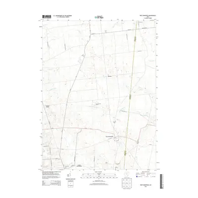 2013 West Mansfield2013 Print · USGSLogan County and Union County farmland is mapped here in detail during the early 2010s. Genealogists and historians can trace numerous family burial sites such as Hathaway Cem and Southard Cem, alongside settlements like North Greenfield.
 - 2013 Map of Peoria, 2013 Print
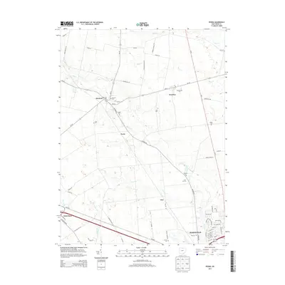 2013 Peoria2013 Print · USGSUnion County's rural landscapes northwest of Marysville are shown in detail during the early twenty-first century. Genealogists can trace family heritage through numerous burial sites like Ford Cem, Hamilton Cem, and Asbury Cem near the hamlets of Peoria and Raymond.
 - 2013 Map of York Center, 2013 Print
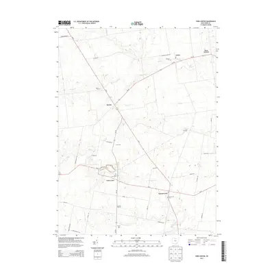 2013 York Center2013 Print · USGSUnion County farmland near the turn of the twenty-first century reveals a landscape still anchored by its rural hamlets and small cemeteries. Genealogists can trace family names at Burnside Cem or locate old community hubs like Byhalia and Arbela.
 - 2013 Map of East Liberty, 2013 Print
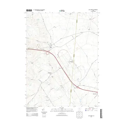 2013 East Liberty2013 Print · USGSSettled rural townships in Logan and Union counties show a mix of deep agricultural roots and modern industrial research at the start of the 21st century. Genealogists can trace family sites at Inskeep Cemetery or Middleburg Cemetery while mapping the landscape around East Liberty and Pottersburg.
 - 2016 Map of East Liberty, 2016 Print
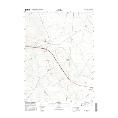 2016 East Liberty2016 Print · USGSThe headwaters of the Big Darby and Little Darby Creeks flow through this rural Ohio landscape as it appeared in the mid-2010s. Researchers can locate numerous family burial grounds and small-town centers like Middleburg, East Liberty Cem, and Pottersburg.
 - 2016 Map of York Center, 2016 Print
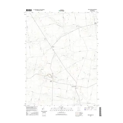 2016 York Center2016 Print · USGSNorthwest Union County remains a landscape of traditional township grids and scattered rural hamlets in the mid-2010s. Genealogists can trace family connections through the locations of Byhalia Cem, York Center Cem, and Summersville.
Showing maps 1-25 of 35
Top cities near Liberty Township
- Marysville historical maps
- Plain City historical maps
- Richwood historical maps
- North Lewisburg historical maps
- Milford Center historical maps
- West Mansfield historical maps
See more
Top neighborhoods of Liberty Township
Frequently asked questions
- What are the different types of historical maps available for Liberty Township?
- What is the oldest map of Liberty Township?
- Where can I purchase historical maps of Liberty Township for my home or office?
- Where can I download high-res historical maps of Liberty Township?
- Are there historical topographic maps available for Liberty Township?
- Is there historical aerial imagery available for Liberty Township?
- Where are historical maps of Liberty Township sourced from?