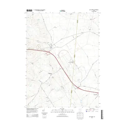
2013 Map of East Liberty
USGS Topo · Published 2013About this map
East Liberty and Middleburg anchor this rural landscape where the headwaters of several significant regional waterways emerge. The terrain is defined by the divides between Mill Creek, Otter Creek, and the branches of the Big Darby Creek. This modern survey illustrates the persistent agricultural character of the region alongside massive industrial footprints, most notably the Transportation Research Center of Ohio Airport and the sprawling corridors of Honda of America and Honda Parkway.
Find a feature on this map
60 named features on this map. Tap any name to fly to it.
Don’t see what you’re looking for? This feature index may not catch every label — zoom into the map to look around manually.
Map Details
Editions of this 2013 East Liberty Map
This is the sole edition of this map. No revisions or reprints were ever made.
Other maps of this area

1913 · East Liberty
USGS Topo · 1:62,500

1913 · Richwood
USGS Topo · 1:62,500

1914 · Mechanicsburg
USGS Topo · 1:62,500

1915 · Richwood
USGS Topo · 1:62,500

1915 · East Liberty
USGS Topo · 1:62,500

1916 · Mechanicsburg
USGS Topo · 1:62,500

1916 · Milford Center
USGS Topo · 1:62,500

1944 · East Liberty
USGS Topo · 1:62,500

1944 · Mechanicsburg
USGS Topo · 1:62,500

1944 · Richwood
USGS Topo · 1:62,500