
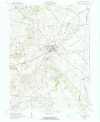
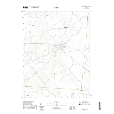
1944 Map of Mechanicsburg
USGS Topo · Published 1944About this map
Mechanicsburg stands as a primary hub within this 1944 Army Map Service survey, which captures the rail-heavy landscape of Champaign and surrounding counties during the mid-war period. The region is defined by a dense network of major lines, including the Erie Railroad, Pennsylvania Railroad, and New York Central Railroad, which intersect at critical junctions like Mingo and Catawba Sta. These corridors supported a distributed network of rural settlements and livestock-rearing areas, evidenced by the high concentration of district schools such as Pretty Prairie Sch and School No 6.
Find a feature on this map
74 named features on this map. Tap any name to fly to it.
Don’t see what you’re looking for? This feature index may not catch every label — zoom into the map to look around manually.
Map Details
Editions of this 1944 Mechanicsburg Map
This is the sole edition of this map. No revisions or reprints were ever made.
Historical Maps of Urbana Through Time
9 maps found

1914 Mechanicsburg
Champaign County, OH

1916 Mechanicsburg
Champaign County, OH
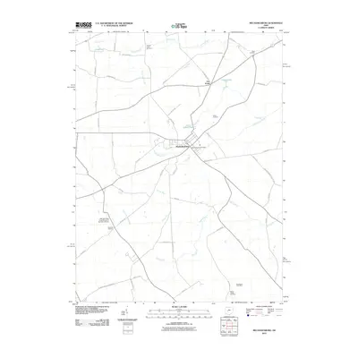
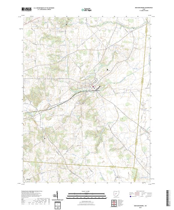
1944 Mechanicsburg
Champaign County, OH
1961 Mechanicsburg
Champaign County, OH
2010 Mechanicsburg
Champaign County, OH
2013 Mechanicsburg
Champaign County, OH
2016 Mechanicsburg
Champaign County, OH
2019 Mechanicsburg
Champaign County, OH
2023 Mechanicsburg
Champaign County, OH