Old Maps of Richey, Ohio for Hiking & Exploration
Hike through history with 11 historic maps of Richey. Explore old trails, ghost towns, and forgotten backroads — perfect for outdoor adventurers and local explorers.
- Rediscover forgotten places: Map out old mining camps, roads, and footpaths that no longer exist on modern maps.
- Layer with modern tools: Combine with LiDAR or satellite views to plan hikes through historical terrain.
- Made for exploration: Popular among hikers, overlanders, and local history lovers.
Use these maps to find adventure and explore the hidden past of Richey.
Richey, OH maps
(11)- 1914 Map of Van Wert, 1942 Print
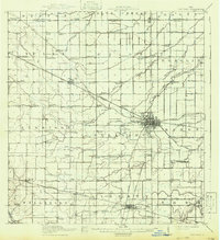 1914 Van Wert1942 Print · USGSWestern Ohio’s agricultural heartland is documented here just before the First World War, when electric interurban lines still connected rural townships. Genealogists can locate named local landmarks like Sugar Grove Church, Wolfcale School, and the village of Venedocia.
 - 1944 Map of Van Wert
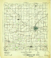 1944 Van Wert1944 Print · USGSVan Wert County was a bustling rail and road nexus during the 1940s, centered on the intersection of the Pennsylvania Railroad and Lincoln Highway. Researchers can trace dozens of local landmarks from Willshire to Scott, including numerous rural schoolhouses like Gunsett Sch and country parishes like Asbury Ch.
 - 1953 Map of Muncie, 1966 Print
 1953 Muncie1966 Print · USGSIndiana and Ohio borderlands thrive in the early fifties, showing a landscape defined by manufacturing cities and an intensive railroad network. Genealogists can trace family roots across the Indiana-Ohio line through Muncie, Celina, and Portland via the Pennsylvania railroad.5 unique versions available
 - 1956 Map of Muncie
 1956 Muncie1956 Print · USGSEastern Indiana and western Ohio are shown at a peak of rail-driven industry in the mid-fifties. Genealogists and rail historians can trace the paths of the Pennsylvania RR through Muncie or locate landmarks like Lake Saint Marys (Grand Lake Reservoir) and Frances Slocum State Forest.
 - 1960 Map of Convoy, 1961 Print
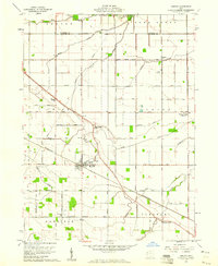 1960 Convoy1961 Print · USGSSurrounding the rail hub of Convoy in the early 1960s, this area of Van Wert County is a landscape of established family farms and country churches. Researchers can locate the Convoy Union Jr High Sch, find Union Quarries, and trace family roots at St Johns Cem.3 unique versions available
 - 1986 Map of Lima
 1986 Lima1986 Print · USGSWest Ohio and East Indiana are captured here in the mid-1980s, showcasing a landscape of productive farmland and industrial transit hubs. Genealogists and historians can trace the development of Lima and Van Wert or locate landmarks like Woodland Chapel and the Lima Ordnance Modification Center.3 unique versions available
 - 2010 Map of Convoy, 2010 Print
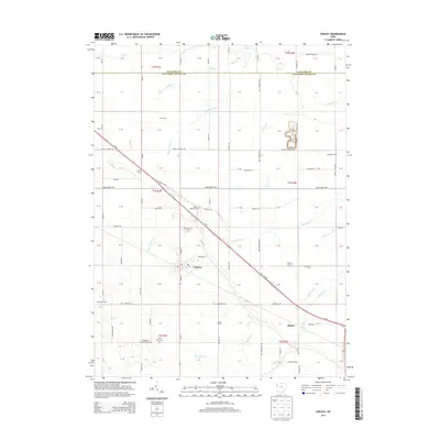
 2010 Convoy2010 Print · USGSCovers Richey, including Convoy, Van Wert County, and other nearby areas
 - 2013 Map of Convoy, 2013 Print
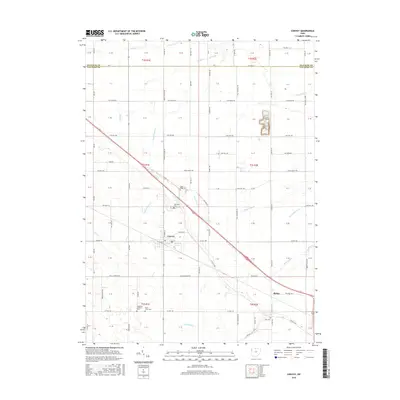
 2013 Convoy2013 Print · USGSCovers Richey, including Convoy, Van Wert County, and other nearby areas
 - 2016 Map of Convoy, 2016 Print
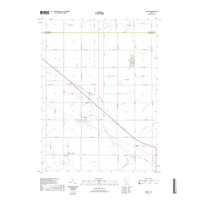
 2016 Convoy2016 Print · USGSCovers Richey, including Convoy, Van Wert County, and other nearby areas
 - 2019 Map of Convoy, 2019 Print
 2019 Convoy2019 Print · USGSCovers Richey, including Convoy, Van Wert County, and other nearby areas
 - 2023 Map of Convoy, 2023 Print
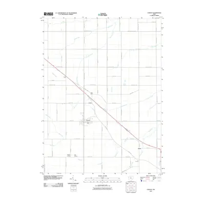
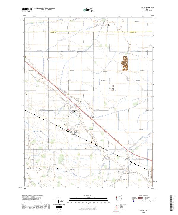 2023 Convoy2023 Print · USGSIn the modern era, the village of Convoy remains a vital hub within the agricultural landscape of Van Wert County. Researchers can trace historical footprints through several local landmarks, including Sugar Ridge Cem, Richey, and the path of the Lincoln Hwy.
End of results
Showing maps 1-11 of 11
Top cities near Richey
- Van Wert historical maps
- Monroeville historical maps
- Payne historical maps
- Rockford historical maps
- Convoy historical maps
- Ohio City historical maps
See more
Frequently asked questions
- What are the different types of historical maps available for Richey?
- What is the oldest map of Richey?
- Where can I purchase historical maps of Richey for my home or office?
- Where can I download high-res historical maps of Richey?
- Are there historical topographic maps available for Richey?
- Is there historical aerial imagery available for Richey?
- Where are historical maps of Richey sourced from?